Posts Tagged ‘travel’
Virtual hike along the Caher Valley Loop, Burren, Ireland
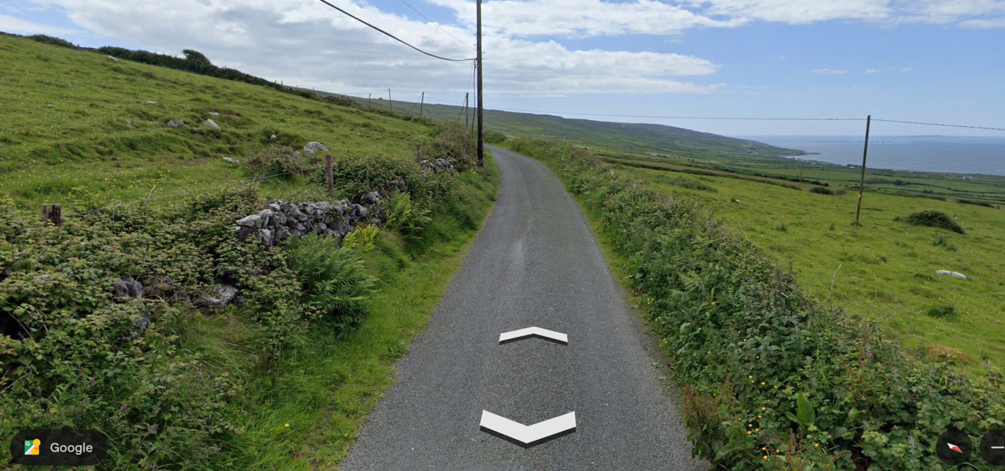
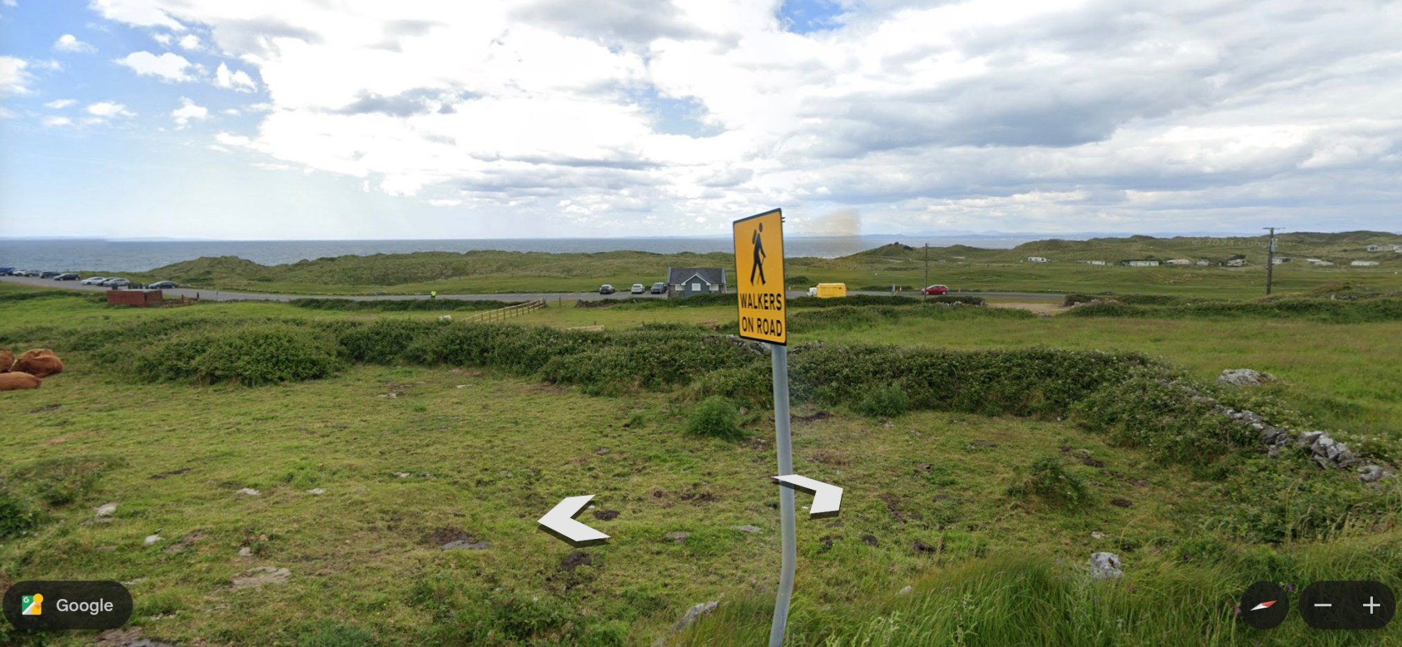
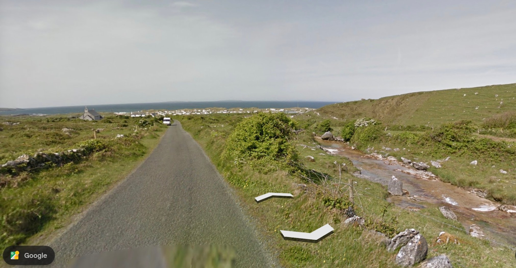
The Caher Valley Loop is a shorter trail (14.5 km), in the same area as the Burren Way (my recent post) and follows, in part, the same ‘green road.’ The trail begins along a main road, the Bôthar Leaca (translates to Flaggy Road). This climbs a hill and the ocean is visible to the right. The trail is included as Route 6 in Tony Kirby’s The Burren & the Aran Islands: A Walking Guide.
~
~
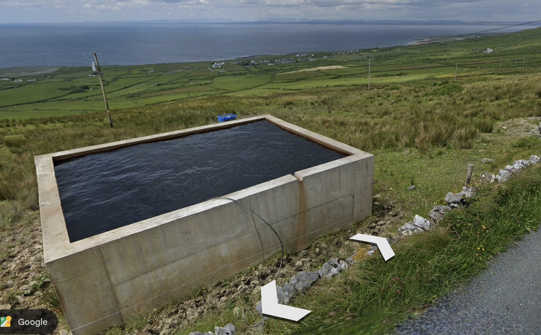
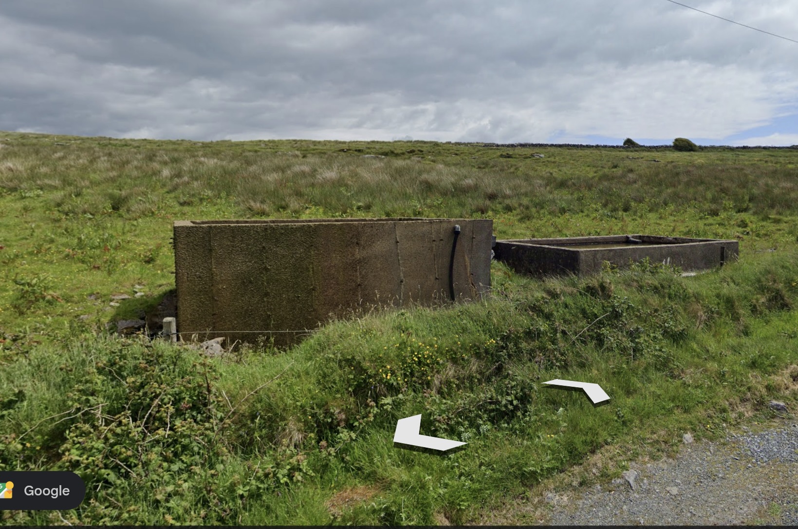
I was puzzled by a couple of structures along the road. My husband says these are cisterns or reservoirs for livestock water, fed by underground springs and streams.
~
~
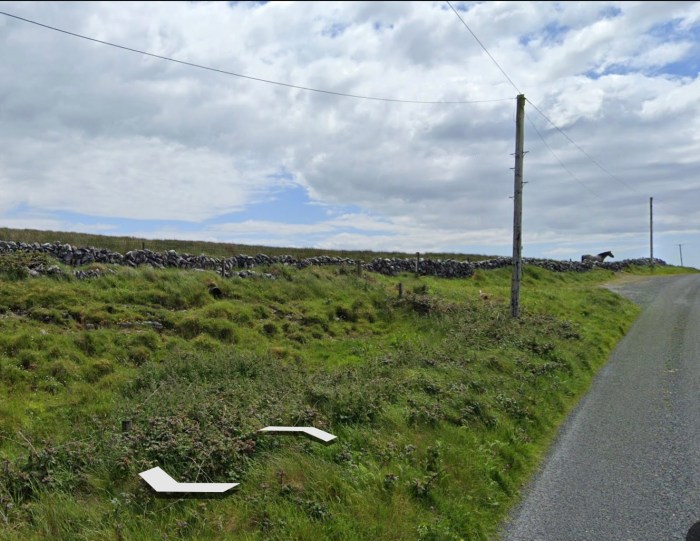
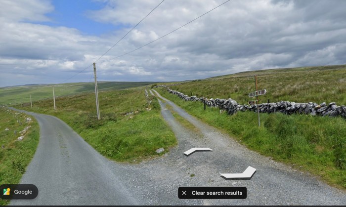
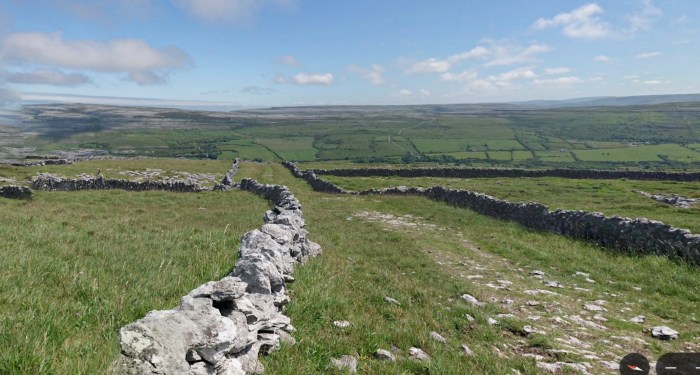
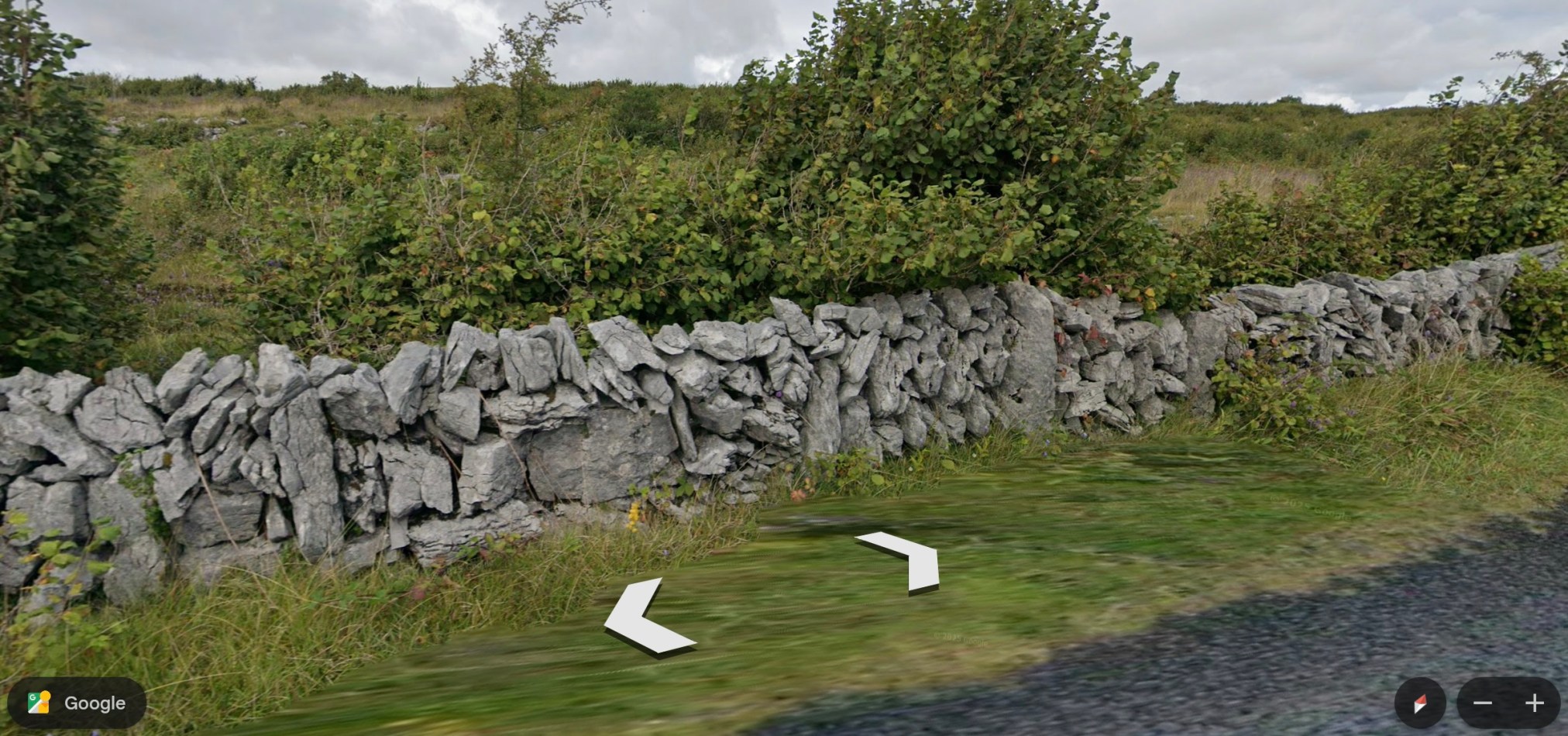
Where I met the horse on my virtual hike of the Burren Way, the trail takes a left across the same ‘green road.’ The ‘green roads’ are usually lined with stone walls and are used for livestock or hiking.
~
~
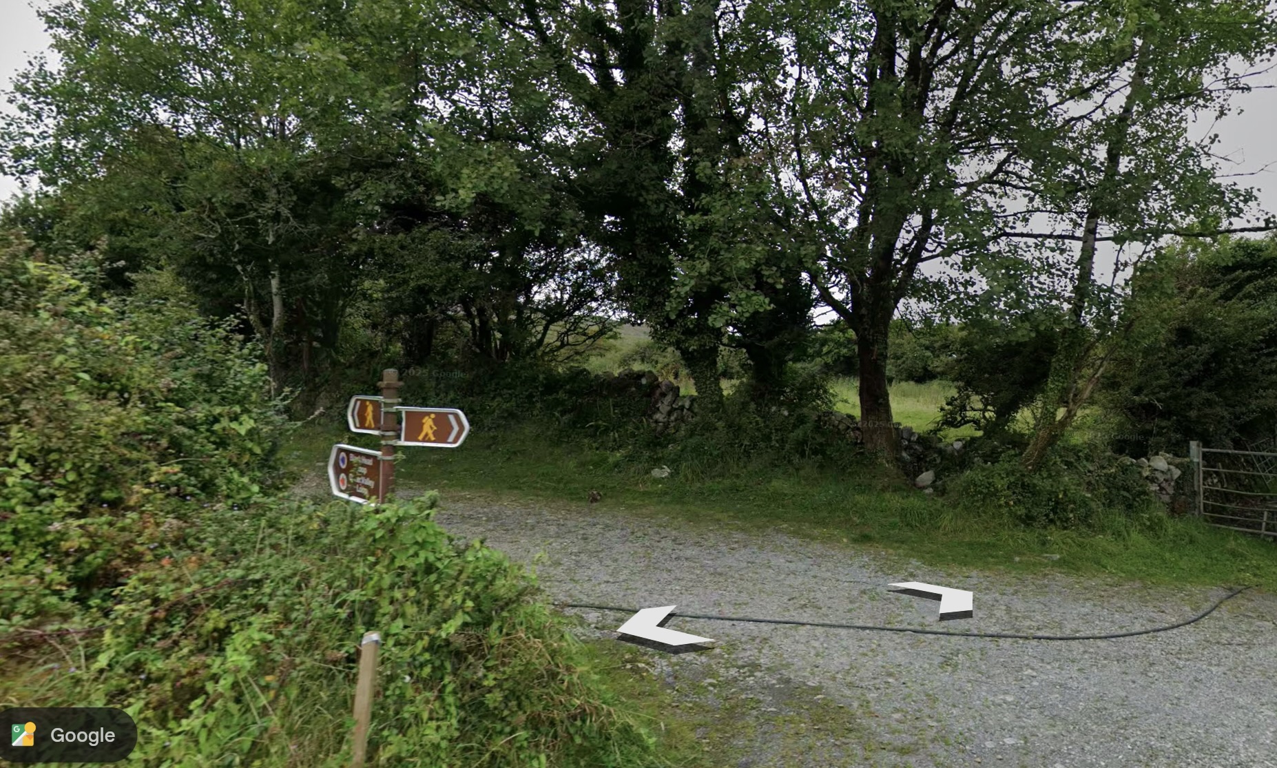
The Caher Valley Loop continues where the ‘green road’ exits to a Street View road and the trail proceeds all the way to the ocean.
~
~
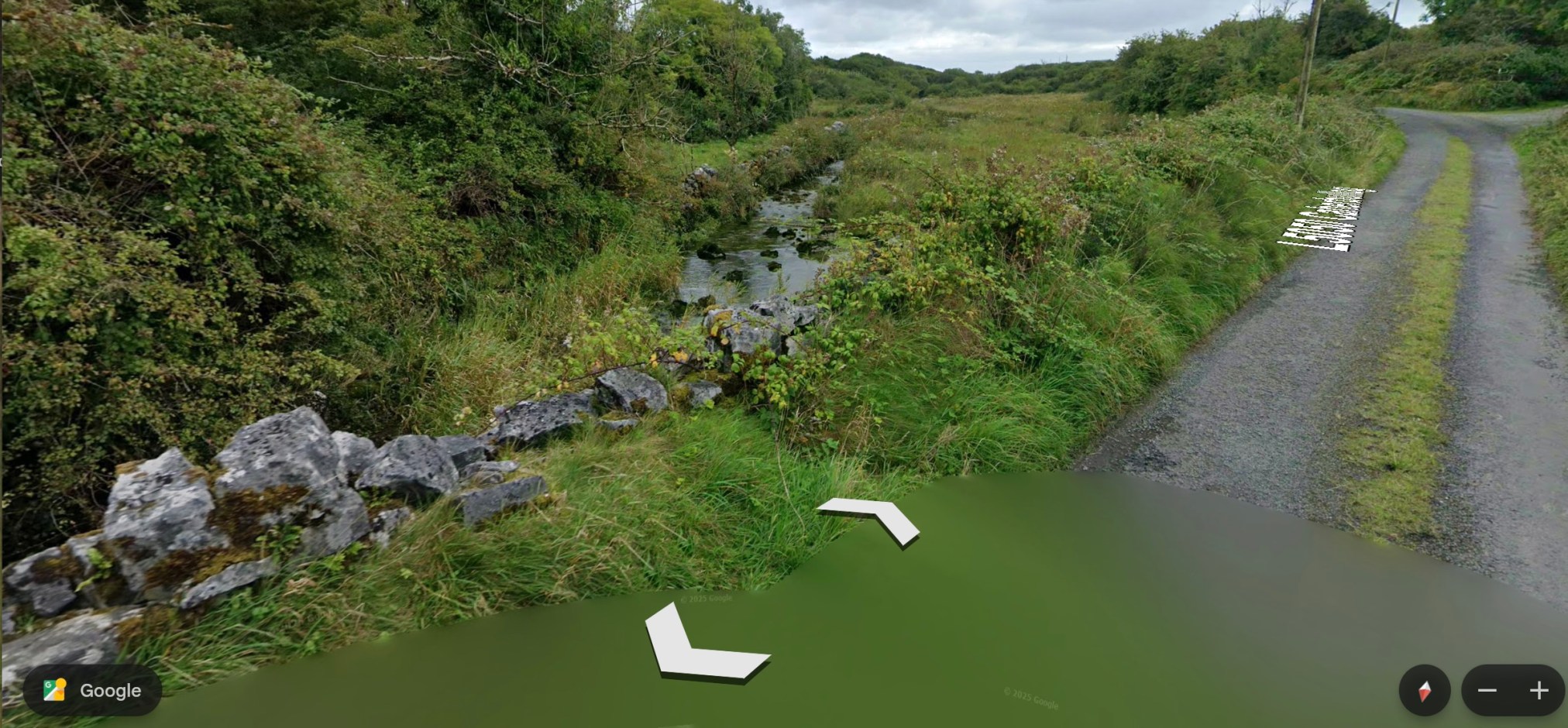
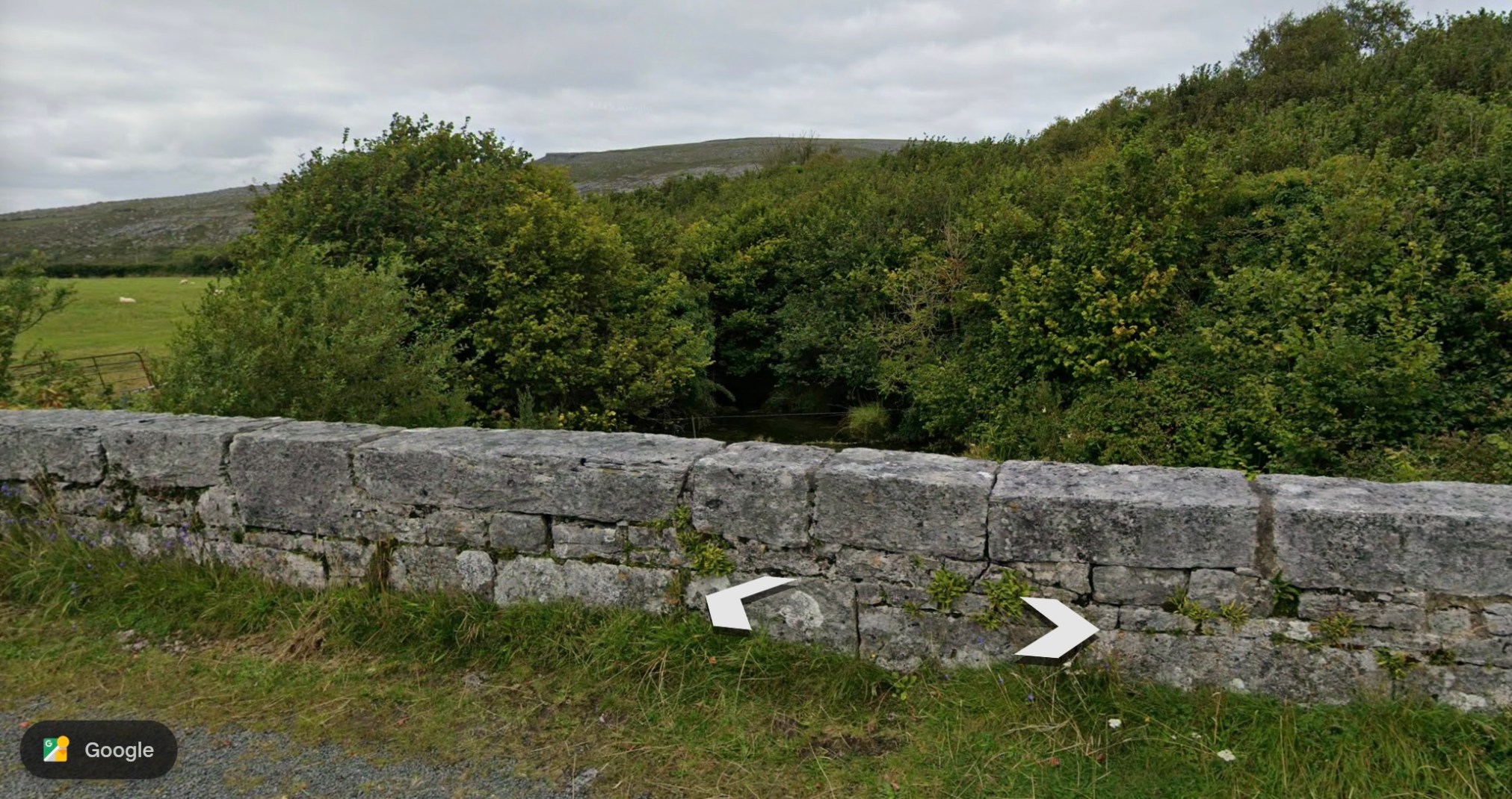
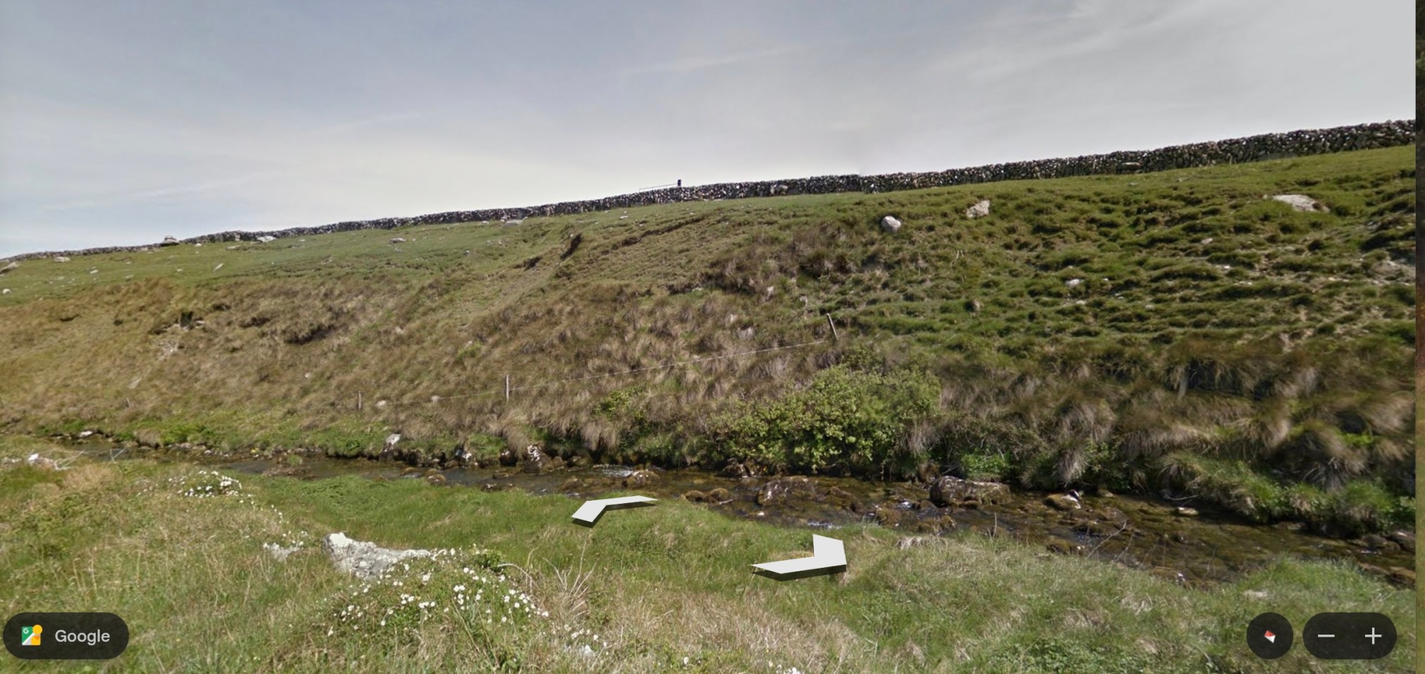
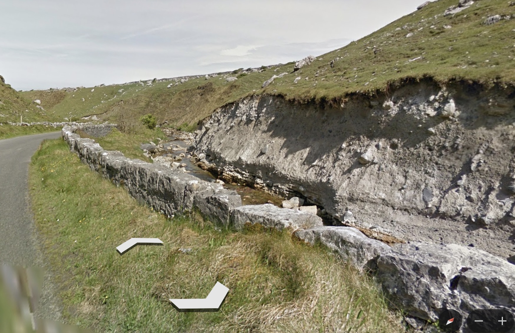
The issue of water seemed to dominate the trail. It follows the Caher River, a narrow stream, the only surface river in the area. Otherwise, water moves underground or surfaces only intermittently. This is because the limestone bedrock allows water to percolate away from the surface. The Caher River exists because of its unusual, impermeable clay riverbed. The trail crosses a couple of bridges and then leads downward to the ocean.
~
~
The terrain is very different from what I am used to—the surface soil is known to move over the limestone substrate, making it unsuitable for agriculture other than pasture. In the photos of the river, you can see the evidence of soil movement in the ‘waves’ of mobile ground and the shallow, eroding soil above the limestone.
~
~
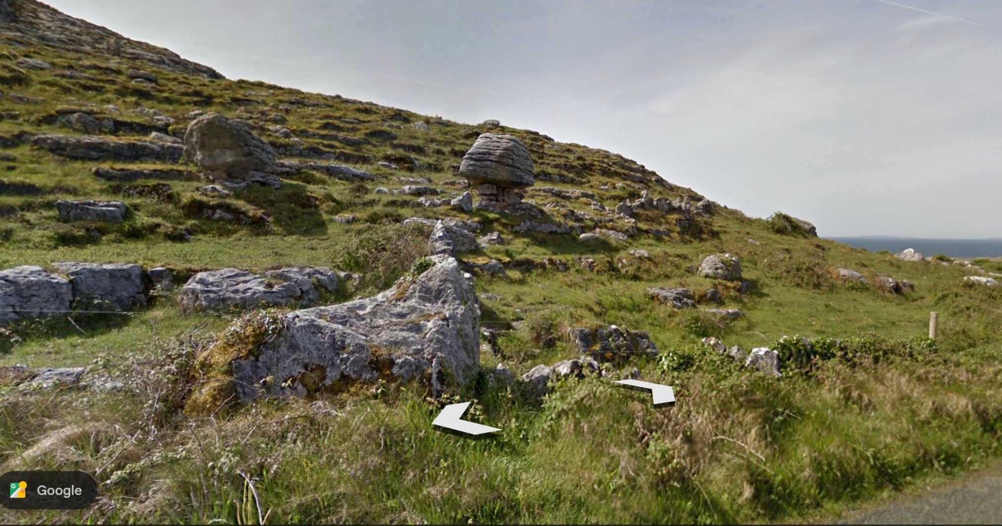
To end my virtual journey, I’ll show a photo of the local terrain and a particularly interesting ‘balancing rock’ (Source:Google Earth).
~
~
All my best,
Jane
A virtual journey to the Burren area of Ireland
Lately, I am aware of being on the computer every time I get a free minute. I have always been a multitasker and, when we watch TV, for example, I usually write, or sew, or play a game on my laptop. Lately I have been wishing for a more relaxing break time.
~
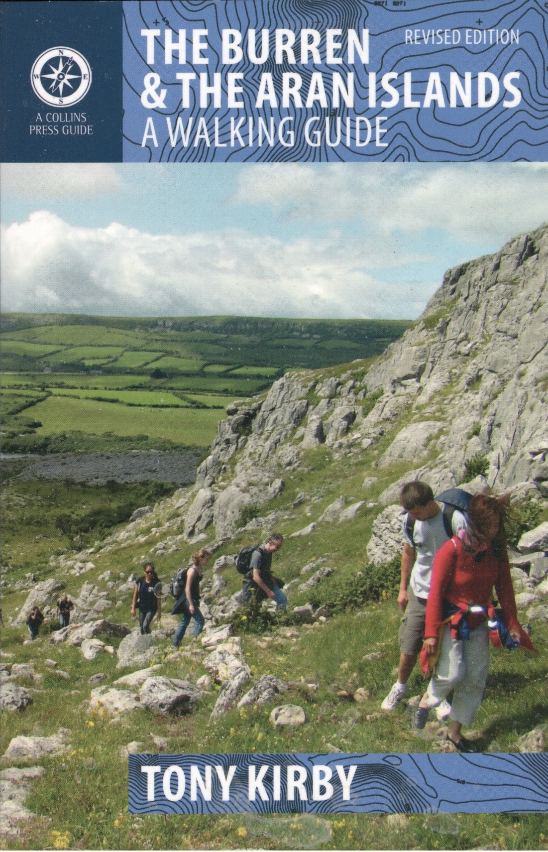
I am a botanist and in my writing life, I have collected many books. Among these has been The Burren & The Aran Islands: A Walking Guide (Tony Kirby, The Collins Press, Cork, 2014). I have never been to Ireland, but some of my ancestors lived there (my Ancestry DNA result indicates I am 4% from Connacht, Ireland, and 1% from Leinster, Ireland) and I am interested in the world they experienced.
~
~
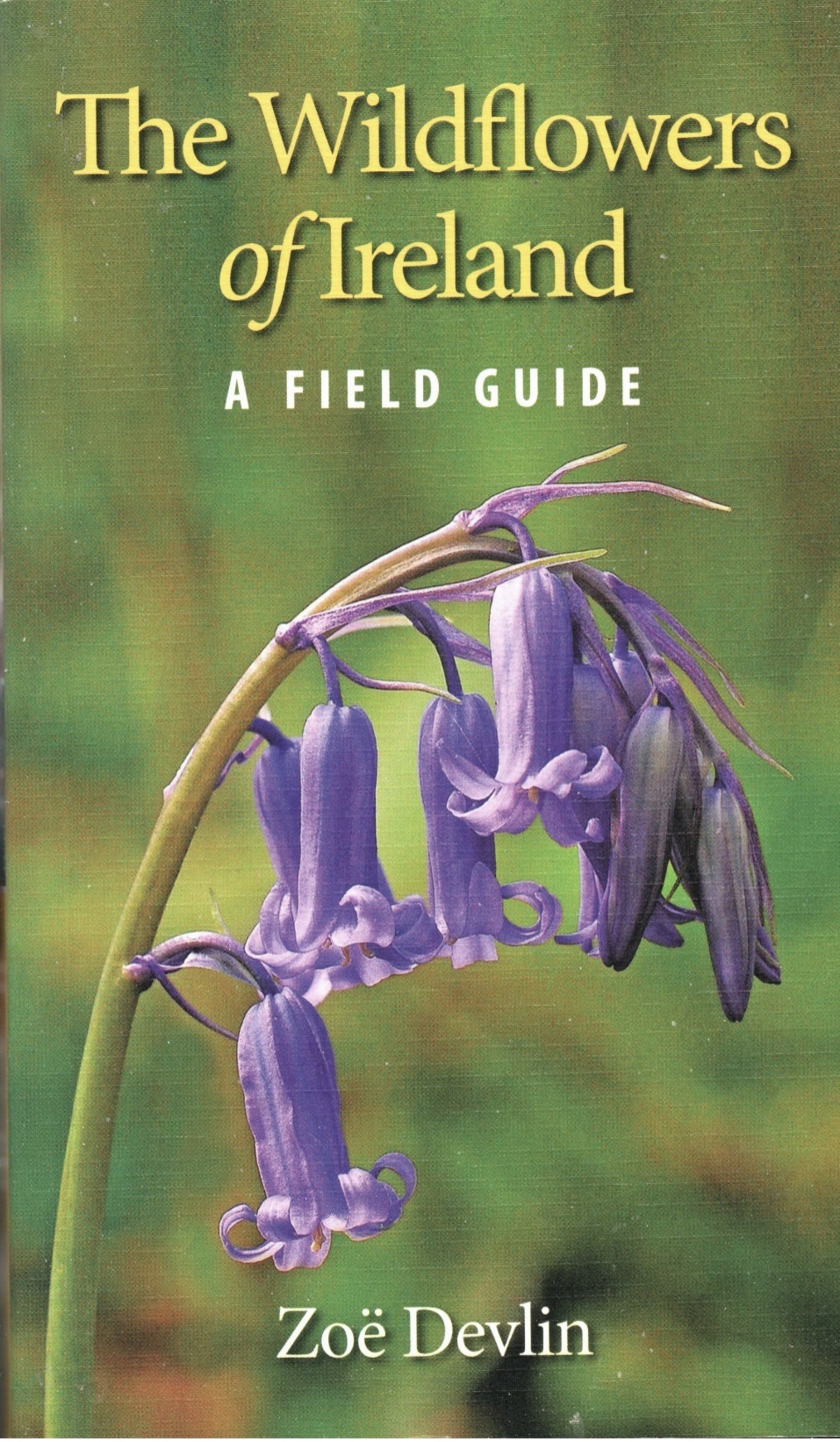
For this reason, I started to read The Walking Guide and quickly realized I was impressed by the geology of the area and the wildflowers found there. I also have a copy of the book The Wildflowers of Ireland: A Field Guide (Zoe Devlin, The Collins Press, Cork, 2018), so I have been able to look at a photo and description of the various species in The Walking Guide.
~
~
I realized as I read, that I would be able to get a better idea of the terrain and landscape on Google Earth‘s ‘Street View.’ Although the specific trails are not always found on Street View, many people have posted photos of parts of the trails. So, here I am, back on the computer!
~
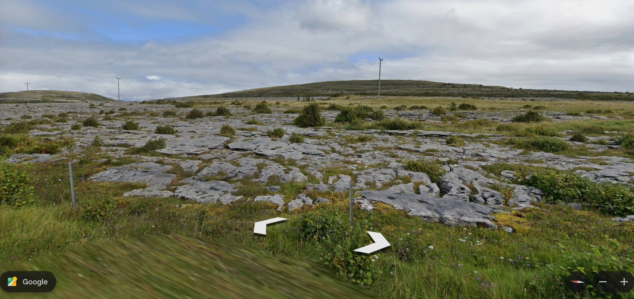
One of the most interesting aspects of this part of Ireland is the limestone pavements. This feature is extensive in the area and is made up of limestone rock. Blocks of the pavement are called glints; between glints are fissures called grikes. The pavements are a feature of Karst topography and were created by sedimentation and glacial erosion.
~
~
Although I know most of the flora of Canada and North America, I am encountering plants I have never seen was well as some I know well. An example of a plant known to me because it grows in our area, is yellow-rattle (Rhinanthus minor). A plant I have never seen is hoary-rockrose (Helianthemum oelandicum ssp. piloseelloides) a plant rare in Ireland. This is a low growing plant with 5-petalled yellow flowers.
~
I will enjoy my virtual walk through the Burren and the Aran Islands of Ireland. I am currently working on Route 5 of The Walking Guide. From time to time, I will post about some of the interesting geology, plants and history I encounter.
~
~
All my best,
Jane
going round and round!
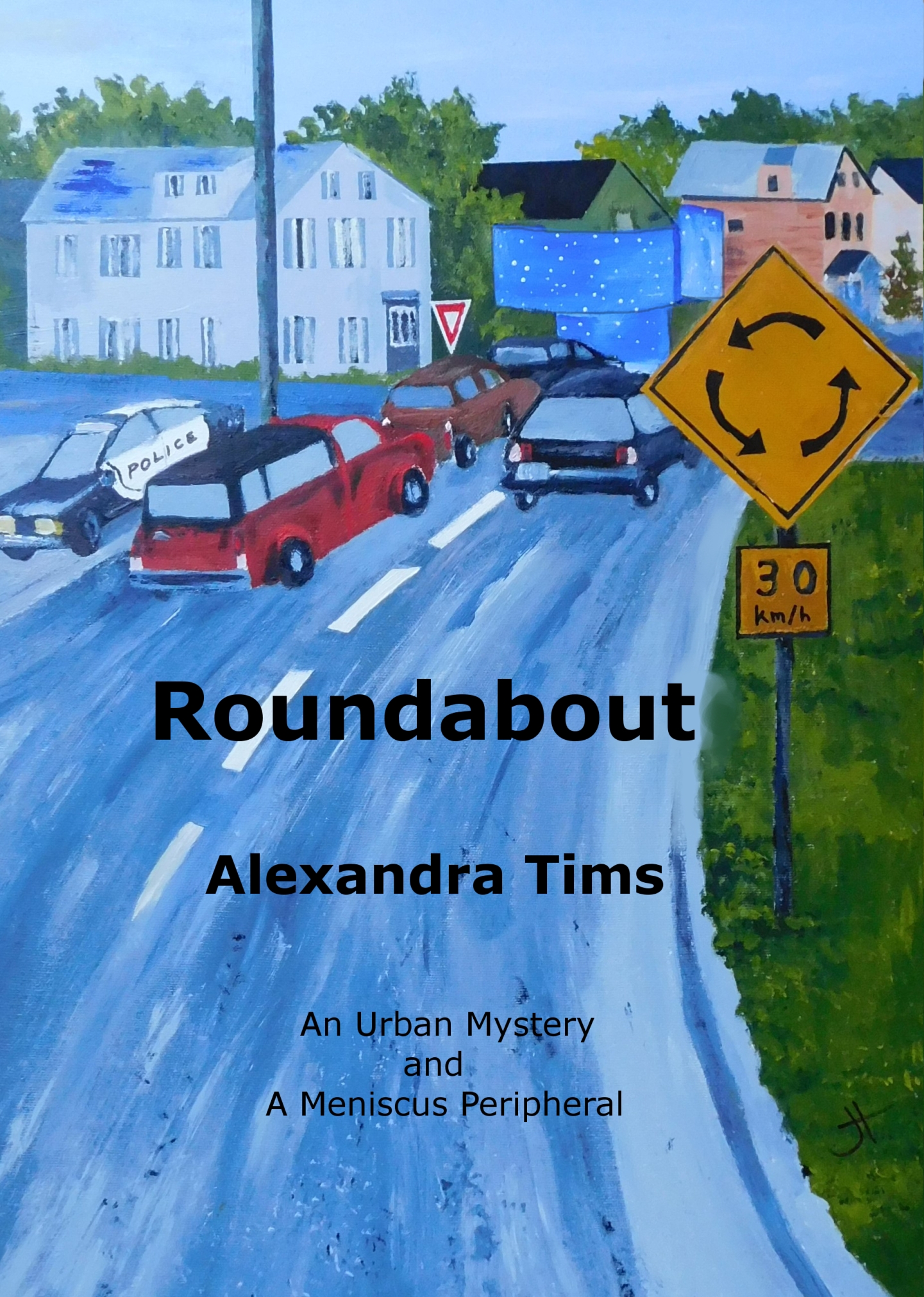
The third book in my Urban Mystery Series, ‘Roundabout,’ is set in Fredericton, New Brunswick. In the last fifteen years, we have been introduced gradually to the idea of the traffic circle, also known as the roundabout. As of this year, there are nine larger roundabouts and a few smaller ‘chicanes,’ to calm traffic. In general, this form of traffic control is more economical than traffic lights and safer in terms of numbers of accidents.
~
~
In my book, ‘Roundabout,‘ an artist sets out to capture the business of a city as expressed in the daily traffic of the Victoria Circle roundabout. Various events in the city are exemplified by her observations: for example, the numbers of tractors and work trucks indicate increased construction activity. The artist realizes there are patterns to the traffic and one of those patterns may indicate nefarious activity.
~

~
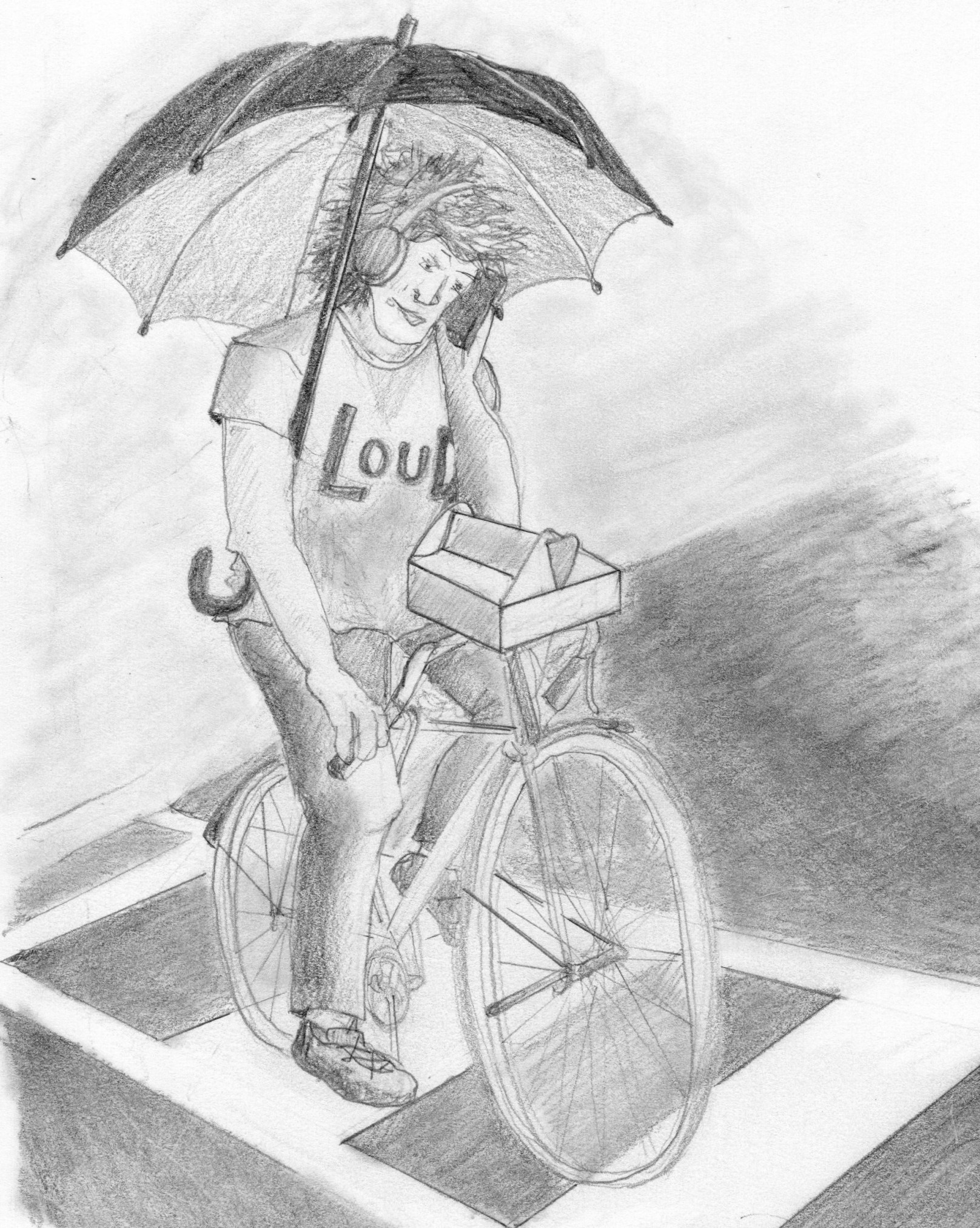
Doing research for this book was lots of fun. My husband and I parked down by the Victoria Circle and took note of the number and types of vehicles, the interactions of pedestrians and traffic, and the way people approach and use the roundabout. One cyclist, a multitasker, made it into the book in words and a drawing.
~
~
I hope you enjoy this book. The book is illustrated and includes a map of Victoria Circle. Traffic circles are almost everywhere; my interest in traffic circles began long ago when I used the Armdale Rotary in Halifax regularly. If you live in the Fredericton area, you will recognize a little of the city’s history and demographics. If you live elsewhere, I hope I will show you some of the interesting features of our beautiful city.
~
~
‘Roundabout’ is available in Dog Eared Books in Oromocto, or, to order, just click here.
~
All my best,
Jane (a.k.a. Alexandra)
Cover Painting for ‘Meniscus: Reckoning’
In preparation for the release of ‘Meniscus: Reckoning,’ the next book in the Meniscus Science Fiction Series, I have finished the painting for the cover.
~
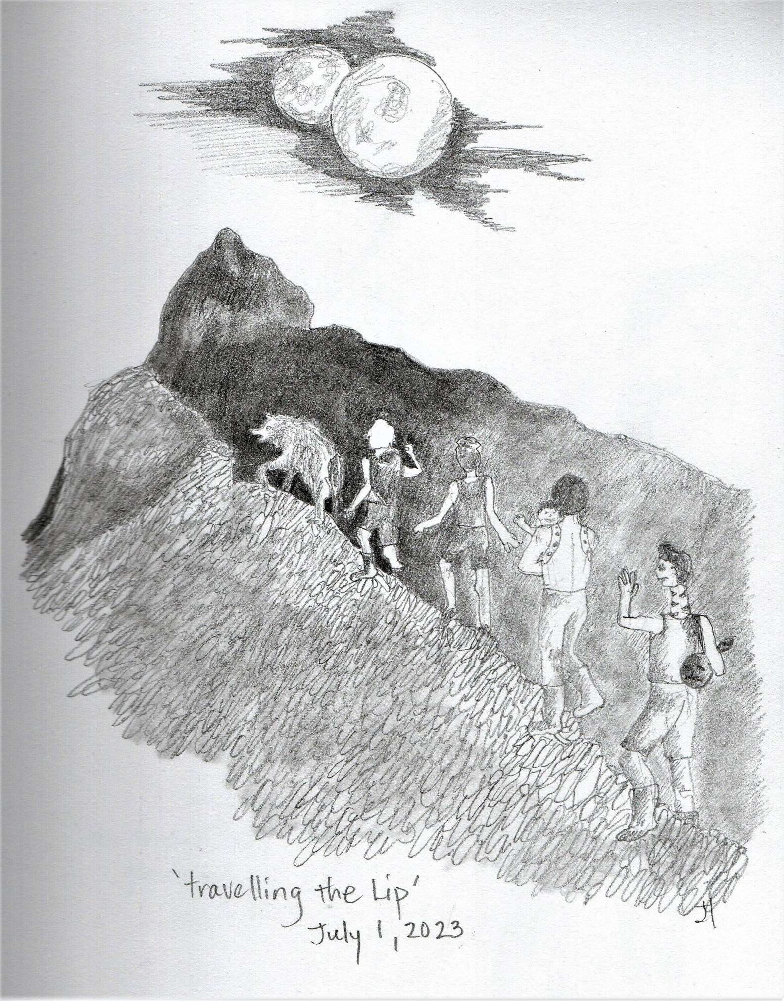
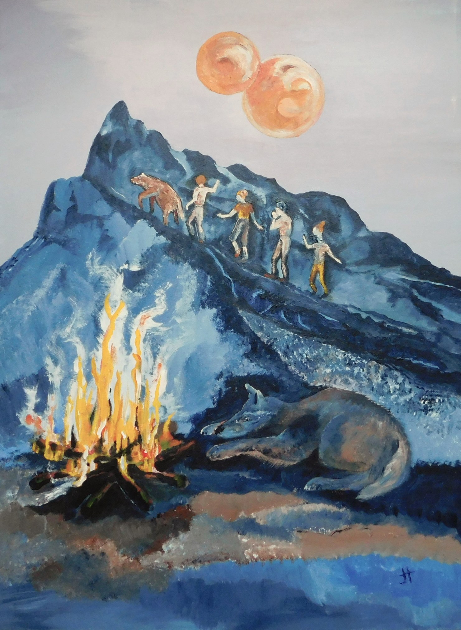
The painting is based on the pencil drawing ‘Travelling the Lip.’ It shows six travellers as they cross the treacherous El’ban Elevations, on their way to rescue James, imprisoned in El’ban. The group, in order, are Kotildi (the wild alien ‘wolf’), Belnar (one of the Slain), Odymn (heroine of many of the stories), Daniel (also a Slain), carrying Danny (Odymn and Daniel’s baby), and Don’est (the Dock-winder child, with her long neck).
~
~
To be consistent with other covers, I need a distant view of the Meniscus moons (Cardoth roe and Cardoth grill’en), a mid-range view of the travellers, and a nearer scene from the book. Campfires are a common theme in the story and who better to sleep by the fire than wolf-like Kotildi?
~
~
I was pleased with the painting. For a couple of days, I showed the travellers as black silhouettes against the Elevations. In the end, I gave them some colour, to suggest clothing and hair. I love the browns, blues and yellows in the painting.
~
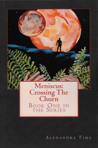
To make the painting fit the space on the book cover, I made some alterations in GIMP (GNU Image Manipulation Program). I brought the moons closer to the mountain silhouette and moved the fire and sleeping Kotildi closer to the travellers. In the end, the image fit well with the cover design. Here is a sneak peek at the final cover.
~

~
I am now re-reading Meniscus: Reckoning for the last time, making a few revisions as I go. I have also sent the proof to my beta-reader for her reactions.
~
I plan to release Meniscus: Reckoning in early May. I am looking forward to my reader response!
~
All my best!
Alexandra (a.k.a. Jane)
another virtual bike ride … Ireland
Those of you who follow my blog may remember my virtual bike trips across France, along the Cornwall coast and in northern New Brunswick. I have decided to go virtual travelling again … along the southern coast of Ireland. According to my DNA, some of my ancestors were Irish so this will take me to my roots!
~

~
My virtual trip will be incentive to exercise on my stationary bike. While I am on the bike, I click along my ‘path’ using Street View of Google Earth. With the various tools in Google Earth I can plot my journey, measure the ‘distance’ I have travelled, and take some photos along the way. I began my journey on September 4, 2017 and you can follow along if you like, by following my other website http://www.alexandra128.wordpress.com
~

Hi. I would love you to have a look at my wellness blog http://www.alexandra128.wordpress.com
~
Best wishes
Alexandra (a.k.a. Jane)

The beginning of my trip, near Donegall West, Cork County, Ireland
jet-lag (days 46 and 47)
~
I had a great time during my week in California, but it has been hard to return to my regular routines. The four-hour time shift left me out of sync. For about ten days after arriving home, I was constantly sleepy, napping at odd times through the day. I also had a hard time regulating my eating and for a few days, breakfast was a three course meal (doesn’t make sense since in California, I would still be sleeping).
~
I slacked off my biking as well and after only two 30 minute sessions in 10 days, I woke one morning to find my knee in pain and almost locked into a bent position. Besides its other benefits, I think the stationary biking keeps my knee flexible and lubricated. I started biking again every two days and now my knee is back to ‘normal’.
~

~
7-46 November 13, 2013 35 minutes 3.0 km (from Port Navas to Constantine)
~
Being able to climb stairs easily is important, especially since I wanted to try out this set of stone stairs along the road in Cornwall …
~

November 21, 2013 ‘stone stair near Constantine’ Jane Tims
~
My experience with jet-lag has shown me how much easier it is to just hop on my stationary bike and see the Cornwall coast via Street View.
~
7-47 November 19, 2013 30 minutes 3.0 km (from Constantine to Mawgan)
~
The route for the last few days of my virtual travel has taken me across the inlets of the Helford River. This is interesting to me since I worked on waterways for so much of my career. I also saw a flock of ducks on the water of the Mawgan Creek, also worthy of a look since Street View captures so little wildlife.
~

~
A short distance farther along, the road crosses another branch of Mawgan Creek. It was a good subject for a watercolour, so I tried to capture the reflections in the water and the contrast between the soft vegetation and the hard stone bridge. In a lazy mood (more jet-lag???), I decided to use a spatter technique to give some interest to the scene. I got a little carried away with the red!
~
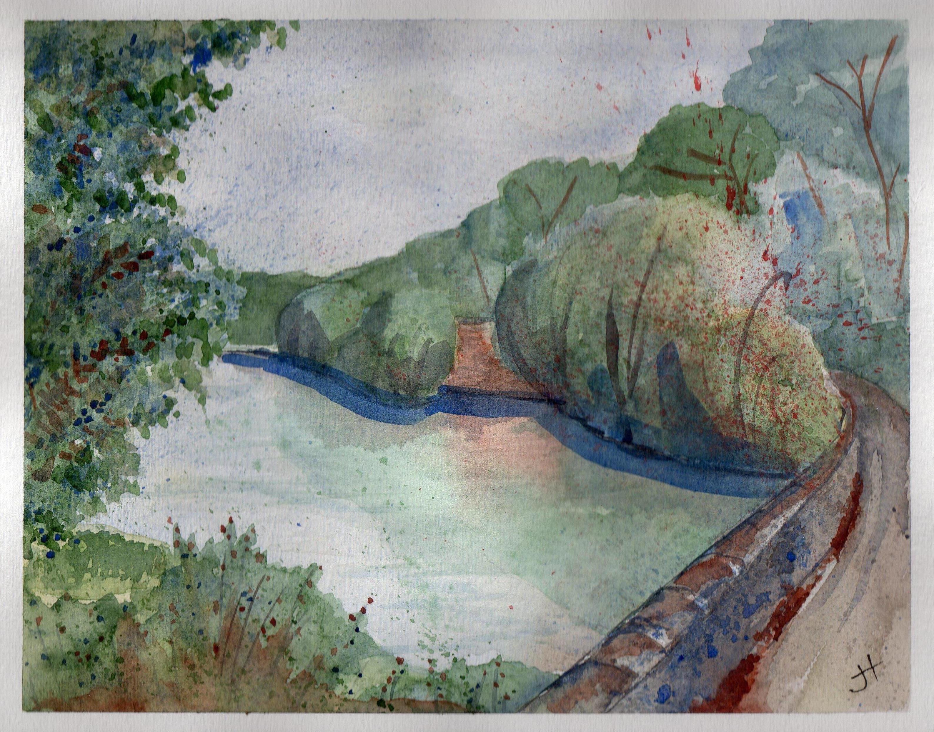
November 18, 2013 ‘Mawgan Creek’ Jane Tims
~
I coped so badly with my ‘jet-lag’ experience, I now have renewed admiration for those who must travel constantly because of their work.
~
I’d love to hear about your experiences with ‘jet-lag’.
~
Copyright 2013 Jane Tims
California #1
~
Spent last week in California! The Streets of San Francisco. Trolleys. Wharves. Sight seeing boats. Sight-seeing buses. Alcatraz and the Presidio. The Golden Gate Bridge. Star Fleet Academy -well, the site where it will be built!
~
Then to Calistoga in wine country. Tours of wineries, a cable car, a trip to an African Safari park, giant Redwoods, and The Pacific Ocean! Had lots of fun!
~
My camera ran out of batteries, but my son took lots of photos, so I’ll be sharing these in future …
~

~

~
Copyright 2013 Jane Tims