Posts Tagged ‘virtual travel’
Virtual hike along the Black Head Loop, Burren, Ireland
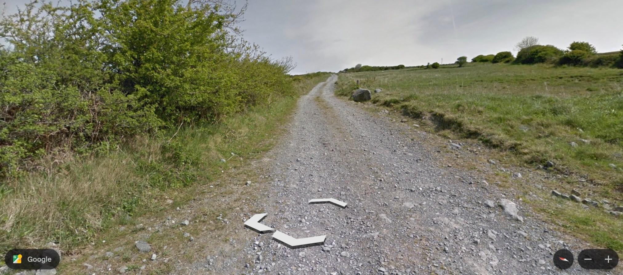
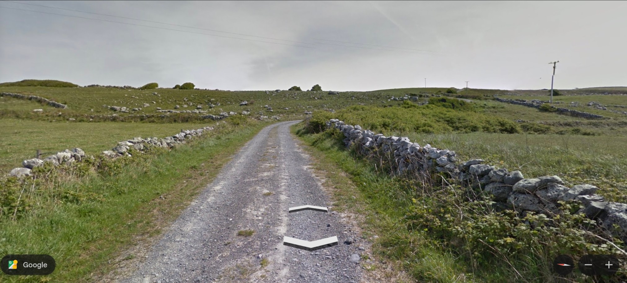
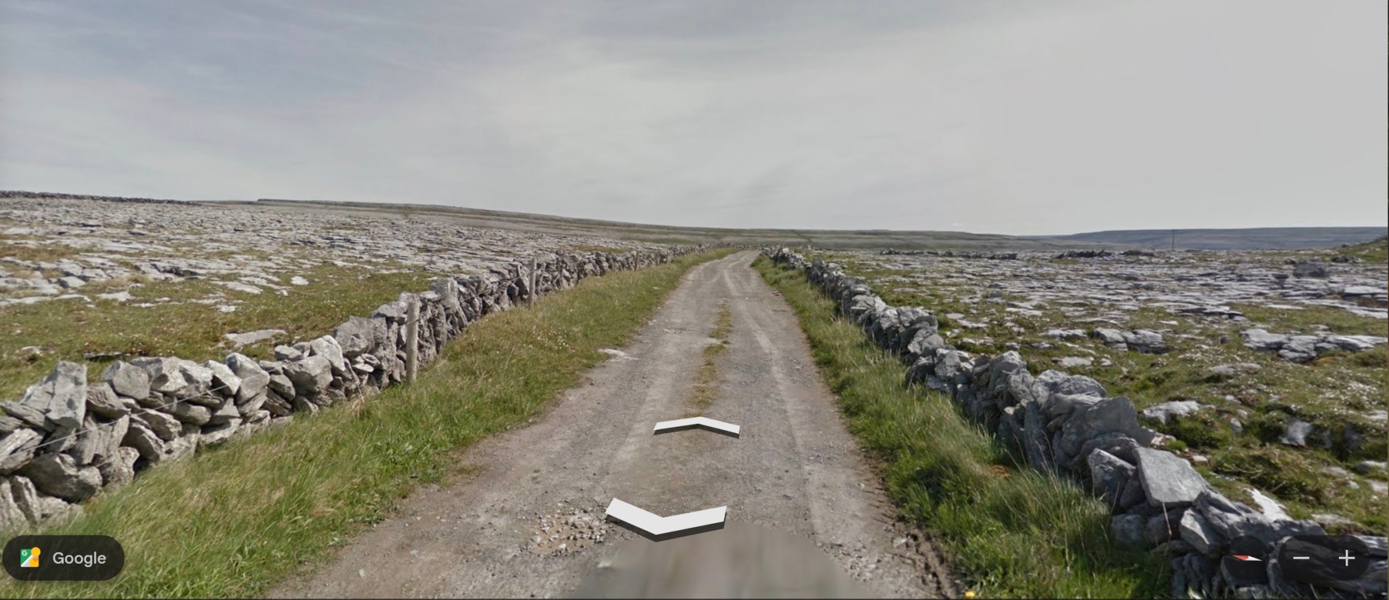
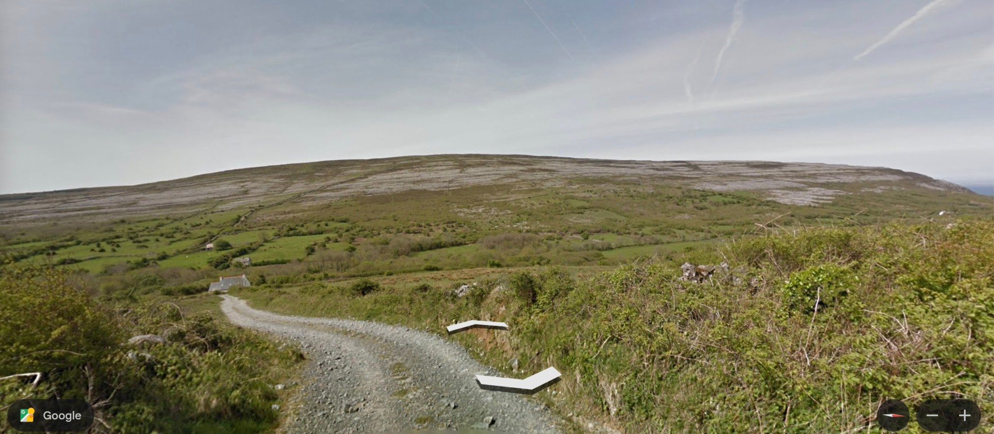
For the last couple of days, I have explored, virtually, the Black Head Loop, a trail called Route 7 in Tony Kirby’s The Burren & the Aran Islands: A Walking Guide. This trail includes the same ‘green road’ included in the Caher Valley Loop and the Burren Way, described in my last two ‘Burren’ posts, but also takes in some new areas, visible in Google Earth’s Street View.
~
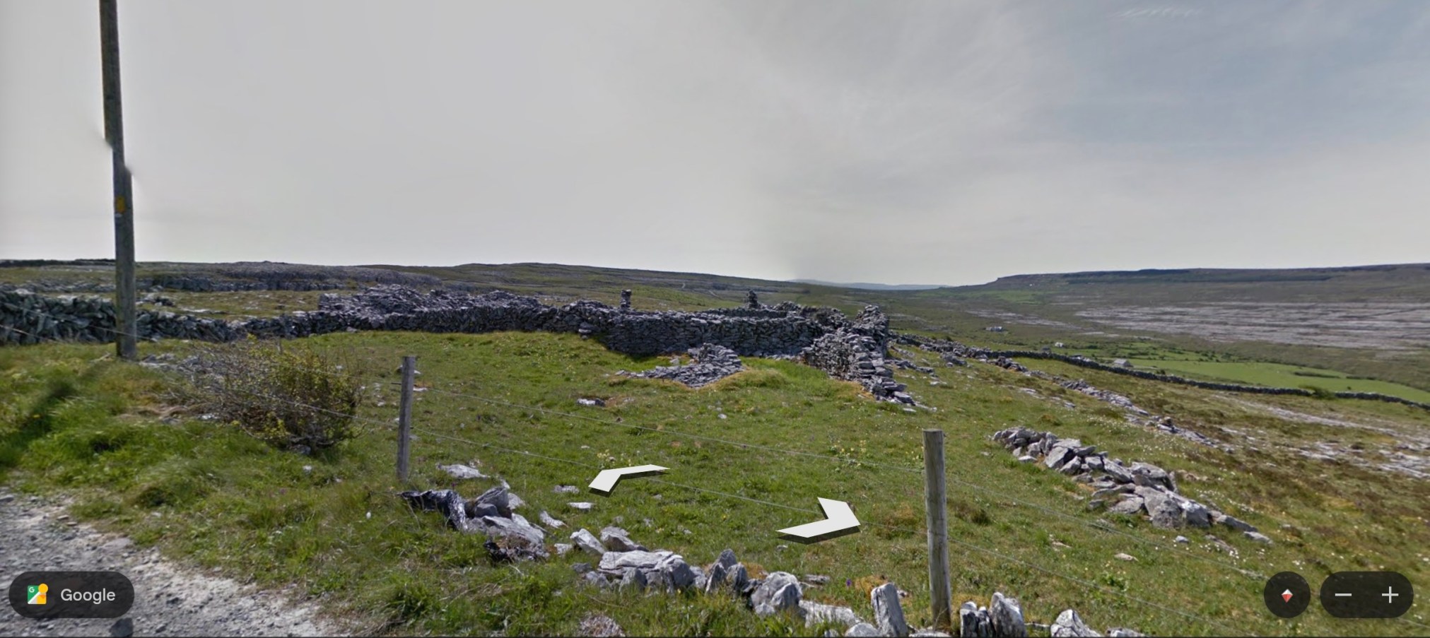
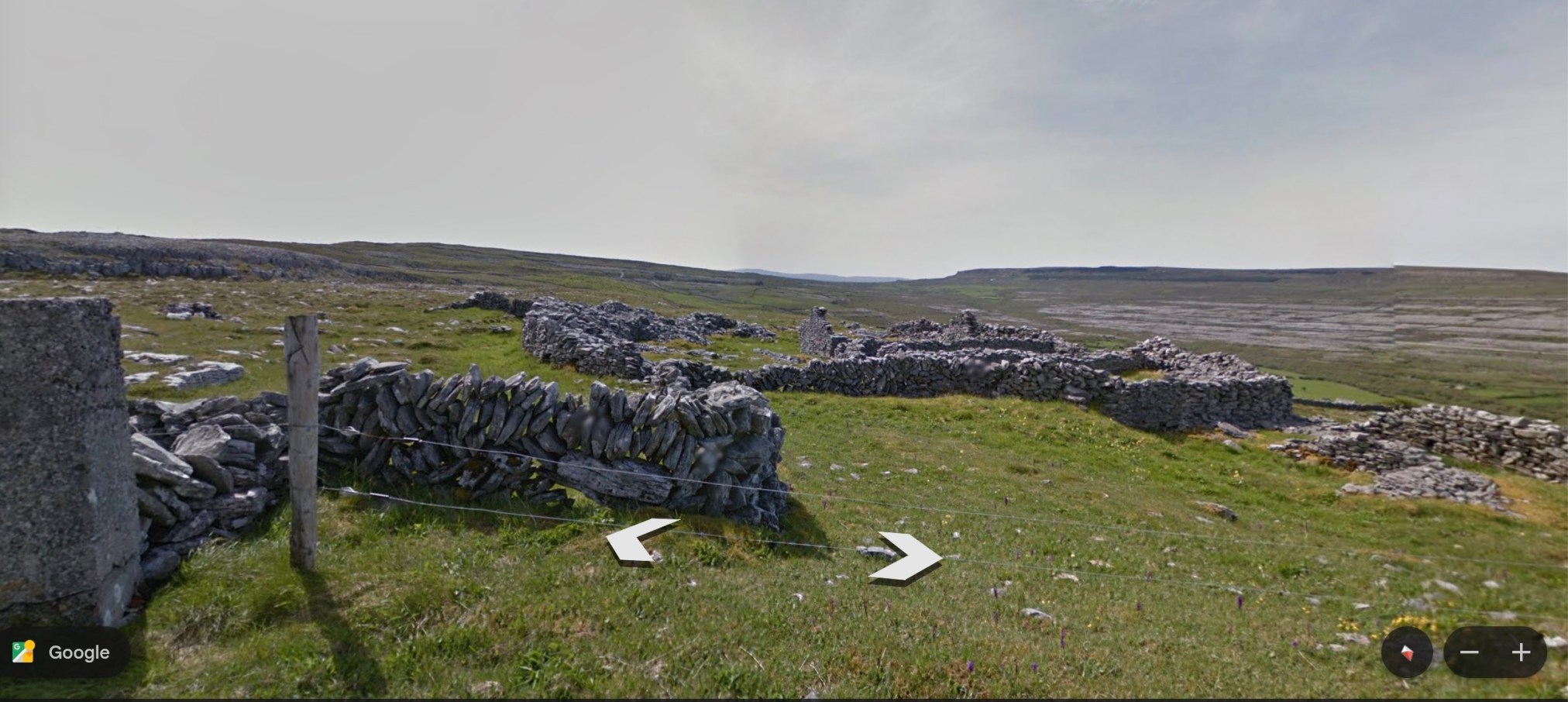
I started the trail where it intersects with the Caher River Road. The land now looks familiar to me, with expanses of green pasture land, stone fences, and the limestone pavements encountered on the Burren Way.
~
~
~
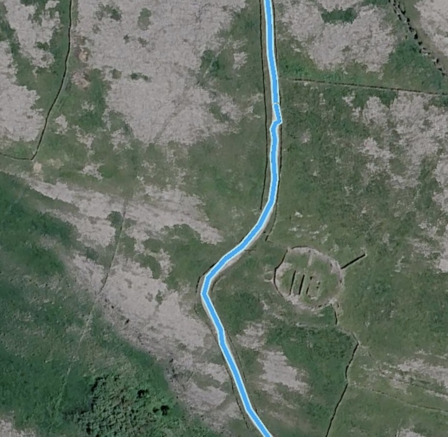
About half way along this part of the trail is a ruin, a ring known as Cathair an Arc Dorais (‘the fort of the high door’). It once housed both a church and an ale house!
~
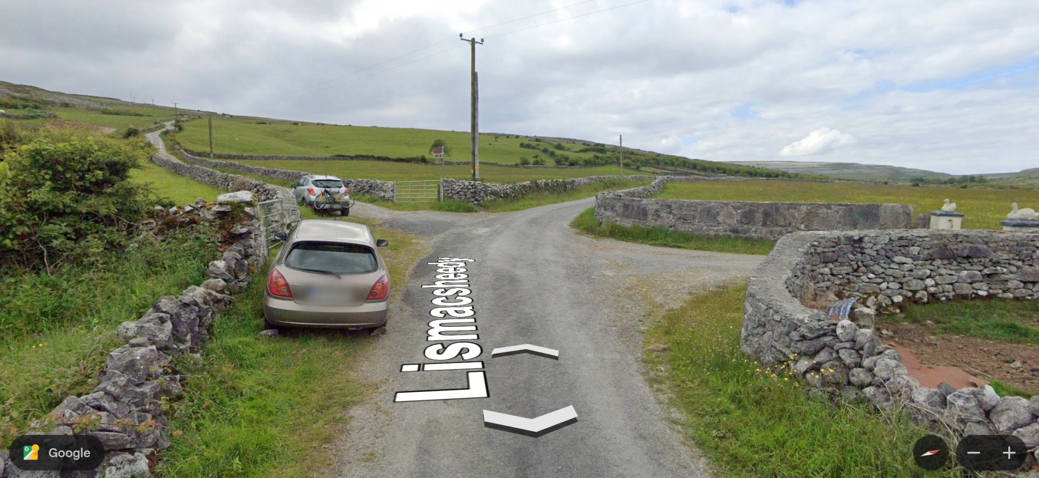
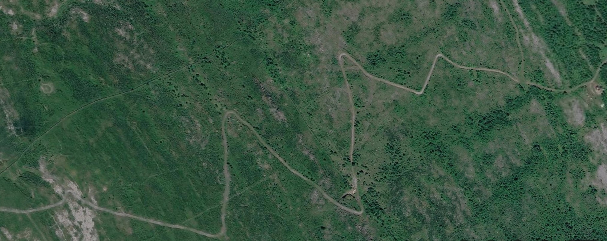
At the end of this road, the trail comes to an intersection and veers to the left towards Cappahawalla Peak. This is a zig zag ‘green road’ that has no Street View but an aerial view hints at the type of terrain.
This area is known for having an abundance and diversity of wilfdflower species. The bee orchid, pyramidal orchid, fragrant orchid and autumn lady’s tresses are all found here. Also, the very uncommon Arctic sandwort (Arenaria norvegica) which is only known from two other locations in the British Isles.
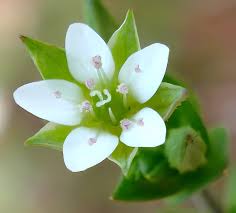
This sandwort is not included in Zoe Devlin’s Flora. She does list other sandworts including thyme-leaved sandwort (Arenaria serpyllifolia), which also grows here in New Brunswick. It is a low-growing herb with tiny white five-petalled flowers.
~
I will continue my ritual ‘walk’ along the Black Head Loop in the next post.
All my best,
Jane
A virtual journey to the Burren area of Ireland: Burren Way
I have been continuing on my virtual trail-walking, using The Burren &Aran Islands: A Walking Guide (Kirby, 2009). My trip yesterday was along the 22 km Burren Way. The trail starts at Ballynalackan (Clare County) and ends at Ballyvaughn to the northeast. Most of the road is on older, unpaved ways, but I was able to follow the start and finish of the trail on Google Earth Street View. Since the trail is so long, I decided to start at the Fanore Viewpoint a short distance from Ballyella, following the old ‘green road’ towards the Caher River.
~
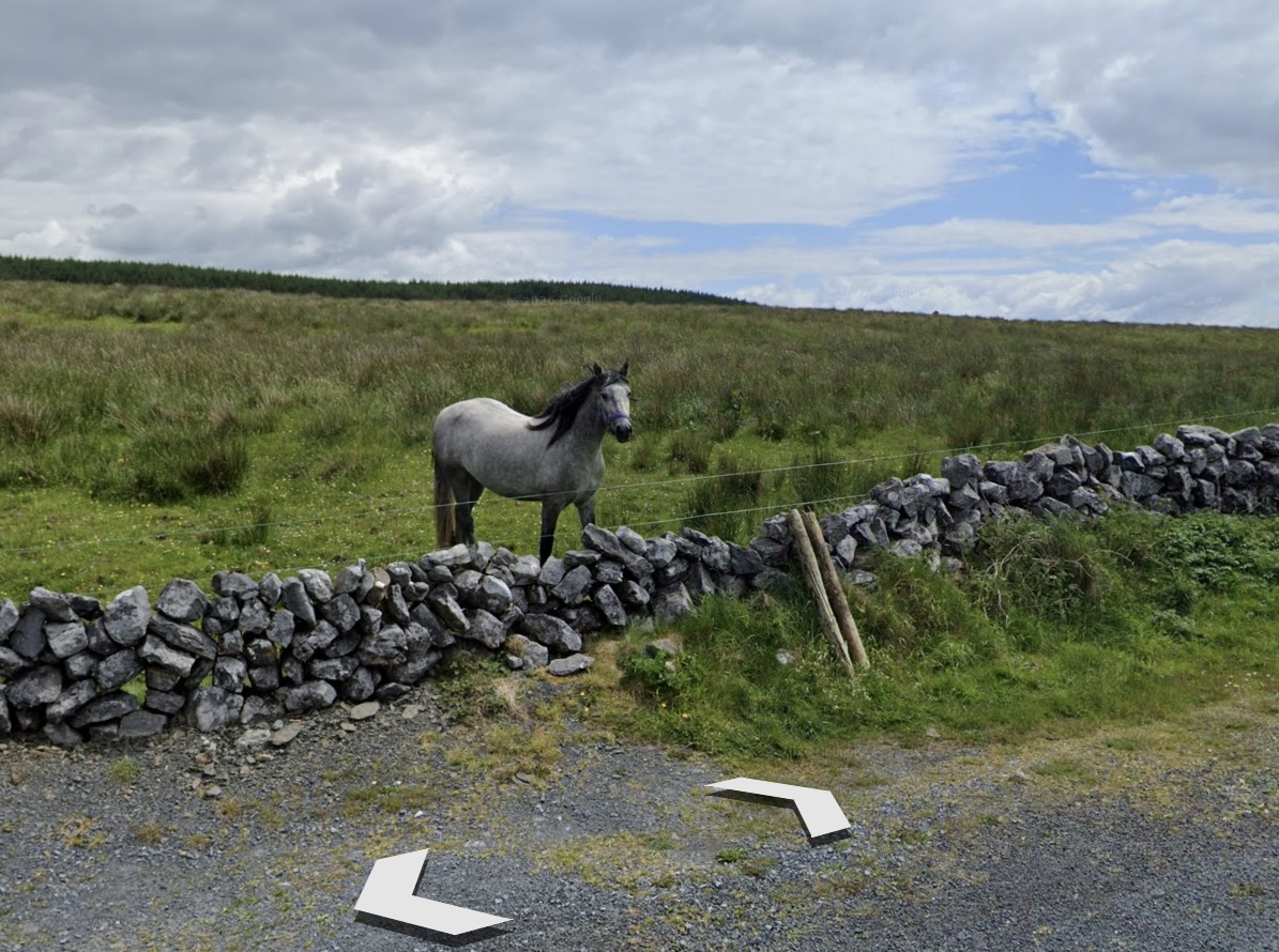
My first view of the trail involved meeting a friendly horse near the viewpoint. The trail begins to the left of the photo. You can see how open the landscape is here. Much of the trail crosses the limestone pavements mentioned in my last post about the Burren.
~
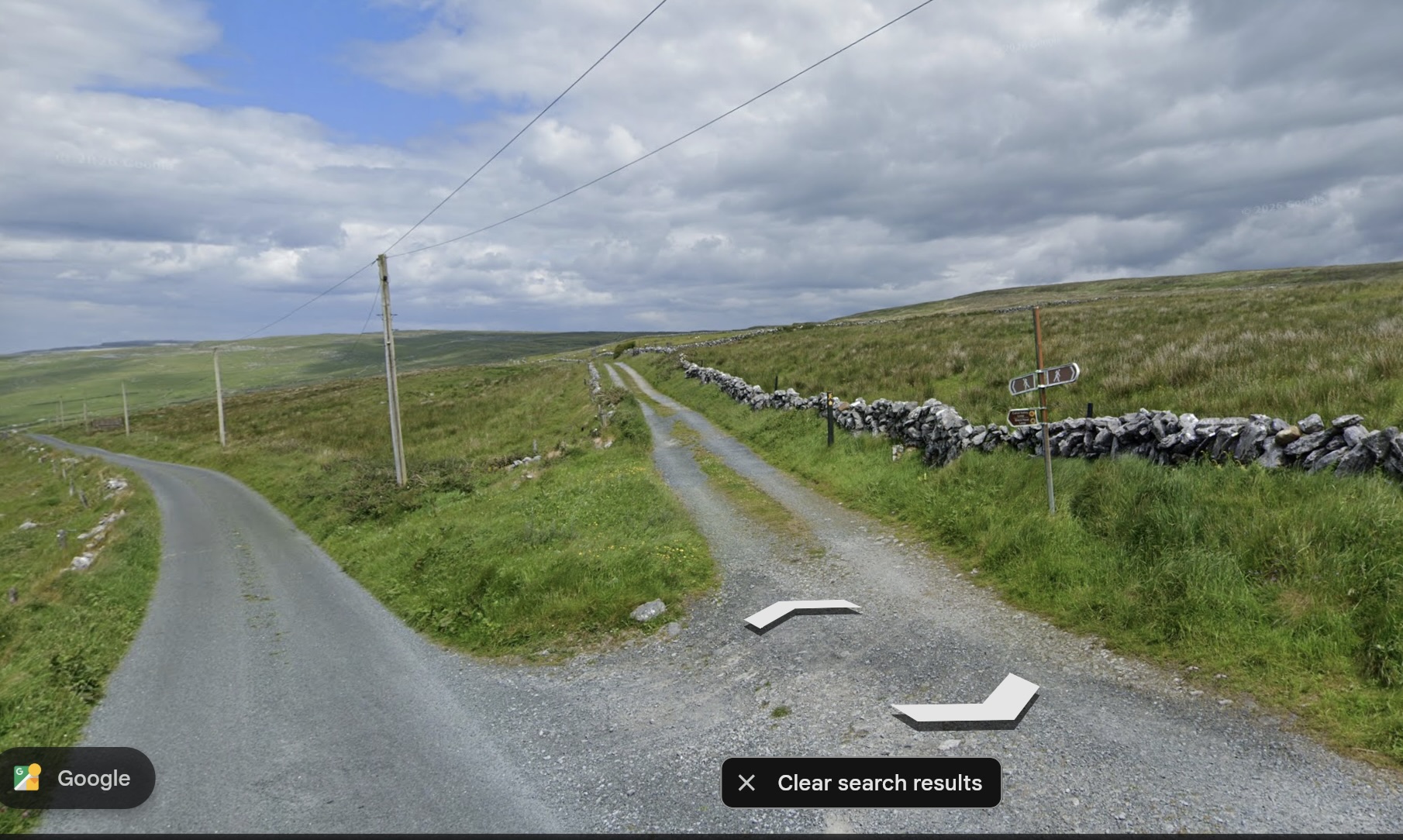
The trail begins at a ‘y’ in the road. To the left is a view of Galway Bay:
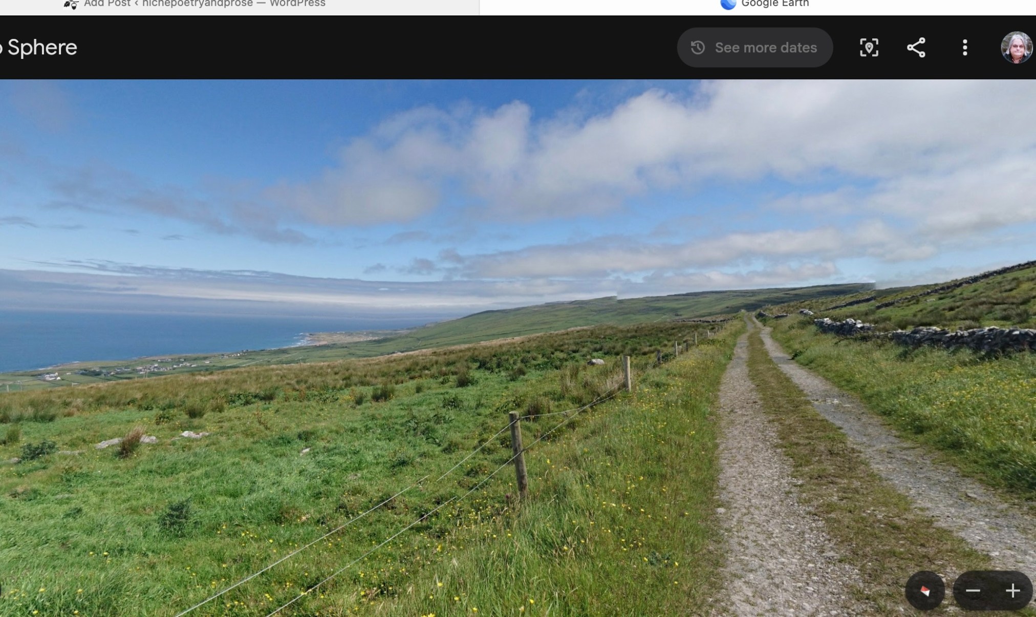
Source: Google Street View
~
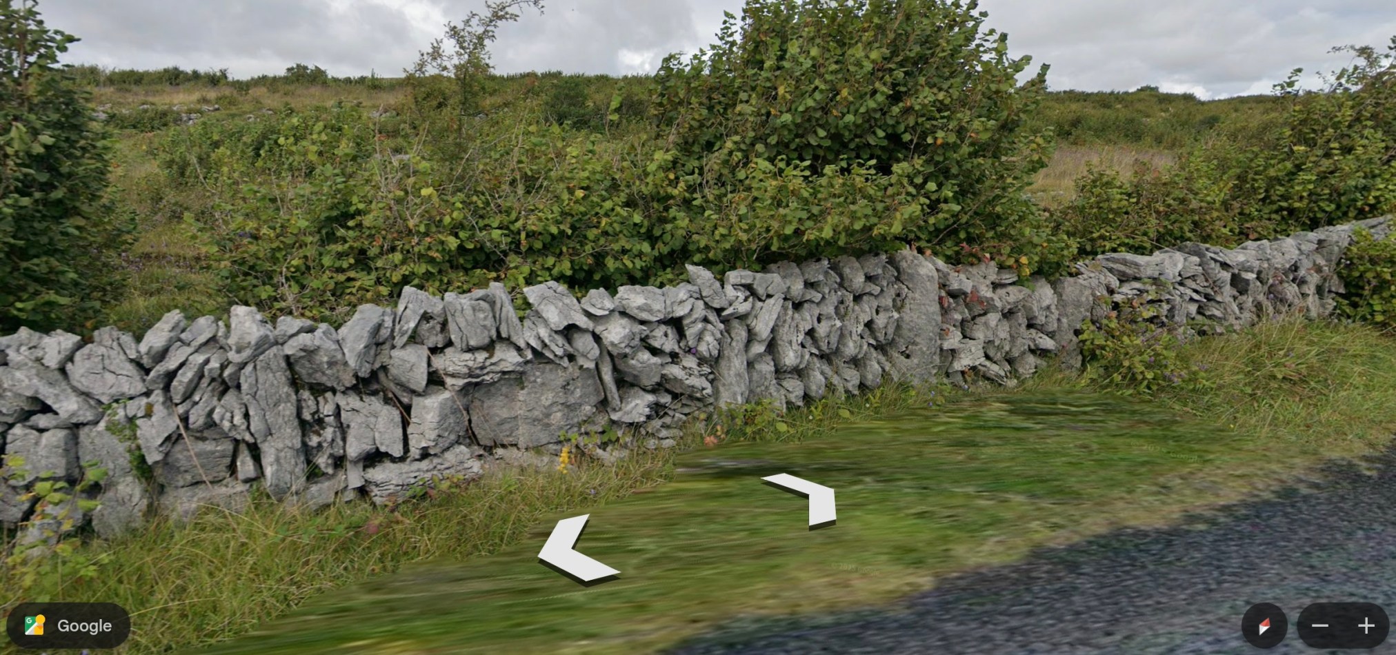
Although there are no Street View roads to follow for much of the Burren Way, there is an image of the green road at one point (Photo Credit: Jacek D). Dry-laid rock fencing lines the road now used as a walking trail and passage for herds of sheep and cattle.
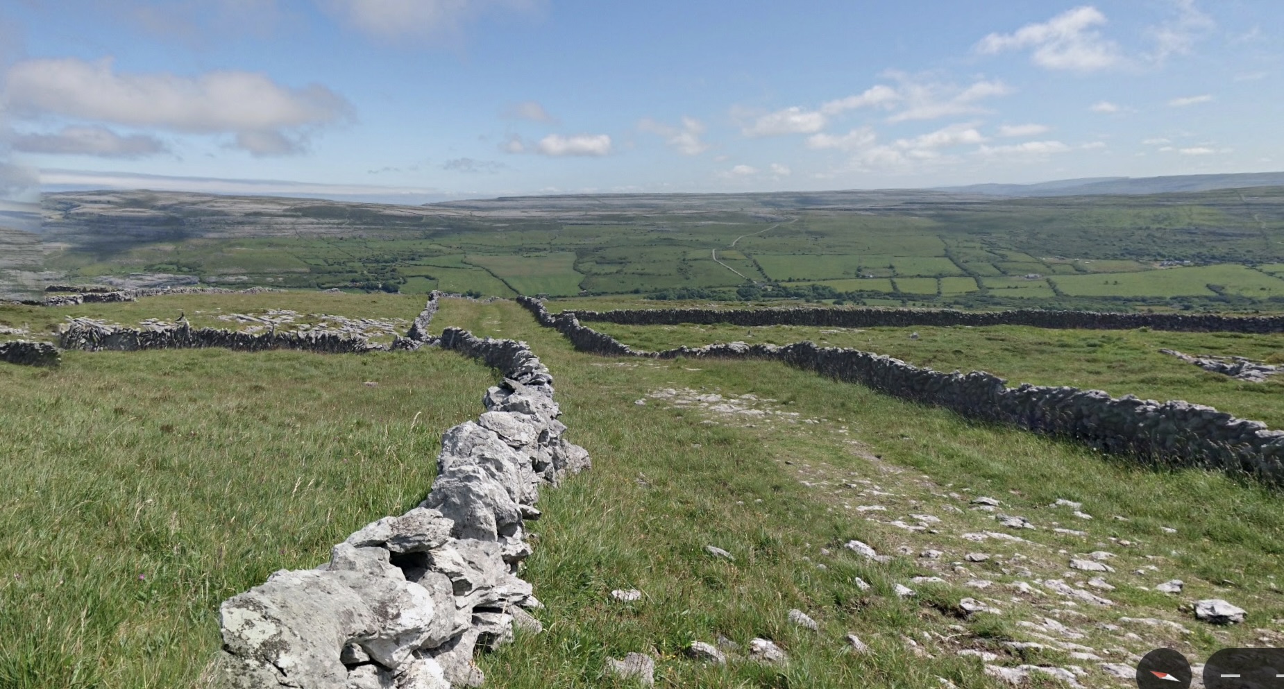
~
At the northeast part of the trail, Street View shows the roadways. Along this part of Burren Way are several church ruins.
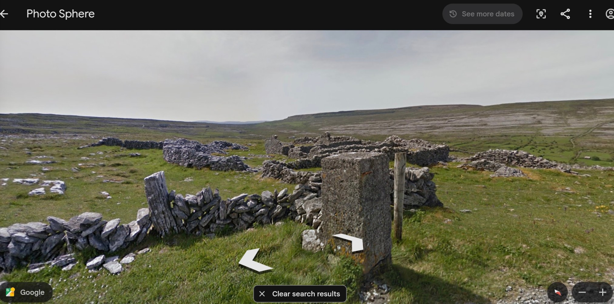
~
In case you think there are no trees to be seen, here is a shot of some of the hedgerow and trees of the deciduous woodland along the northeastern portion of the trail. The hedgerow is composed of spindle, blackthorn and whitethorn.
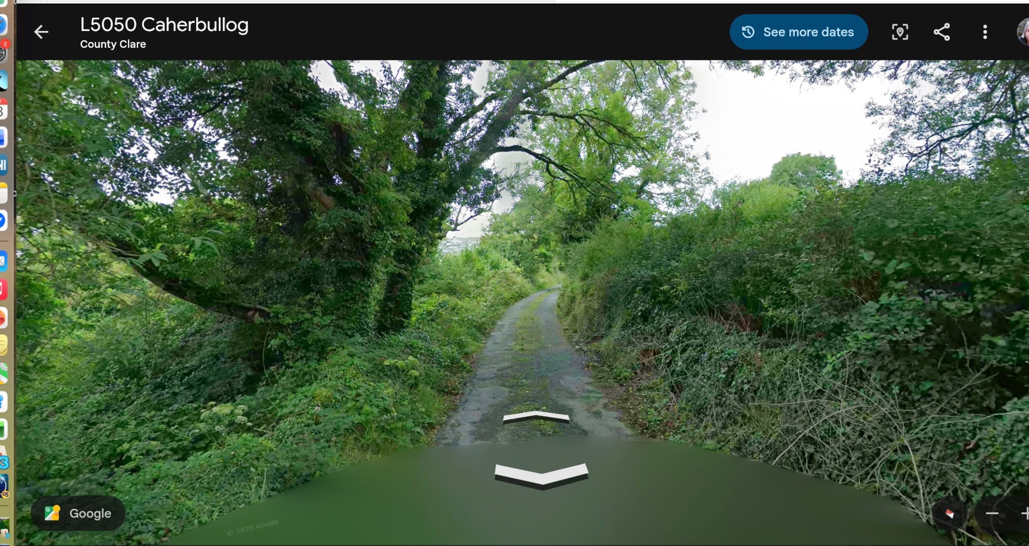
~
As a botanist, I was particularly interested in the vegetation described by the Walking Guide. Some of the plants occurring along the Burren Way include the rare pyramidal bugle and two species of heather (common and bell).
~
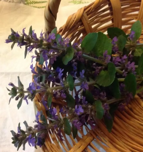
The pyramidal bugle (Ajuga pyramidalis) is a stubby, hairy version of the bugleweed growing in my own front yard. I use the plant as ground cover so I never have to mow the ‘lawn.’ The pyramidal bugle is a very rare native perennial, growing on calcareous soil.
~
~
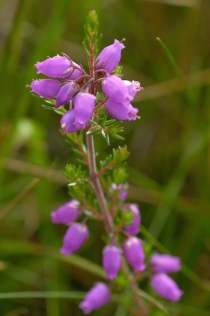
Years ago, I tried to grow the wiry and pink-flowered common heather (Calluna vulgaris) on our property, but although it lasted a few years, it did not stay. Bell heather (Erica cinerea) has magenta-purple flowers and narrow upright stems with narrow, needle-like leaves. Both heathers are woody as they age.
~
I will close this post with a lovely photo of bell heather (Source: wildflowersofireland.net).
~
All my Best,
Jane
A virtual journey to the Burren area of Ireland
Lately, I am aware of being on the computer every time I get a free minute. I have always been a multitasker and, when we watch TV, for example, I usually write, or sew, or play a game on my laptop. Lately I have been wishing for a more relaxing break time.
~
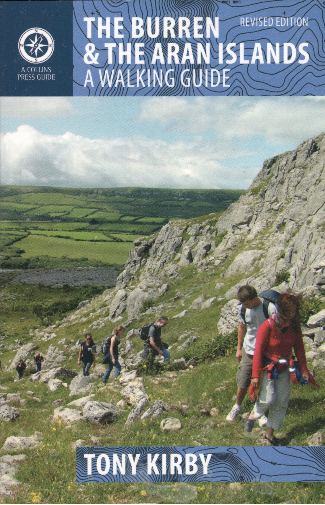
I am a botanist and in my writing life, I have collected many books. Among these has been The Burren & The Aran Islands: A Walking Guide (Tony Kirby, The Collins Press, Cork, 2014). I have never been to Ireland, but some of my ancestors lived there (my Ancestry DNA result indicates I am 4% from Connacht, Ireland, and 1% from Leinster, Ireland) and I am interested in the world they experienced.
~
~
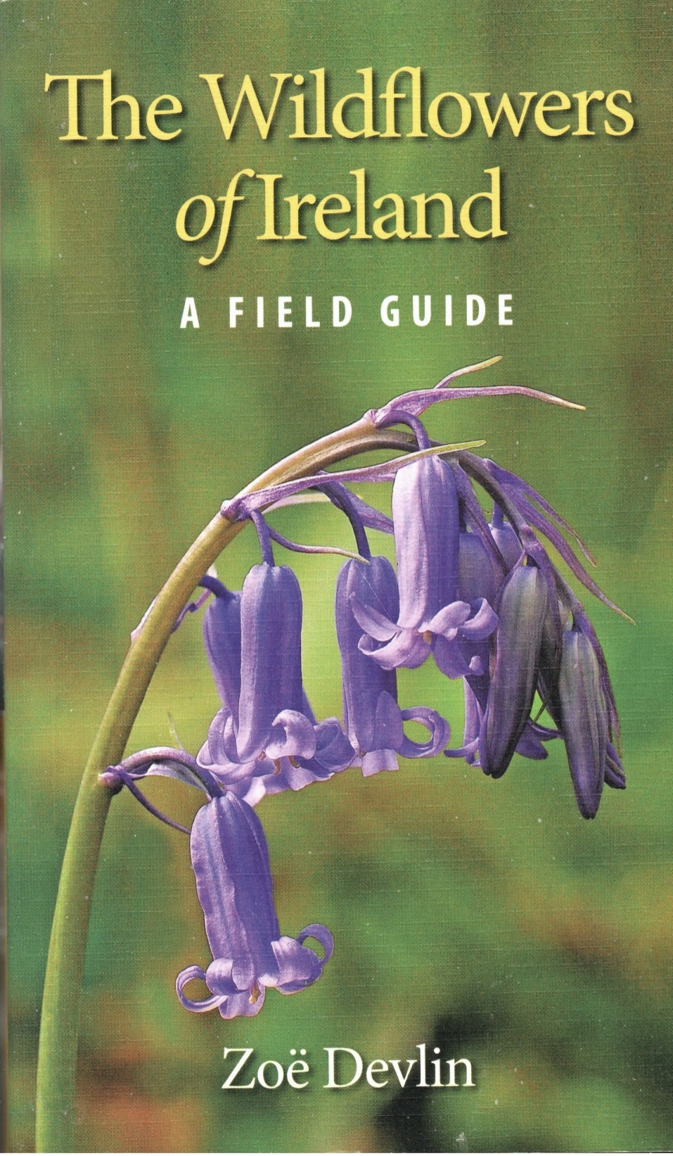
For this reason, I started to read The Walking Guide and quickly realized I was impressed by the geology of the area and the wildflowers found there. I also have a copy of the book The Wildflowers of Ireland: A Field Guide (Zoe Devlin, The Collins Press, Cork, 2018), so I have been able to look at a photo and description of the various species in The Walking Guide.
~
~
I realized as I read, that I would be able to get a better idea of the terrain and landscape on Google Earth‘s ‘Street View.’ Although the specific trails are not always found on Street View, many people have posted photos of parts of the trails. So, here I am, back on the computer!
~
One of the most interesting aspects of this part of Ireland is the limestone pavements. This feature is extensive in the area and is made up of limestone rock. Blocks of the pavement are called glints; between glints are fissures called grikes. The pavements are a feature of Karst topography and were created by sedimentation and glacial erosion.
~
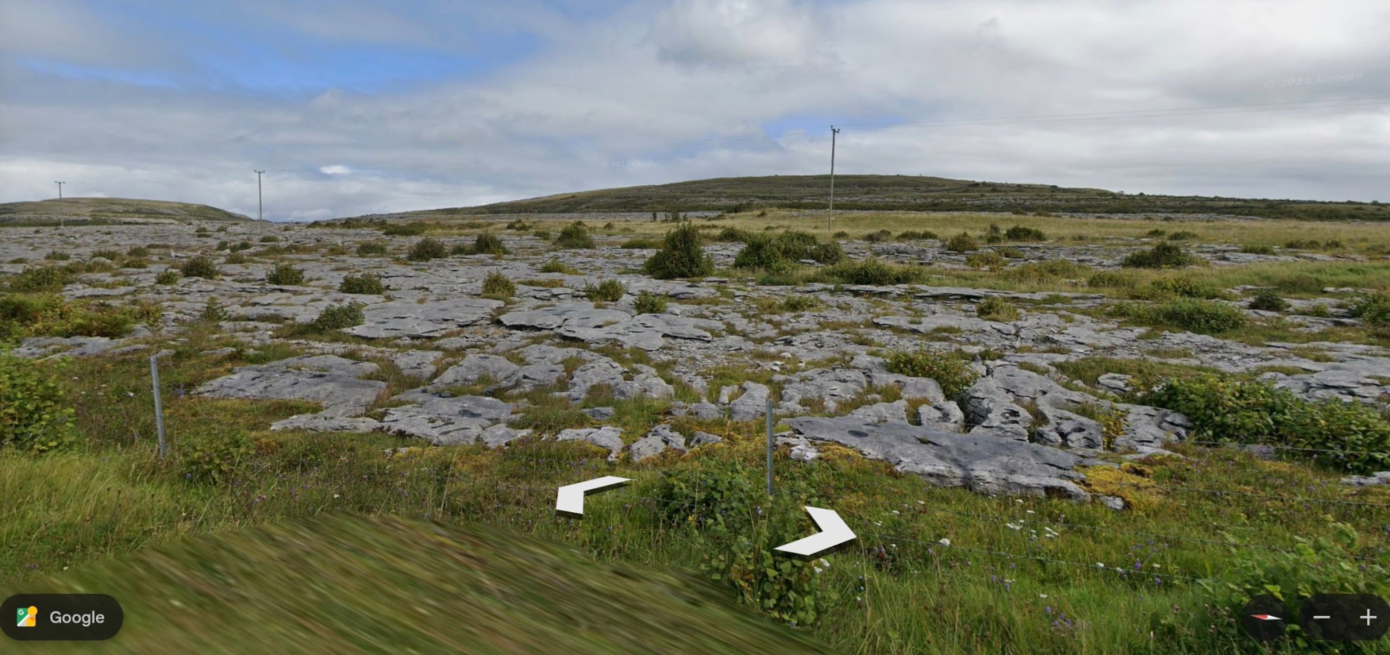
~
Although I know most of the flora of Canada and North America, I am encountering plants I have never seen was well as some I know well. An example of a plant known to me because it grows in our area, is yellow-rattle (Rhinanthus minor). A plant I have never seen is hoary-rockrose (Helianthemum oelandicum ssp. piloseelloides) a plant rare in Ireland. This is a low growing plant with 5-petalled yellow flowers.
~
I will enjoy my virtual walk through the Burren and the Aran Islands of Ireland. I am currently working on Route 5 of The Walking Guide. From time to time, I will post about some of the interesting geology, plants and history I encounter.
~
~
All my best,
Jane
A little genealogy: where my ancestors once lived …
I am interested in the history of my family and I have decided to link that with my exercise program. I am again using my stationary bike to improve my fitness and using Street View (Google Earth) to travel virtually as I cycle. It is a great way to pass time and avoid getting bored with the cycle.
~
I have chosen to ‘travel’ in Scotland since that is where one branch of my family comes from. In the mid-1800s, John Clark and Jane Cooper traveled with their children to Nova Scotia, Canada. They lived in the Insch (Aberdeenshire) area of Scotland and records say that Keig, south of Insch, is a possible birthplace of my three greats-grandfather in about 1799.
~

~
Have a look at my wellness blog to find out more about my exploration of Keig, Scotland …
Enjoy your mini-tour of the roads where my ancestors may once have walked.
All my best,
Jane
gates and gateposts
Looking through my watercolours, I came across the painting below of a gatepost. I painted this during my virtual excursion through Cornwall, using Street View and Google Earth. The painting reminds me of how much fun I had, painting the scenes I discovered on my virtual journey.
~
I am still using Street View to motivate my exercise program – since last year, I have been following the Saint John River from its origins in Quebec and Maine. My goal is to ‘cycle’ the length of the Saint John River, all the way to where it empties into the Bay of Fundy.
~
Gateways mark change. They represent movement from one space to another. They can be entryways. They can also be barriers. The challenge is always to step through that gate and keep on going.
~

Oct. 4, 2013 ‘gate near Feock’ Jane Tims
~
through the gate
~
grey granite cold
black body to
absorb the sun
emit no warm
even lichens
rooted to stone
are barely alive
~
the stone invites
admiration
but curves disguise
the jagged edge
biotite and
muscovite honed
razor thin
~
step forward, through
the gate, ignore
the risk
the path behind
~
~
Copyright 2014 Jane Tims
art auction !
This week begins another Art Auction at Isaac’s Way Restaurant in Fredericton, New Brunswick. For the next 4 months (late January through to late May), Isaac’s Way displays art by local artists and runs a silent auction and sale. This 23rd auction will sponsor MUSIC lessons for Fredericton kids-in-need.
Thank you for your interest in this community fundraiser at Isaac’s Way Restaurant! We organize three auctions per year, each raising funds for one of four artistic areas: dance, art, music, and theatre. This is a win-win-win opportunity for sure: the children gain confidence and creativity, their families feel blessed to have the help, you [the artists] get a chance to display in a public space along with free advertising, the instructors earn more income and word-of-mouth recognition, the community feels good to be helping the kids, customers get local, original art at amazing prices, our wait staff has an excellent conversation starter with visitors, and our restaurant gets a colourful face lift three times per year. Everyone wins!
In this 23rd Art Auction, Isaac’s Way will be displaying the work of more than 50 artists.
~
I have a painting in the auction, an acrylic entitled ‘blue stone’ (24″ x 20″, unframed, gallery edges). It is a version of a watercolour done during my virtual cycling trip along the Cornwall coast.
~
Here is the watercolour, ‘blue stone’ …
~

October 25, 2013 ‘blue stone’ Jane Tims
~
And the acrylic, now for sale or auction at Isaac’s Way …
~

blue stone (Jane Tims)
~
This will be the forth painting I have contributed to the auction: ‘blue stone’ (acrylic), ‘iron gate in Cornwall’ (acrylic), ‘gate in Ponsanooth’ (watercolour), and ‘rainbow gate’ (watercolour).
~
If you are in the Fredericton area, I hope you stop in at Isaac’s Way. The food is delicious, the atmosphere is inspiring and you have a chance to acquire a piece of art by a local artist! The restaurant is located in the historic York County Court House (est. 1855), so you can even dine inside the former vault!
~
Copyright 2015 Jane Tims
glimpses of country life – drying day
For the last two weeks, I have continued on my stationary bike, touring (virtually) through the Cornwall countryside. Since I last reported, I have gone from Rinsey Croft to the coastal town of Prussia Cove. Since the road does not run along the coast, I have spent most of my biking miles travelling on short roads from the highway to various coastal towns. In this stretch, I biked for 150 minutes, and saw about 9 km of the Cornwall countryside.
~

~
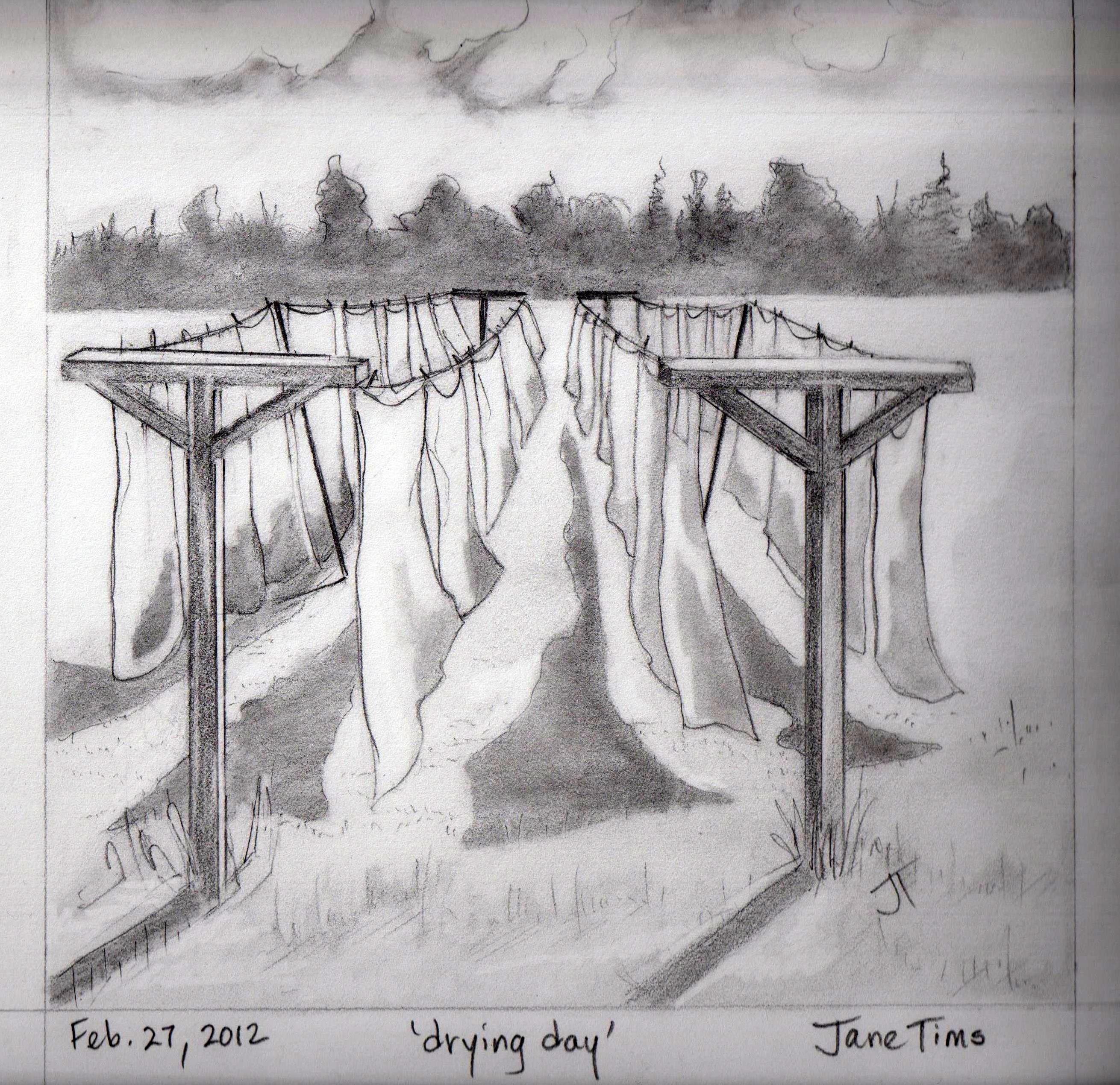
As I bike, I love seeing the vignettes of country life captured by Street View. Gates, of course, and stone walls. Cows and horses grazing in the meadows. People hiking along the roads and working in their gardens. And a line of washing, hung out on the line to dry.
~
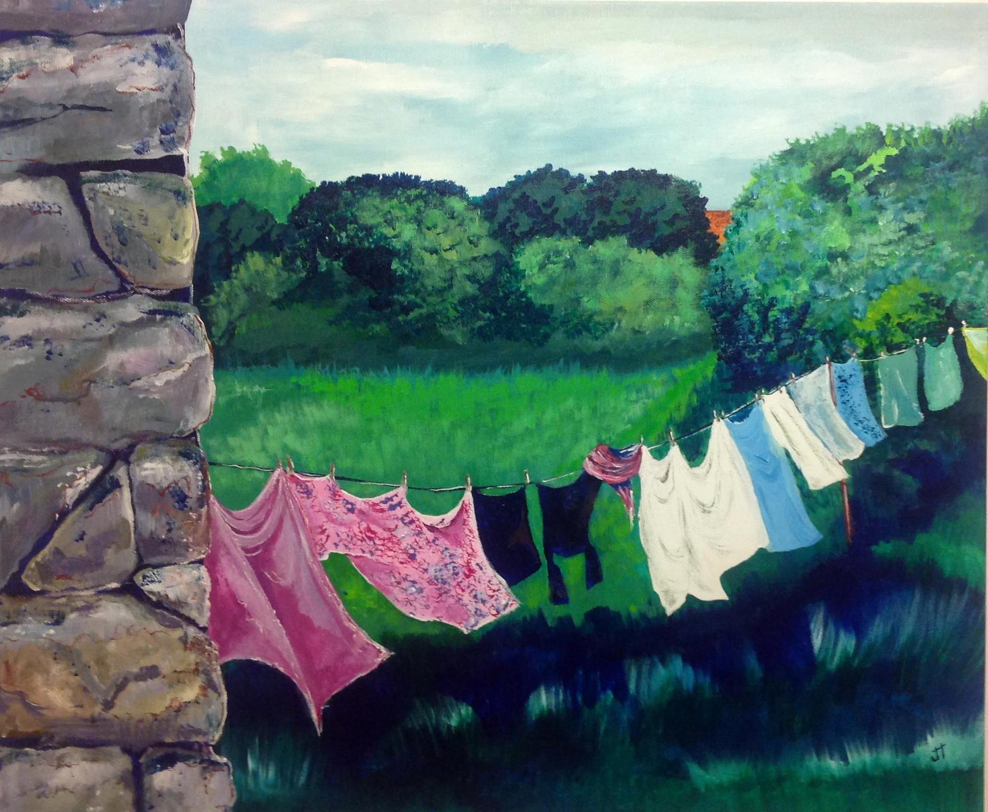
September 7, 2014 ‘drying day’ acrylic 20 X 24 Jane Tims
~
Reminds me of home.
~
~
Copyright 2014 Jane Tims
fortification against the sea
On the second day of my virtual biking last week, I toured Porthleven, a large town along the Cornwall coast. Street View had done its image-taking on a clear day, but the steep cliffs along the ocean made me ponder what it might be like to stand on this exposed coast in a storm.
~
I wondered why so many foundations along the cliff side of the street were abandoned. One of the foundations enclosed what might be a giant chess board!
~

abandoned foundations along the coast at Porthleven (image from Street View)
~
Then I had a first glimpse of the seawall and signs warning sightseers to beware …
~
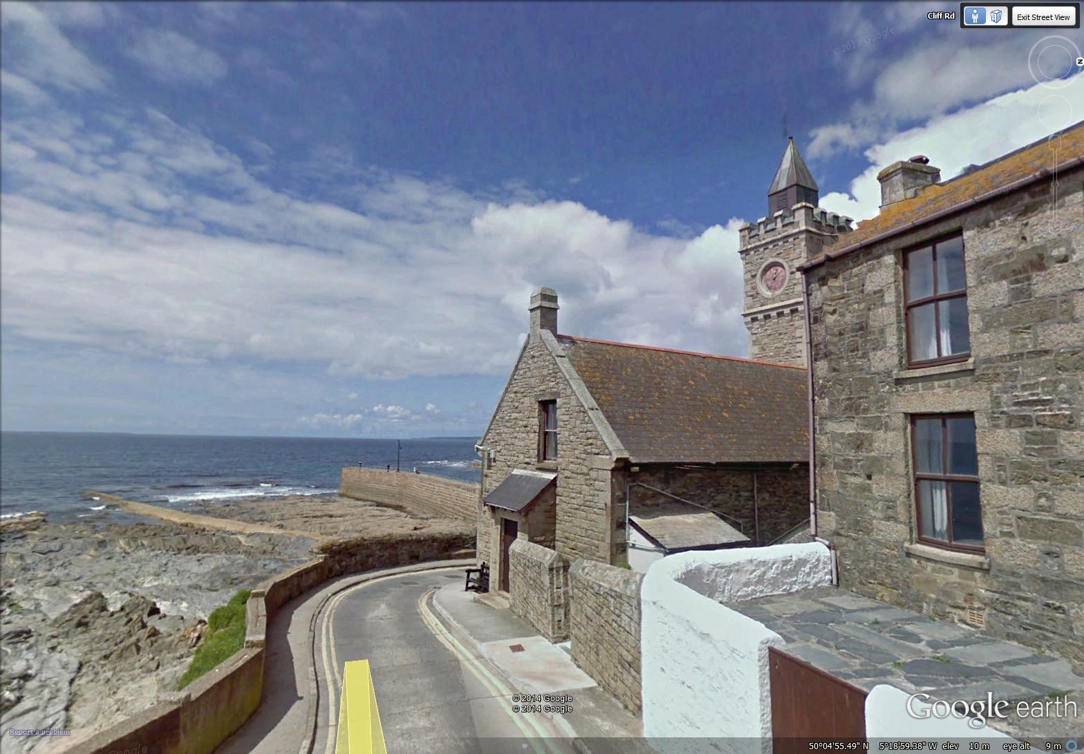
seawall and clock tower at Porthleven (image from Street View)
~
The harbour itself is a maze of thick, high walls and the piers of a now absent bridge …
~
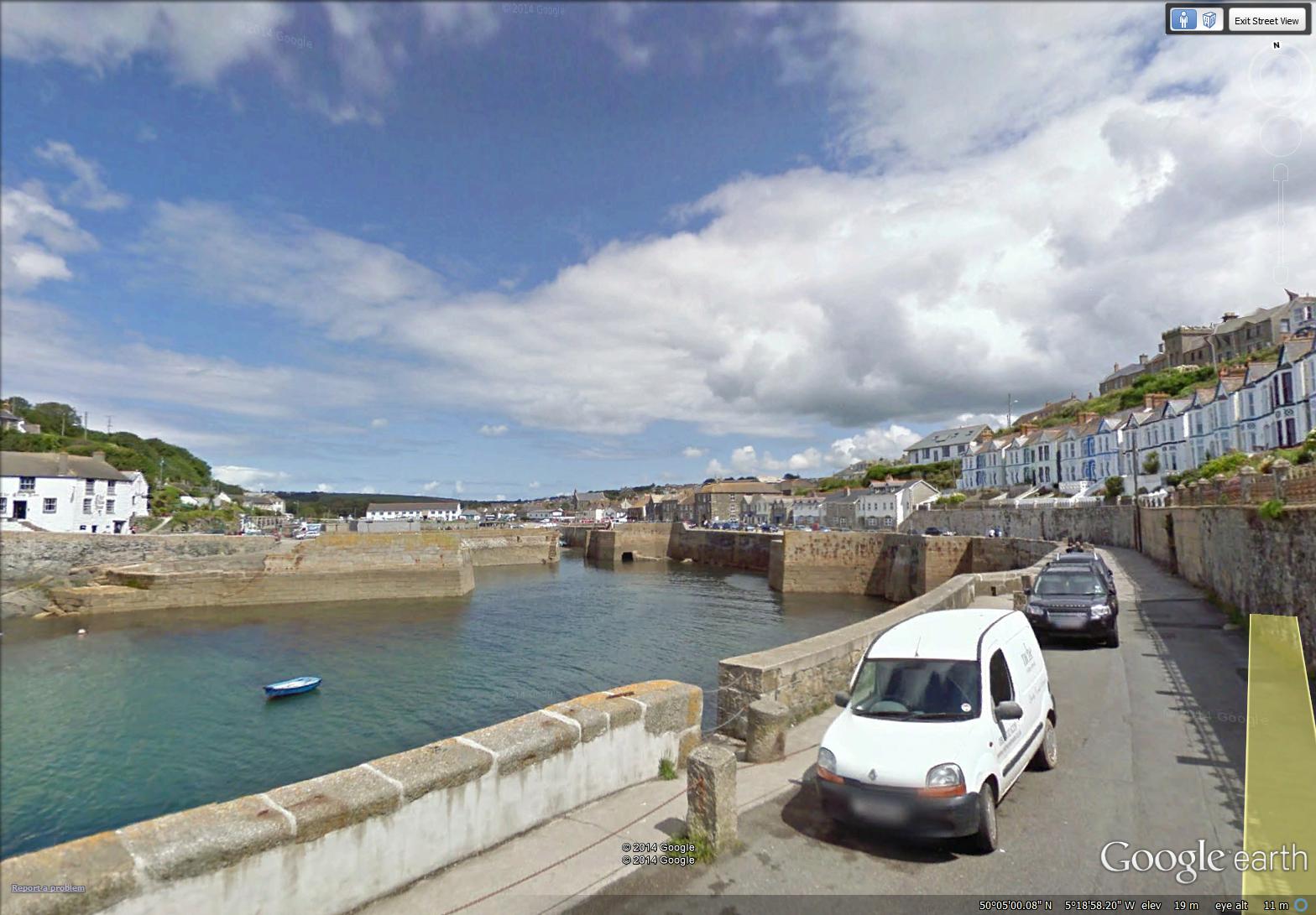
the fortified harbour of Porthleven (image from Street View)
~
A little searching on the internet found a dramatic photo (credit: Annabel May Oakley-Watson/REX) of the clock tower in the first image above, during a coastal storm … (‘Should Coastal Britain Surrender to the Tides?’, Patrick Barkham, The Guardian, February 7, 2014). http://www.theguardian.com/environment/2014/feb/07/should-coastal-britain-surrender-to-tide
~
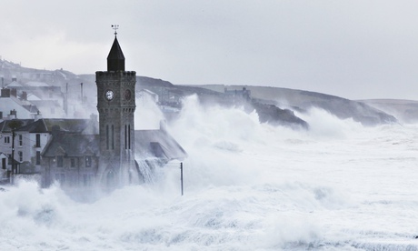
(photo credit: Annabel May Oakley-Watson/REX)
~
~
Copyright 2014 Jane Tims
along the pond
On my stationary bike last week, I travelled (virtually) along the Cornwall coast from the mouth of Loe Pond to Rinsey. During the week, I biked for 90 minutes, and saw 11 km of the Cornwall countryside.
~
The first day took me from the mouth of ‘The Loe’, along the pond to just west of Porthleven, in Shadywalk Wood.
~

from the beach at the mouth of Loe Pond to Shadywalk Wood (map from Google Earth)
~
The beach is a wide crescent of endless sand …
~
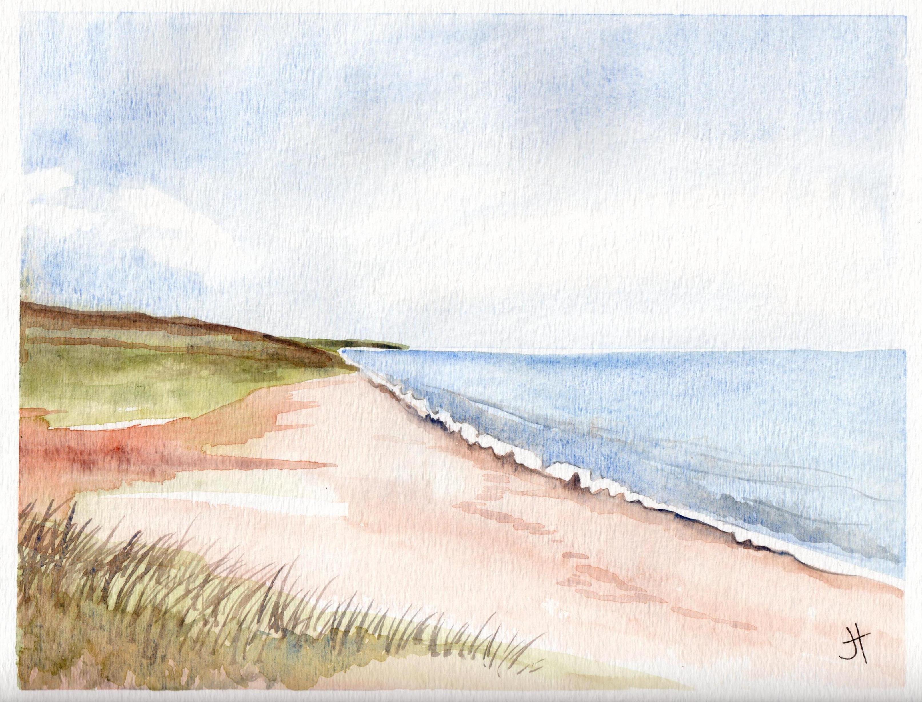
August 16, 2014 ‘beach at Loe’ Jane Tims
~
The path along ‘The Loe’ is narrow, tree-lined and shady. I saw lots of hikers and fellow bikers, but not a single car.
~

a typical part of the path along ‘The Loe’ (image from Street View)
~

August 16, 2014 ‘along Loe Pond’ Jane Tims
~
Biking along a shady lane, with no worries about traffic, thick ferny woods to one side and the sparkle of a pond on the other … a lovely way to ponder the days of summer …
~
Copyright 2014 Jane Tims
a return to Cornwall and its gates
I am back on my virtual bike trip along the coast of Cornwall. This week I have travelled 9 km from Predannack Wollas to Loe Pool for a total stationary cycling time of 75 minutes.
~
I have missed the Cornwall scenes of hedgerows and meadows, stone houses and seaside quays. Mostly I have missed seeing the gates, so it is no surprise my first watercolour for this phase of my journey is the stone pillar to a private gate.
~
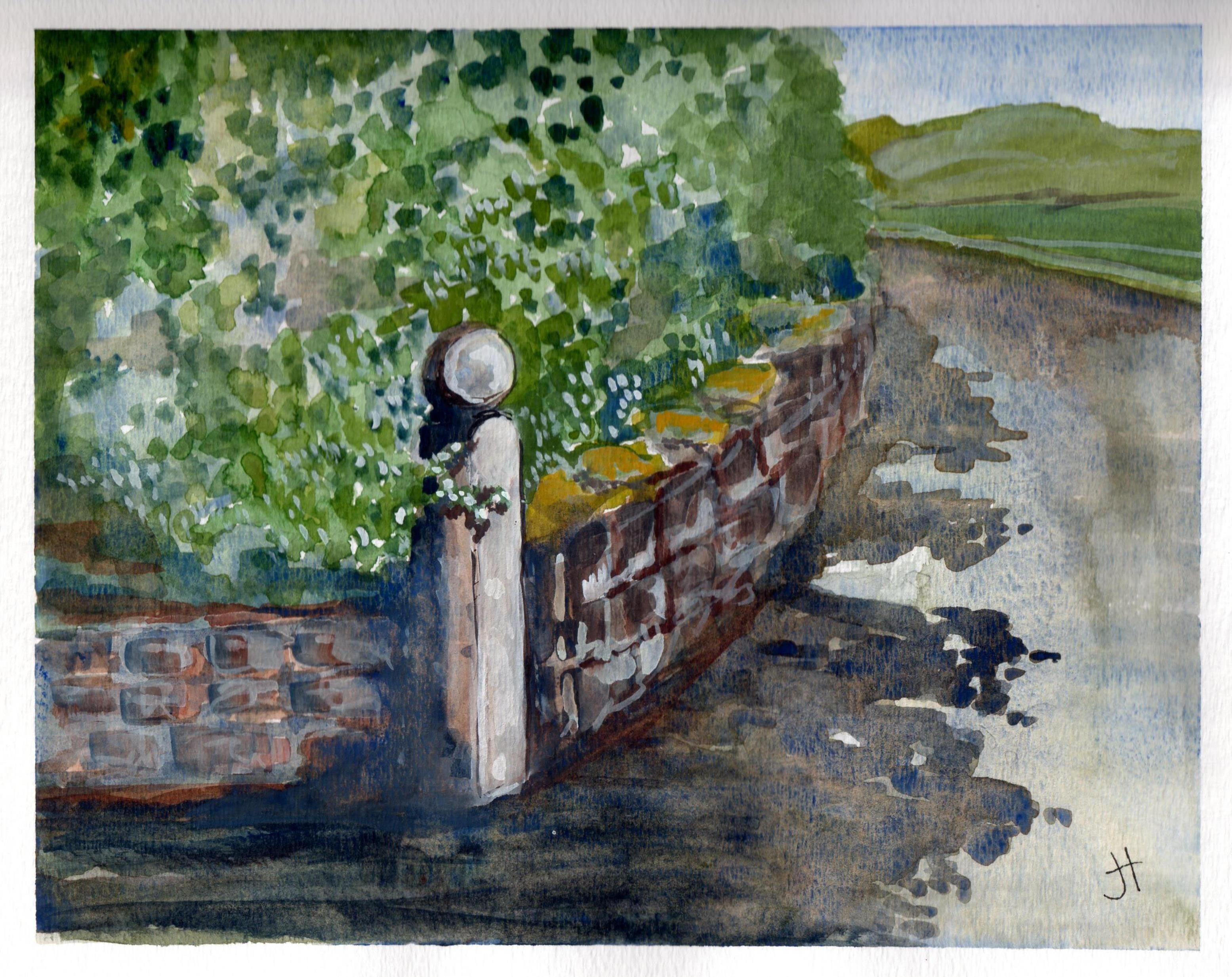
August 12, 2014 ‘stone post’ Jane Tims
~
Copyright 2014 Jane Tims