Posts Tagged ‘Ireland’
Virtual hike along the Caher Valley Loop, Burren, Ireland
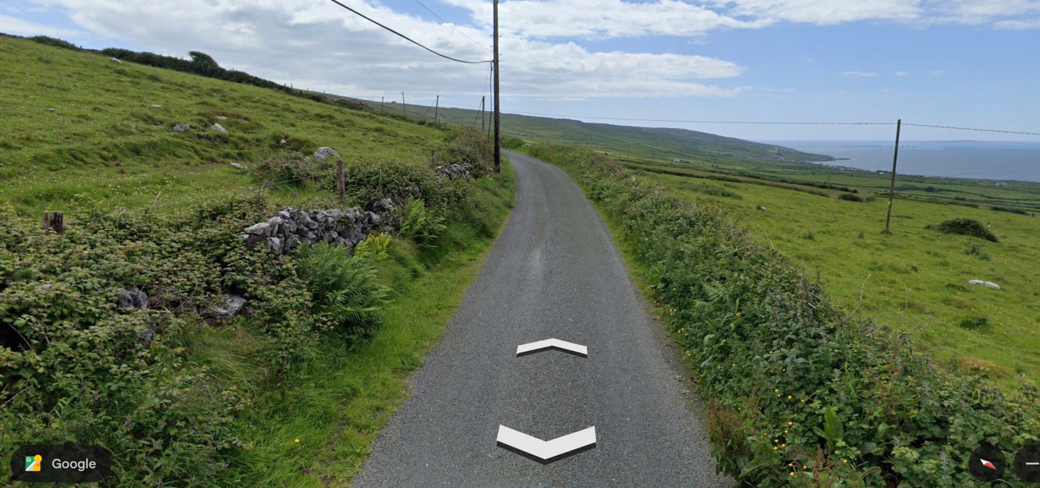
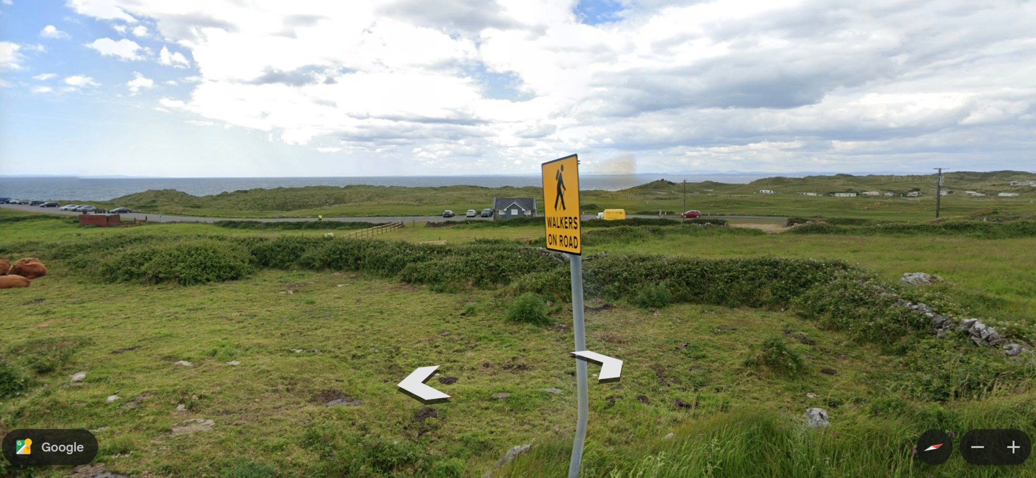
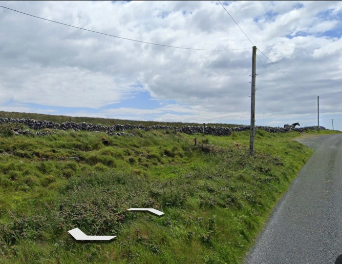
The Caher Valley Loop is a shorter trail (14.5 km), in the same area as the Burren Way (my recent post) and follows, in part, the same ‘green road.’ The trail begins along a main road, the Bôthar Leaca (translates to Flaggy Road). This climbs a hill and the ocean is visible to the right. The trail is included as Route 6 in Tony Kirby’s The Burren & the Aran Islands: A Walking Guide.
~
~
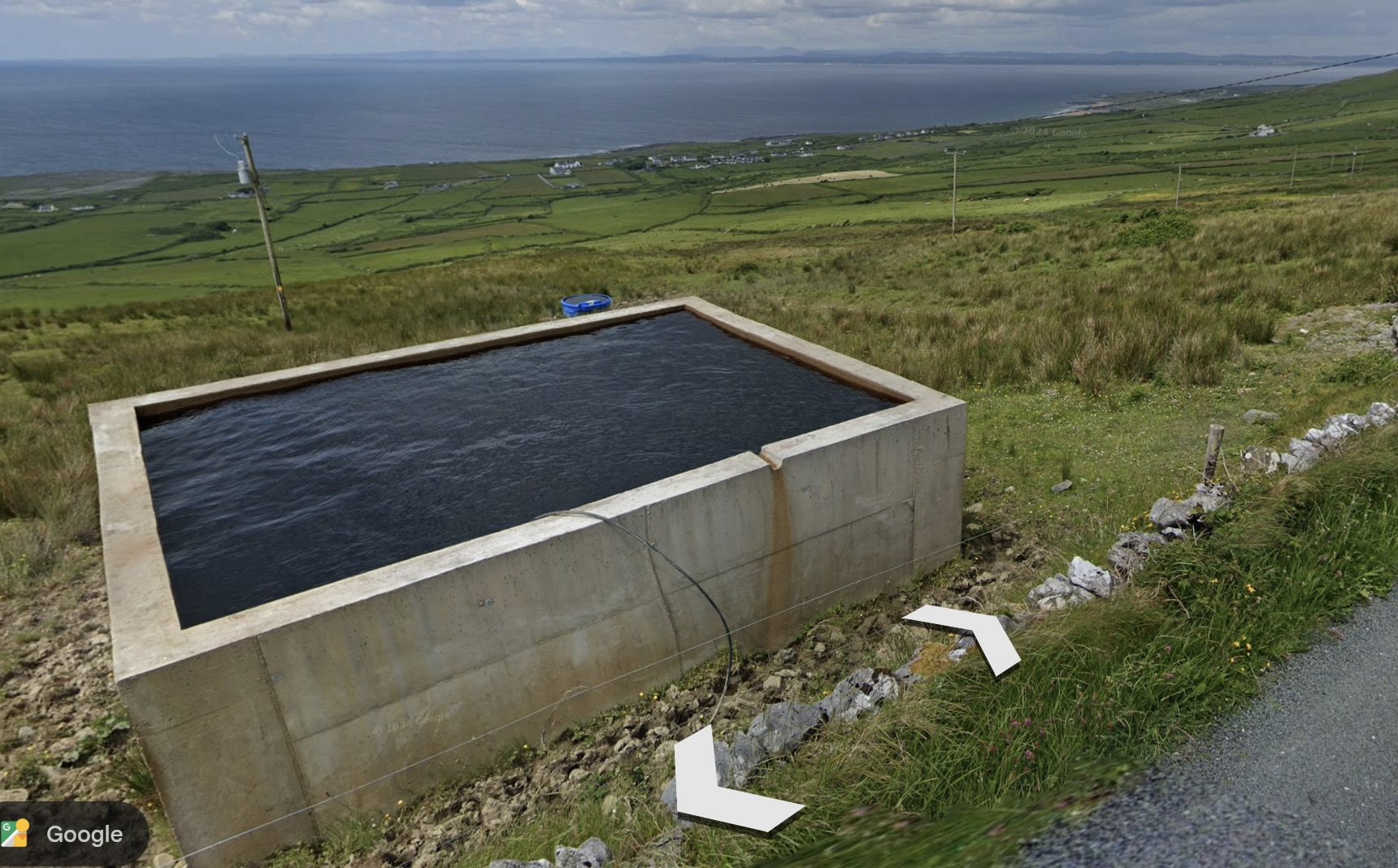
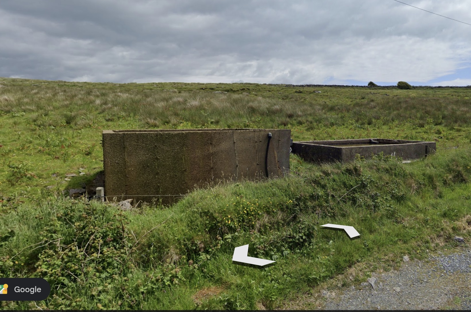
I was puzzled by a couple of structures along the road. My husband says these are cisterns or reservoirs for livestock water, fed by underground springs and streams.
~
~
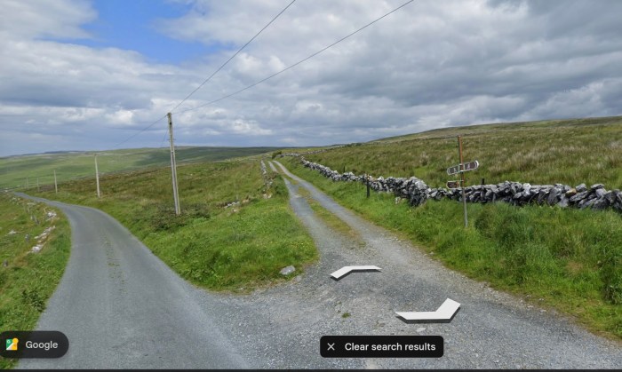
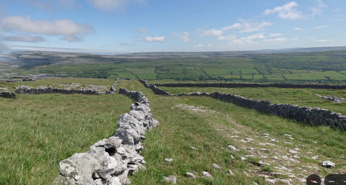
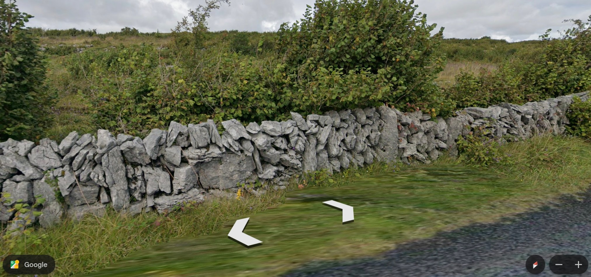
Where I met the horse on my virtual hike of the Burren Way, the trail takes a left across the same ‘green road.’ The ‘green roads’ are usually lined with stone walls and are used for livestock or hiking.
~
~
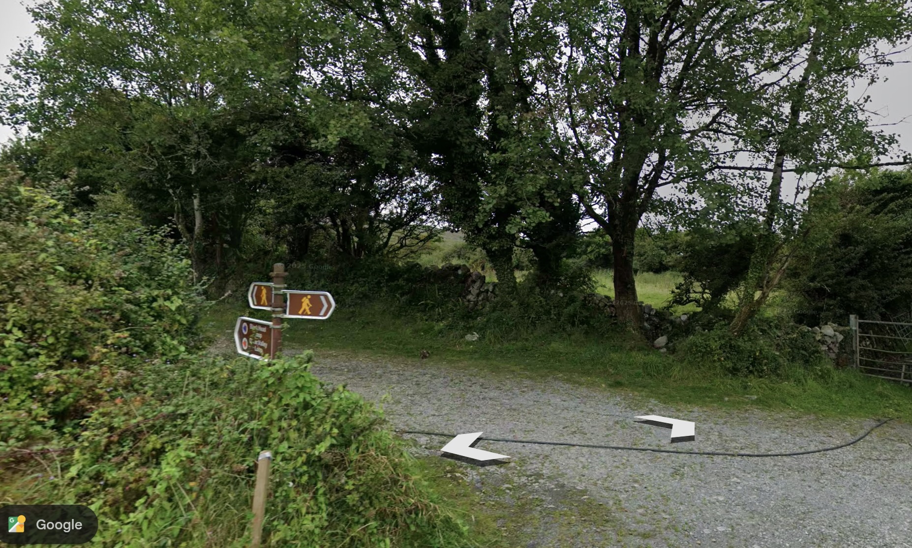
The Caher Valley Loop continues where the ‘green road’ exits to a Street View road and the trail proceeds all the way to the ocean.
~
~
The issue of water seemed to dominate the trail. It follows the Caher River, a narrow stream, the only surface river in the area. Otherwise, water moves underground or surfaces only intermittently. This is because the limestone bedrock allows water to percolate away from the surface. The Caher River exists because of its unusual, impermeable clay riverbed. The trail crosses a couple of bridges and then leads downward to the ocean.
~
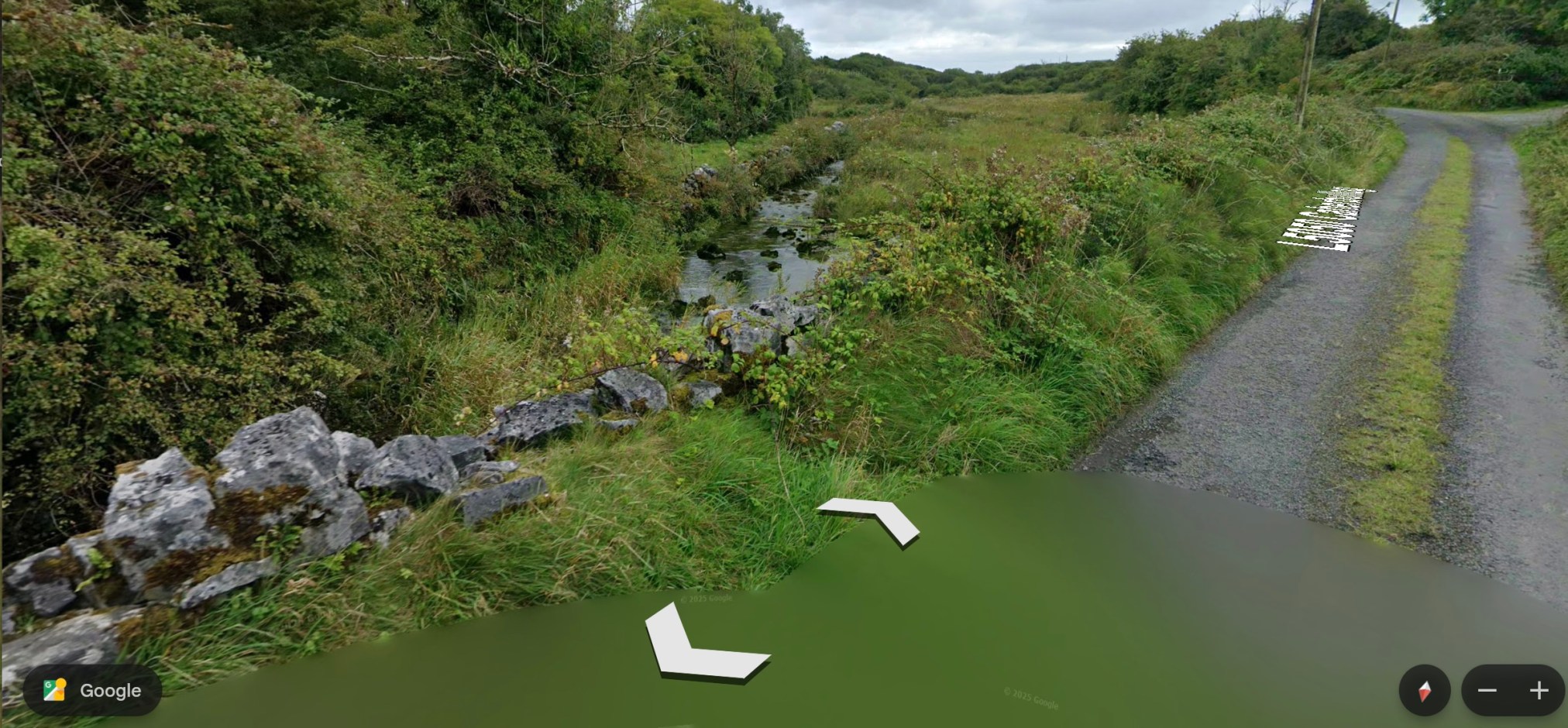
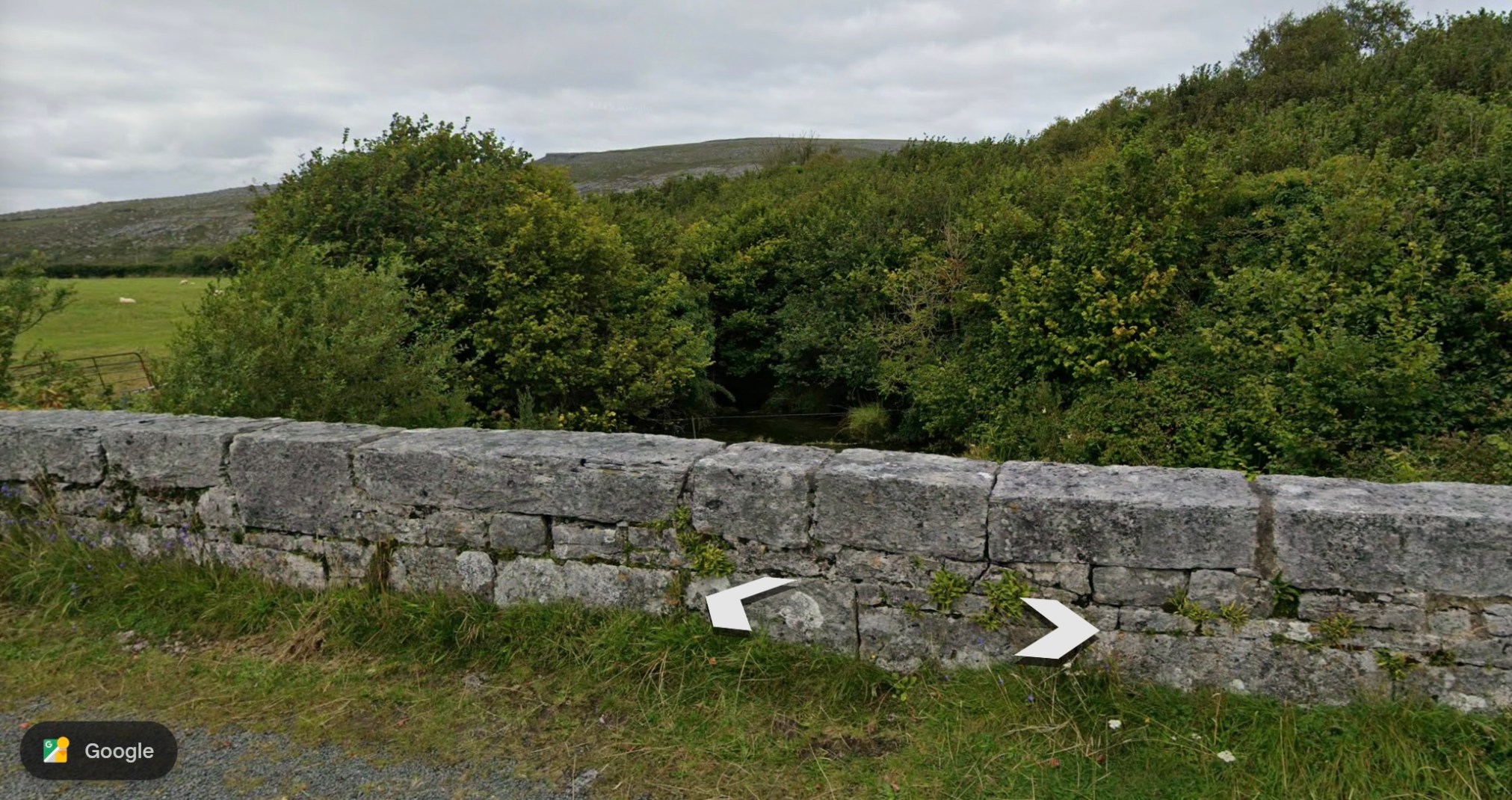
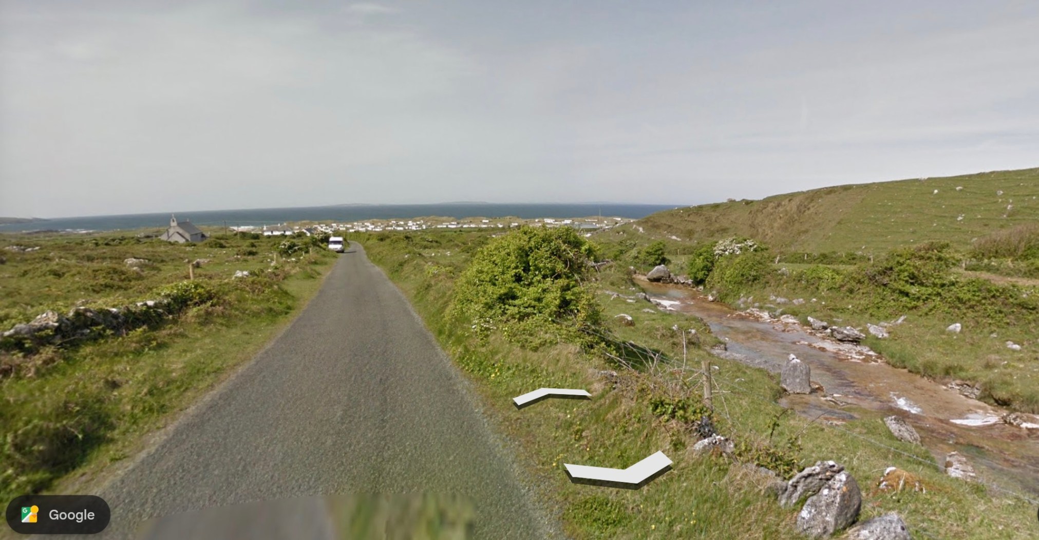
~
The terrain is very different from what I am used to—the surface soil is known to move over the limestone substrate, making it unsuitable for agriculture other than pasture. In the photos of the river, you can see the evidence of soil movement in the ‘waves’ of mobile ground and the shallow, eroding soil above the limestone.
~
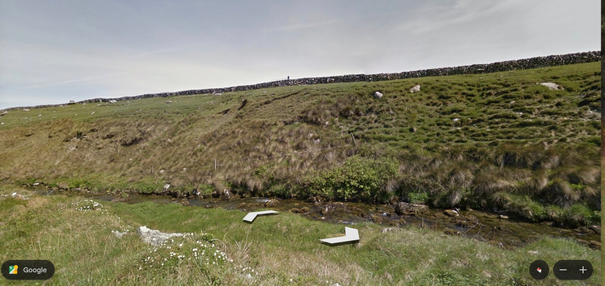
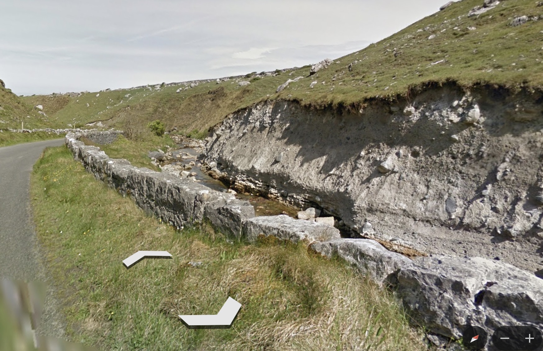
~
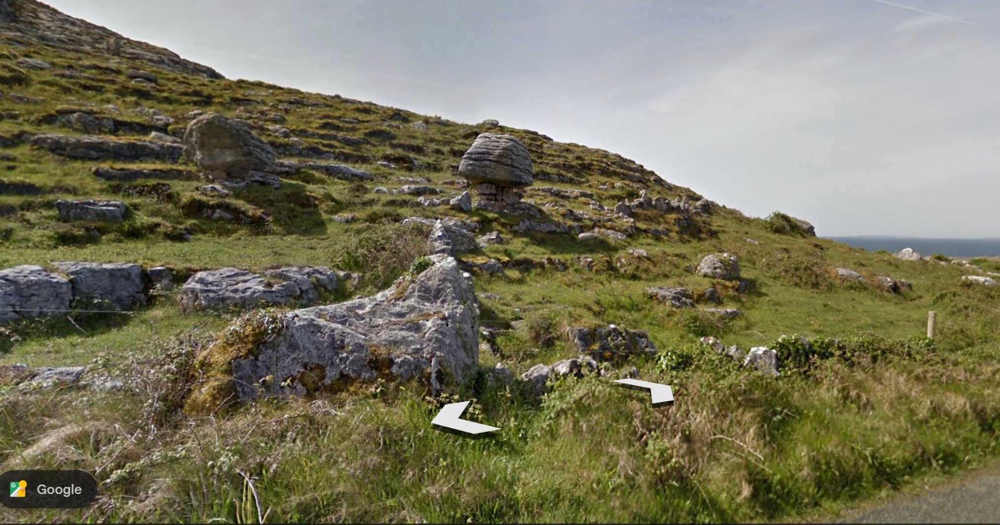
To end my virtual journey, I’ll show a photo of the local terrain and a particularly interesting ‘balancing rock’ (Source:Google Earth).
~
~
All my best,
Jane
A virtual journey to the Burren area of Ireland
Lately, I am aware of being on the computer every time I get a free minute. I have always been a multitasker and, when we watch TV, for example, I usually write, or sew, or play a game on my laptop. Lately I have been wishing for a more relaxing break time.
~
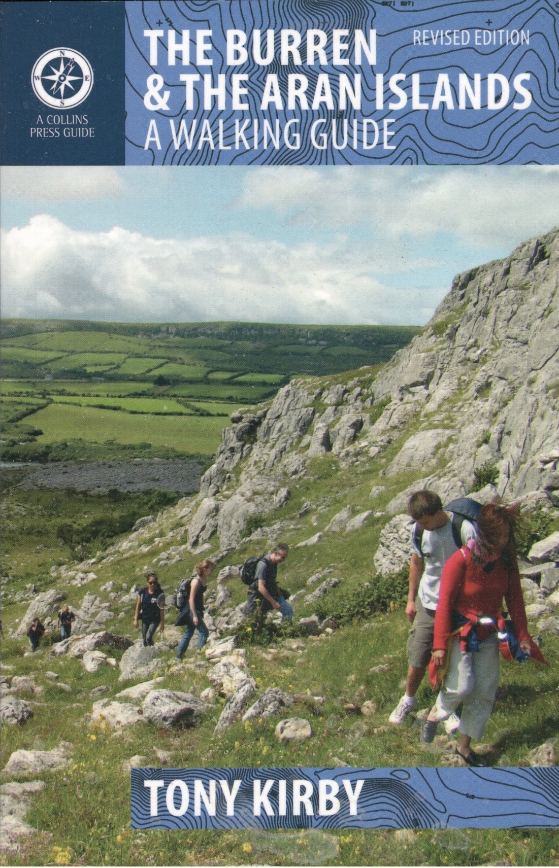
I am a botanist and in my writing life, I have collected many books. Among these has been The Burren & The Aran Islands: A Walking Guide (Tony Kirby, The Collins Press, Cork, 2014). I have never been to Ireland, but some of my ancestors lived there (my Ancestry DNA result indicates I am 4% from Connacht, Ireland, and 1% from Leinster, Ireland) and I am interested in the world they experienced.
~
~
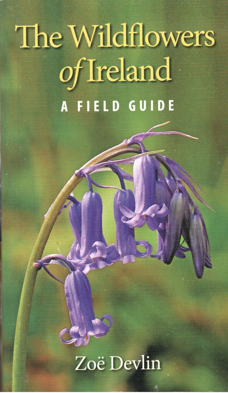
For this reason, I started to read The Walking Guide and quickly realized I was impressed by the geology of the area and the wildflowers found there. I also have a copy of the book The Wildflowers of Ireland: A Field Guide (Zoe Devlin, The Collins Press, Cork, 2018), so I have been able to look at a photo and description of the various species in The Walking Guide.
~
~
I realized as I read, that I would be able to get a better idea of the terrain and landscape on Google Earth‘s ‘Street View.’ Although the specific trails are not always found on Street View, many people have posted photos of parts of the trails. So, here I am, back on the computer!
~
One of the most interesting aspects of this part of Ireland is the limestone pavements. This feature is extensive in the area and is made up of limestone rock. Blocks of the pavement are called glints; between glints are fissures called grikes. The pavements are a feature of Karst topography and were created by sedimentation and glacial erosion.
~
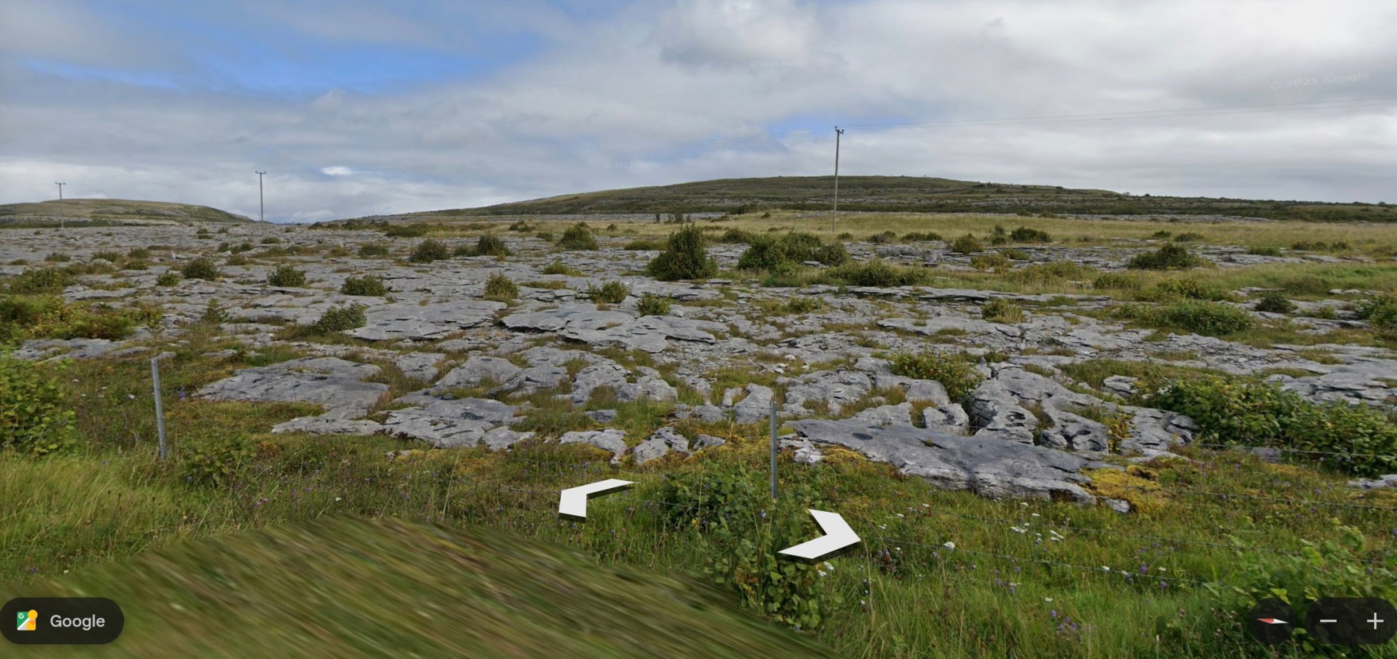
~
Although I know most of the flora of Canada and North America, I am encountering plants I have never seen was well as some I know well. An example of a plant known to me because it grows in our area, is yellow-rattle (Rhinanthus minor). A plant I have never seen is hoary-rockrose (Helianthemum oelandicum ssp. piloseelloides) a plant rare in Ireland. This is a low growing plant with 5-petalled yellow flowers.
~
I will enjoy my virtual walk through the Burren and the Aran Islands of Ireland. I am currently working on Route 5 of The Walking Guide. From time to time, I will post about some of the interesting geology, plants and history I encounter.
~
~
All my best,
Jane
another virtual bike ride … Ireland
Those of you who follow my blog may remember my virtual bike trips across France, along the Cornwall coast and in northern New Brunswick. I have decided to go virtual travelling again … along the southern coast of Ireland. According to my DNA, some of my ancestors were Irish so this will take me to my roots!
~

~
My virtual trip will be incentive to exercise on my stationary bike. While I am on the bike, I click along my ‘path’ using Street View of Google Earth. With the various tools in Google Earth I can plot my journey, measure the ‘distance’ I have travelled, and take some photos along the way. I began my journey on September 4, 2017 and you can follow along if you like, by following my other website http://www.alexandra128.wordpress.com
~

Hi. I would love you to have a look at my wellness blog http://www.alexandra128.wordpress.com
~
Best wishes
Alexandra (a.k.a. Jane)

The beginning of my trip, near Donegall West, Cork County, Ireland