my virtual bike trip through central France – a summary
In early 2013, I decided to take a new approach to exercise. To make my stationary cycling more interesting, I decided to take a virtual bike trip, using Street View in Google Earth, through central France.
~
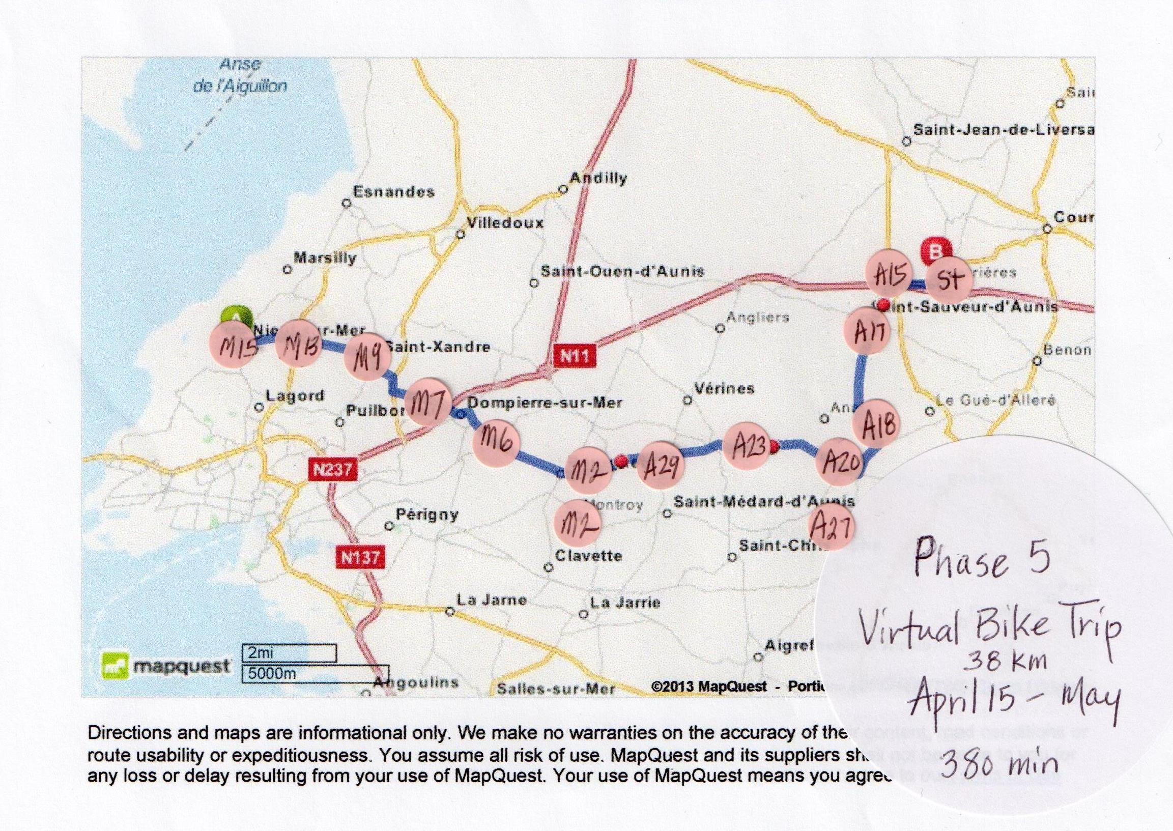
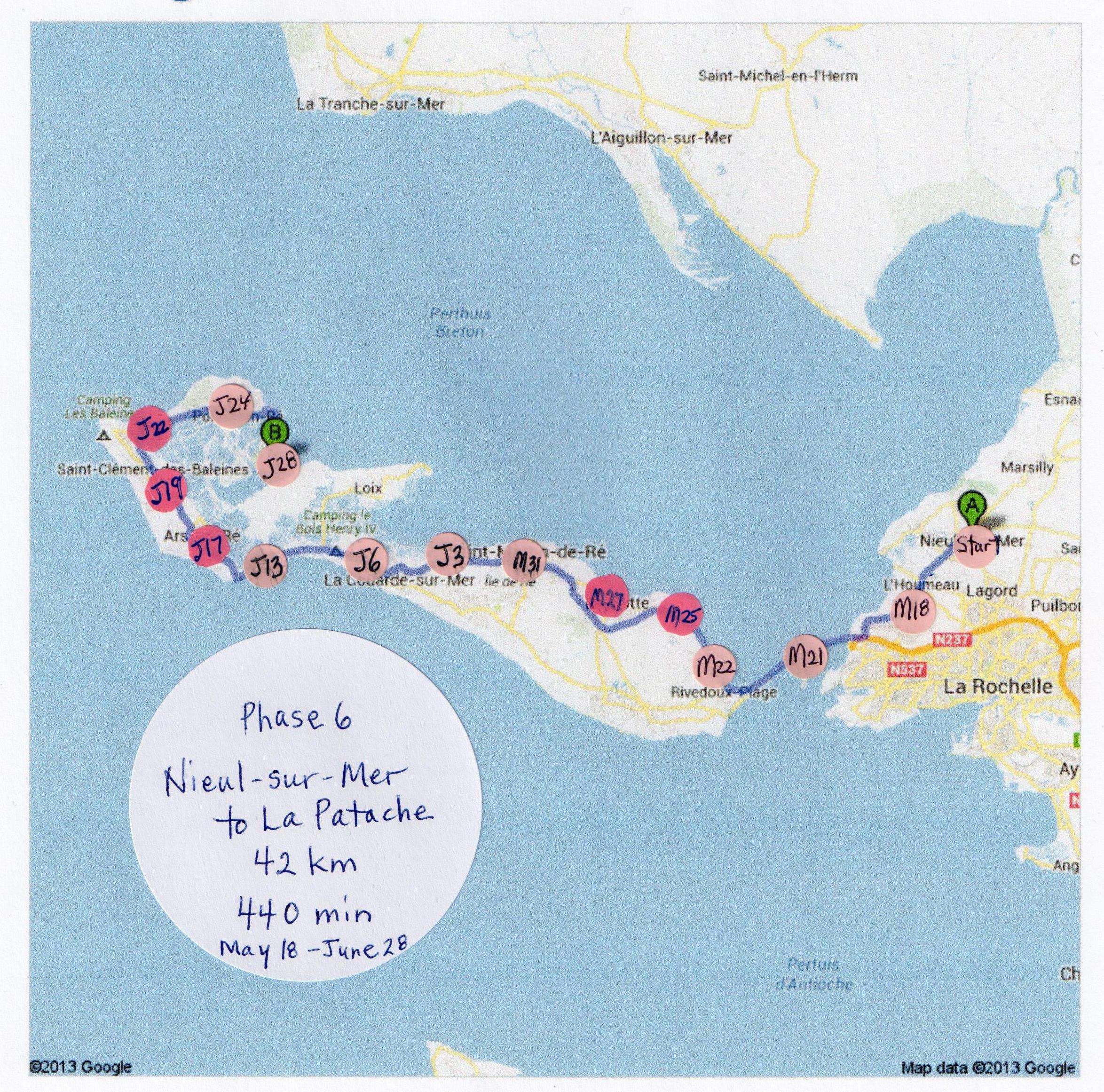
The maps below show the route I followed, from Lusignan, France to La Patache, France. I did the trip in six phases, lasting in total from January 30 to June 28, 2013 (about five months). In total, I biked for 196.8 km and 1975 minutes.
~
For a look at some of the drawings and watercolors I did while on my virtual trip, please have a look at my galleries.
~
Although I didn’t lose any weight during this block of exercise, my blood pressure decreased significantly, as did my blood cholesterol. I also have more stamina and energy.
~
For a day by day description of my adventure, have a look under the category ‘my exercise plan’.
~

~

~

~

~
~
 ~
~
Copyright 2013 Jane Tims


I'd love to hear what you think...