Posts Tagged ‘stationary cycling’
virtual travel: Everton to Beckingham
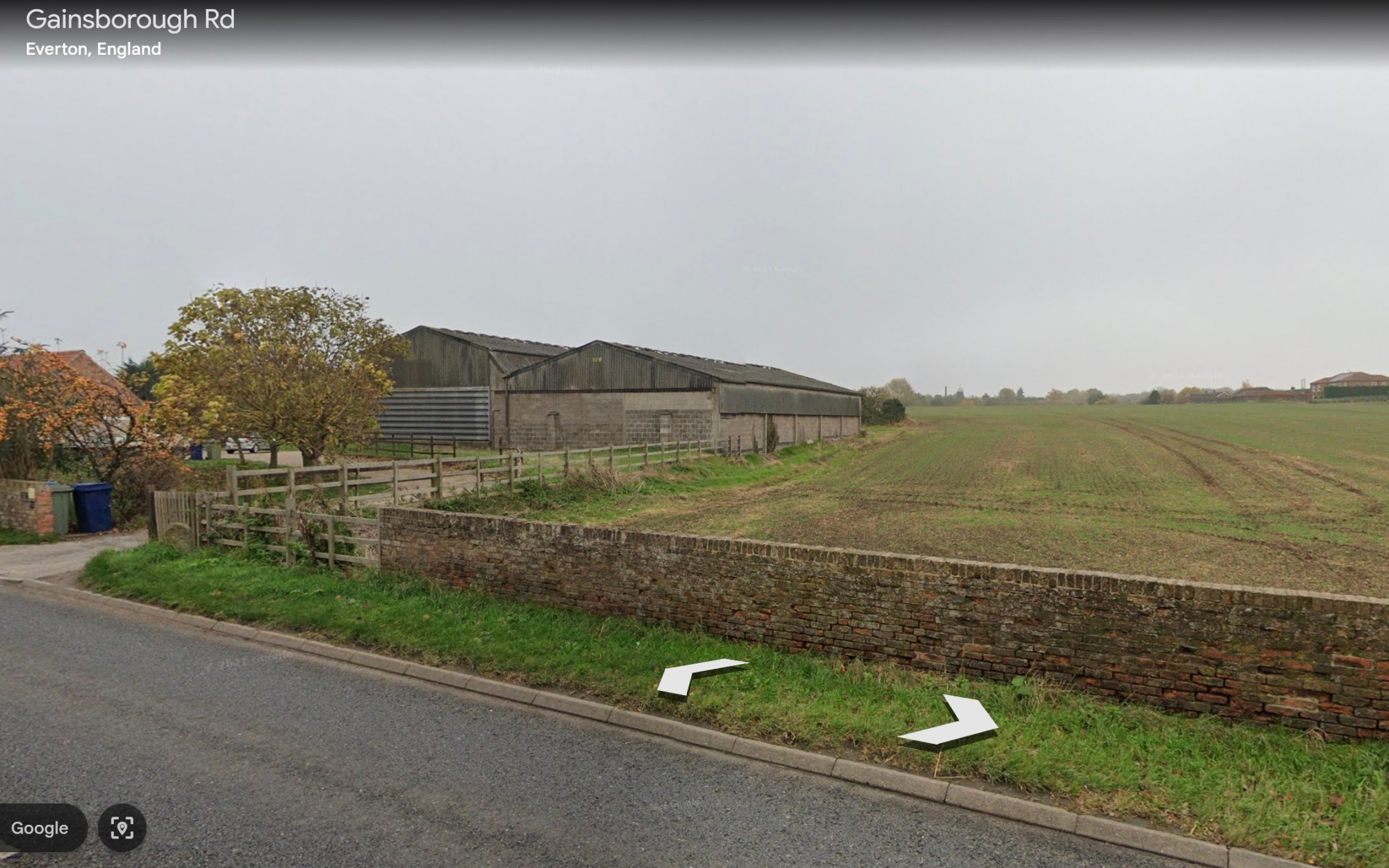
The next stretch of my virtual cycling program (to visit the villages and towns of my ‘Spavold’ ancestors) took me from Everton in Nottinghamshire, to Clayworth, to Beckingham.
~

~
| Date | From | To | Distance | Time |
| November 4 | Everton | Clayworth | 5 km | 20 minutes |
| November 5 | Clayworth | Gringly on the Hill | 4 km | 18 minutes |
| November 6 | Gringly on the Hill | Beckingham | 6 km | 20 minutes |
~
~
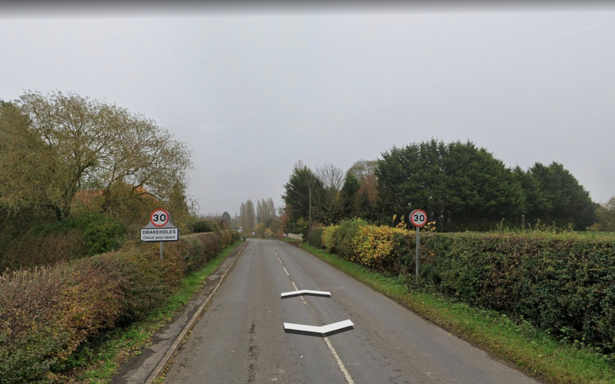
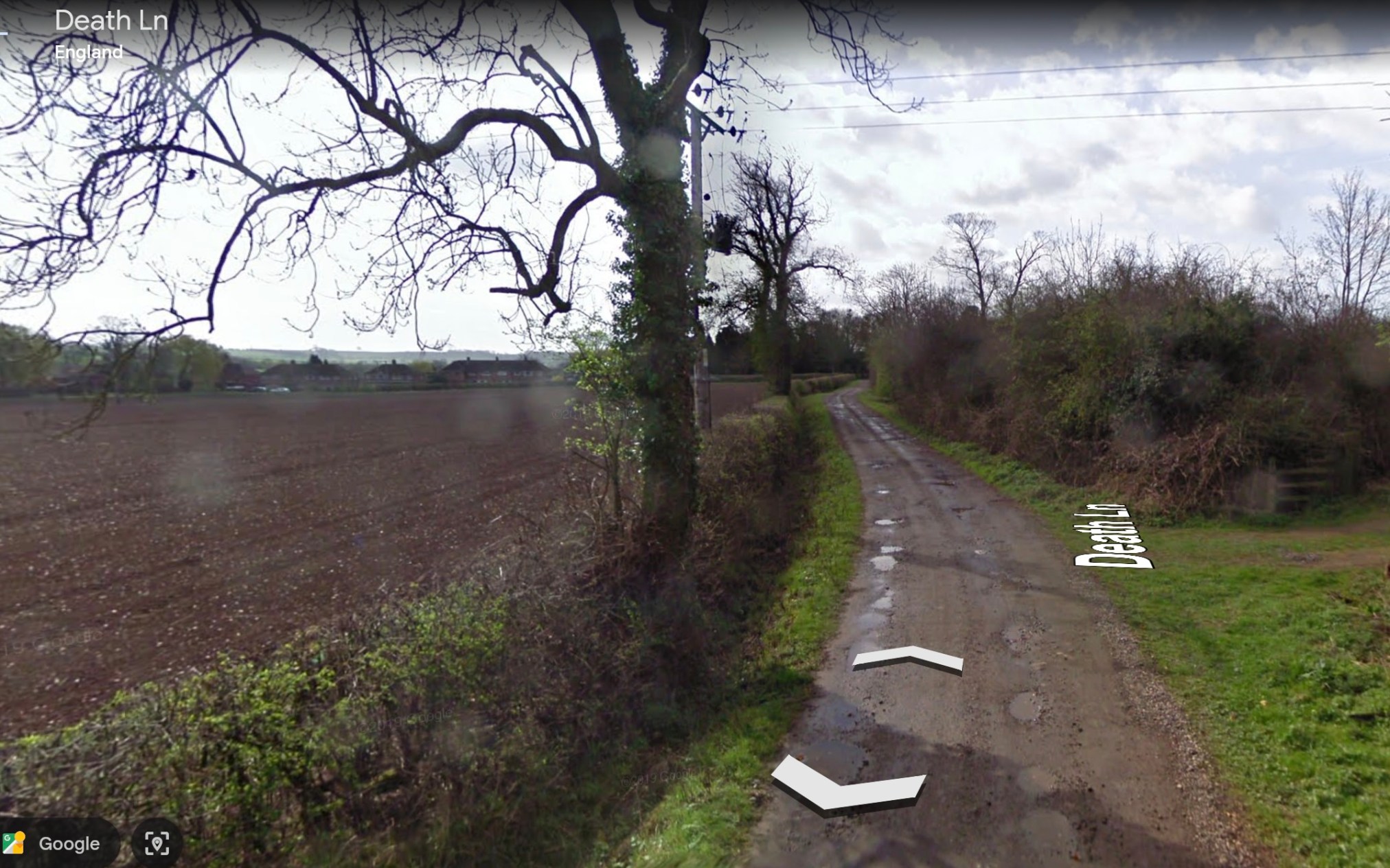
I began at Everton where the land is very flat. The area from there to Clayworth is dominated by fields and farms. The names alongtheu way are interesting… for example Drakeholes???? Death Lane???? The name Clayworth was once thought to represent the soils in the area but now it is thought to refer to a protective area of hills near the village.
~
~
~
The cycle along the road to Gringly on the Hill was flat and also agricultural. Huge fields had been planted along the road.
~

~
Also, there were wild pink roses in bloom along the way.
~

~
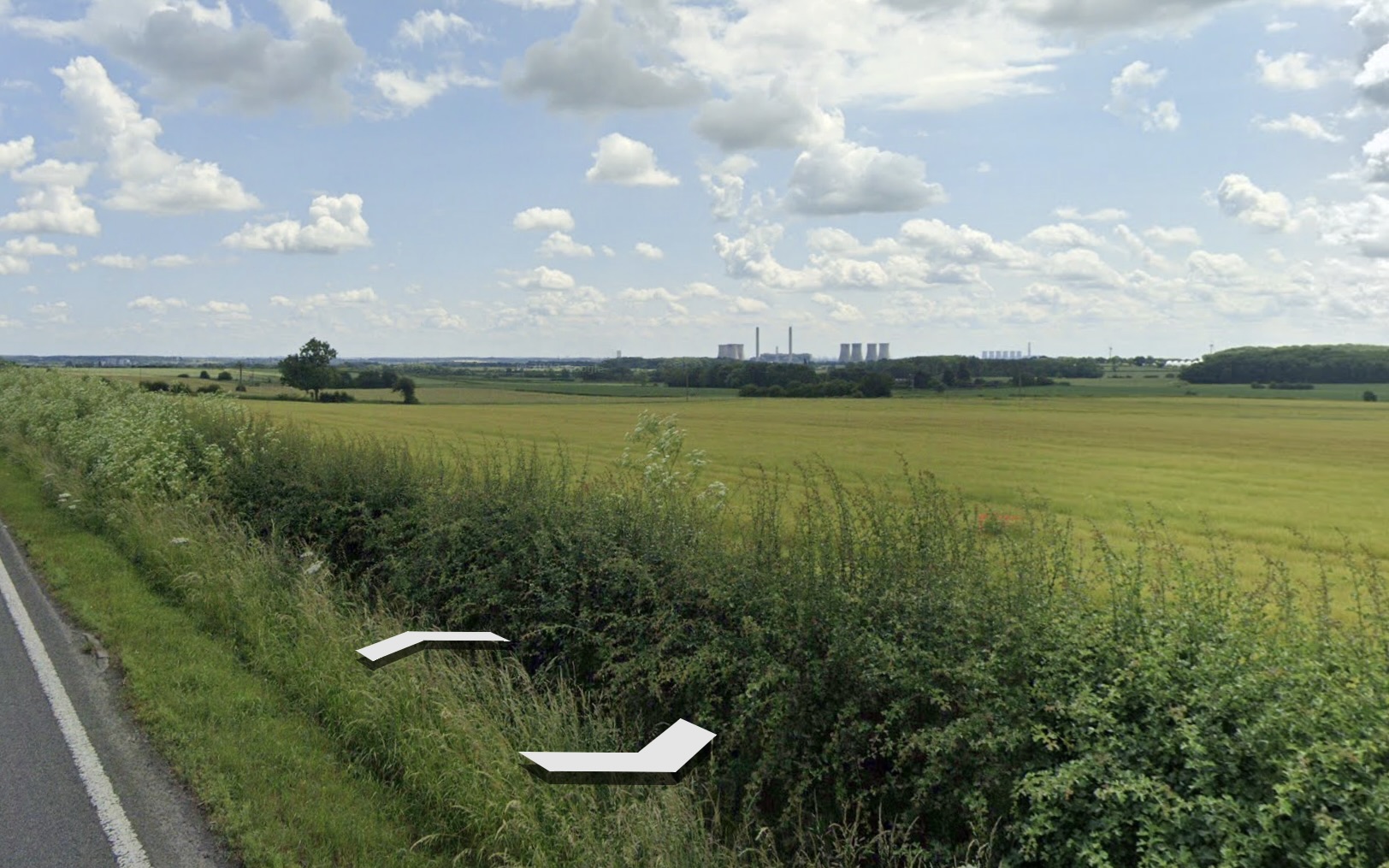
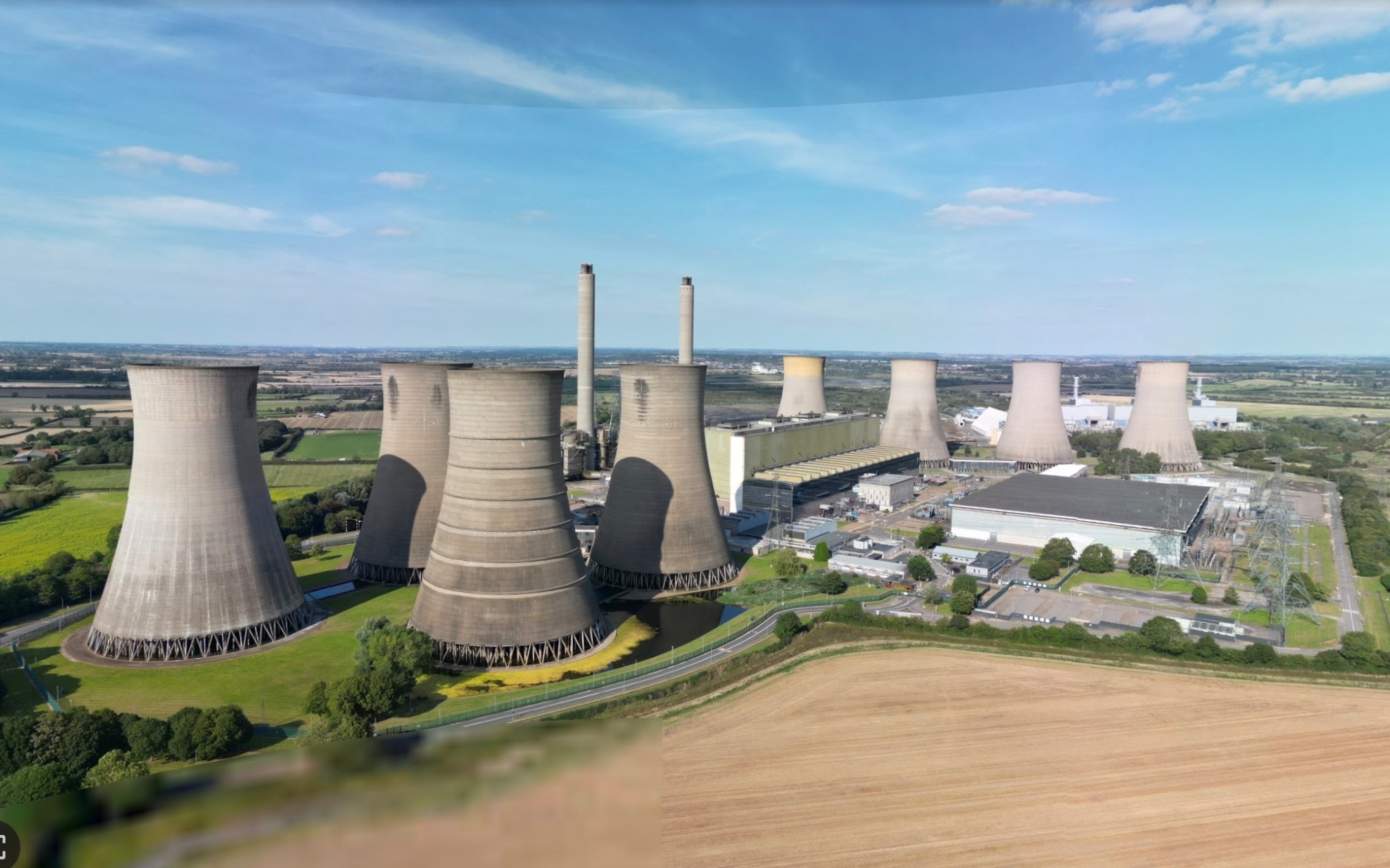
The Double highway from Gringly on the Hill to Beckingham was rather dull, except for a large industrial site on the horizon.
~
~
This turned out to be the power generating station at West Burton.
~
~
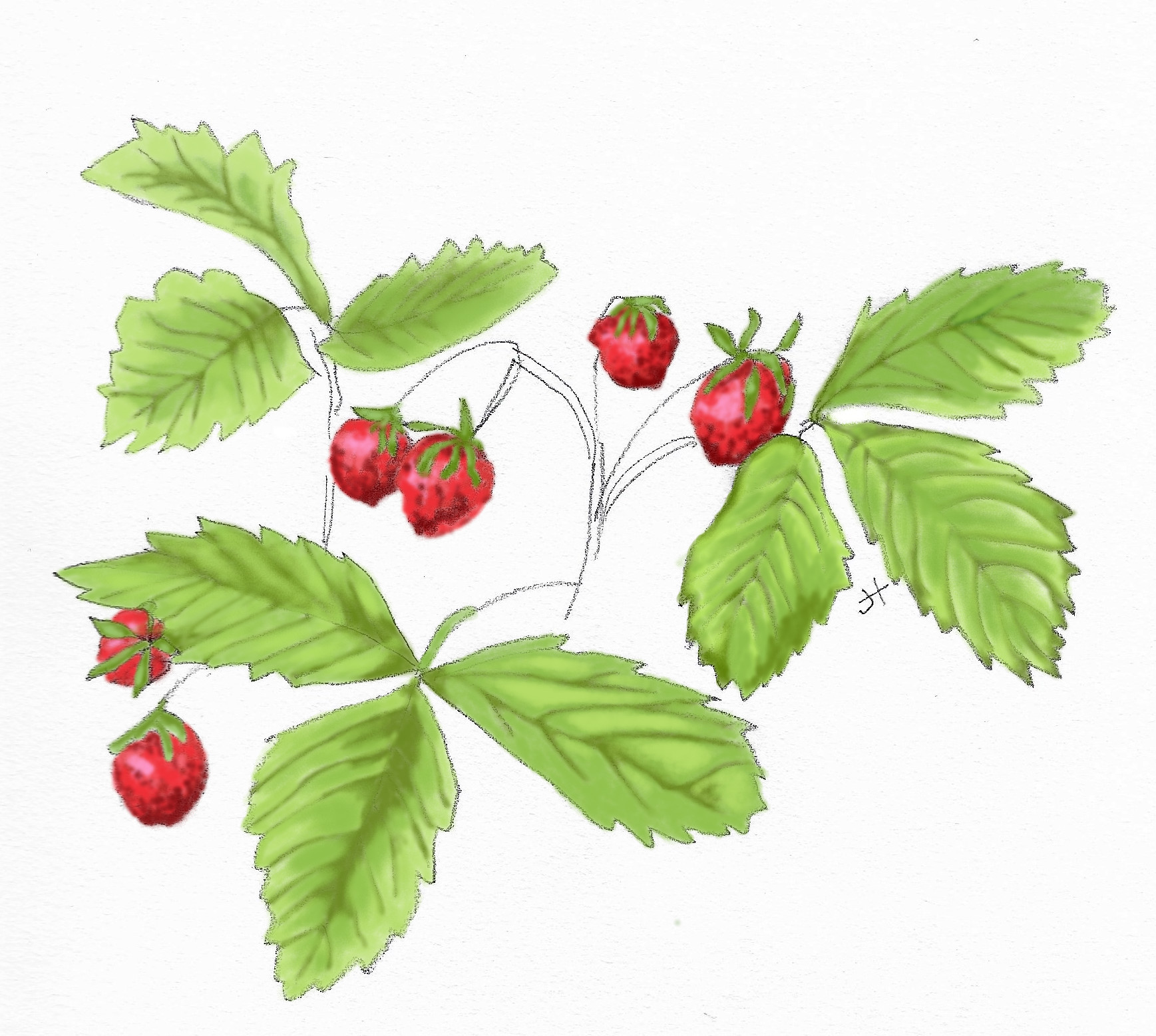
Also, in aerial view, I found a large area near North Wheatley that looked, at first, like a large solar farm. With a little reading, I now think it is more likely to be a view of extensive strawberry polytunnels … the area is known for its strawberry production and the logo for North Wheatley includes the image of a strawberry.
~

~
~
The next leg of my journey will take me to Gainsborough and Walkingerham, Lincolnshire, where three early families with the last name Spaveld/Spaven/Spavalde lived in the 1400s.
~
All my best,
Jane
gates and gateposts
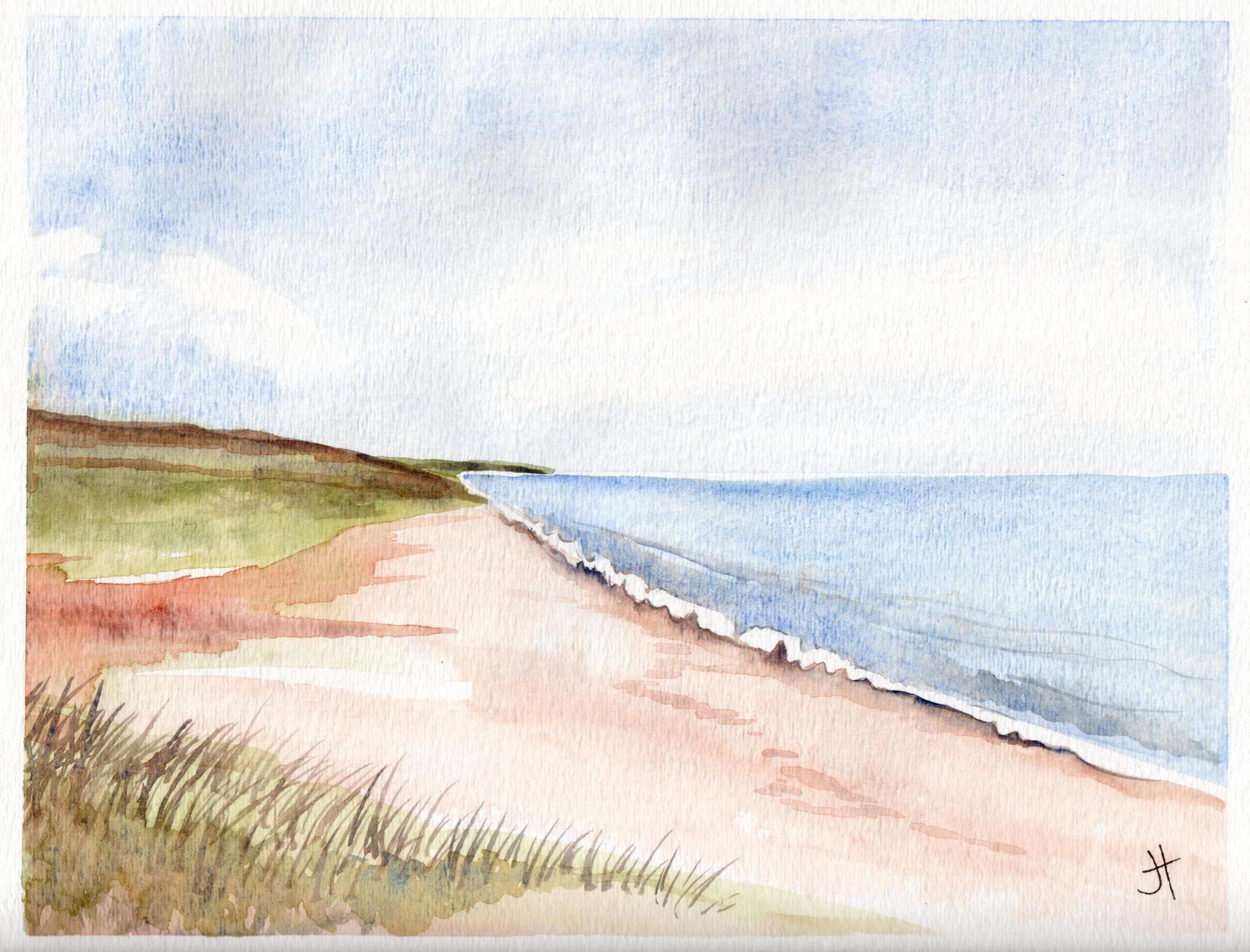
Looking through my watercolours, I came across the painting below of a gatepost. I painted this during my virtual excursion through Cornwall, using Street View and Google Earth. The painting reminds me of how much fun I had, painting the scenes I discovered on my virtual journey.
~
I am still using Street View to motivate my exercise program – since last year, I have been following the Saint John River from its origins in Quebec and Maine. My goal is to ‘cycle’ the length of the Saint John River, all the way to where it empties into the Bay of Fundy.
~
Gateways mark change. They represent movement from one space to another. They can be entryways. They can also be barriers. The challenge is always to step through that gate and keep on going.
~

Oct. 4, 2013 ‘gate near Feock’ Jane Tims
~
through the gate
~
grey granite cold
black body to
absorb the sun
emit no warm
even lichens
rooted to stone
are barely alive
~
the stone invites
admiration
but curves disguise
the jagged edge
biotite and
muscovite honed
razor thin
~
step forward, through
the gate, ignore
the risk
the path behind
~
~
Copyright 2014 Jane Tims
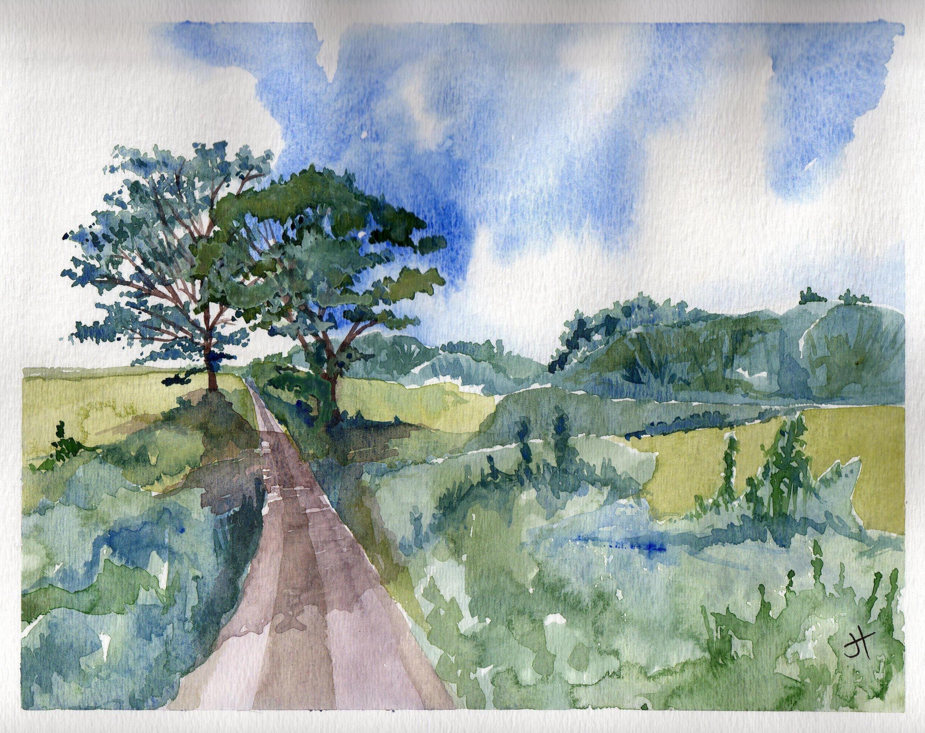
glimpses of country life – drying day
For the last two weeks, I have continued on my stationary bike, touring (virtually) through the Cornwall countryside. Since I last reported, I have gone from Rinsey Croft to the coastal town of Prussia Cove. Since the road does not run along the coast, I have spent most of my biking miles travelling on short roads from the highway to various coastal towns. In this stretch, I biked for 150 minutes, and saw about 9 km of the Cornwall countryside.
~

~
As I bike, I love seeing the vignettes of country life captured by Street View. Gates, of course, and stone walls. Cows and horses grazing in the meadows. People hiking along the roads and working in their gardens. And a line of washing, hung out on the line to dry.
~
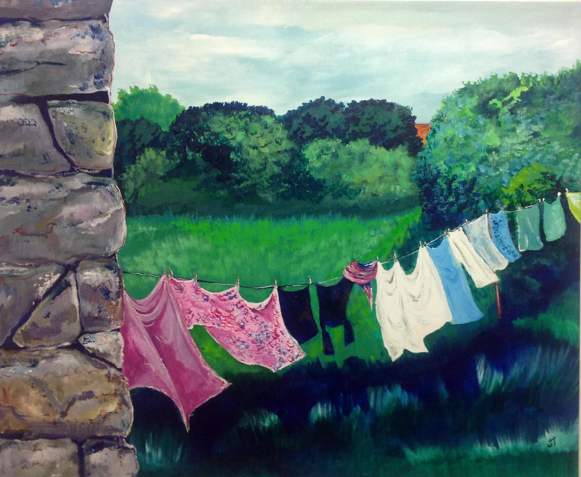
September 7, 2014 ‘drying day’ acrylic 20 X 24 Jane Tims
~
Reminds me of home.
~
~
Copyright 2014 Jane Tims
fortification against the sea
On the second day of my virtual biking last week, I toured Porthleven, a large town along the Cornwall coast. Street View had done its image-taking on a clear day, but the steep cliffs along the ocean made me ponder what it might be like to stand on this exposed coast in a storm.
~
I wondered why so many foundations along the cliff side of the street were abandoned. One of the foundations enclosed what might be a giant chess board!
~

abandoned foundations along the coast at Porthleven (image from Street View)
~
Then I had a first glimpse of the seawall and signs warning sightseers to beware …
~
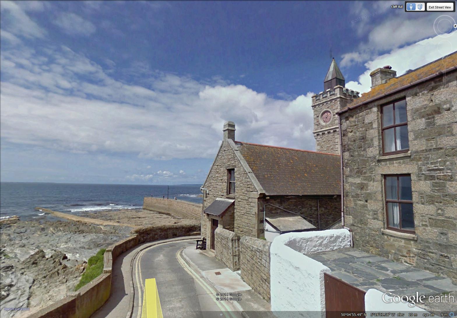
seawall and clock tower at Porthleven (image from Street View)
~
The harbour itself is a maze of thick, high walls and the piers of a now absent bridge …
~
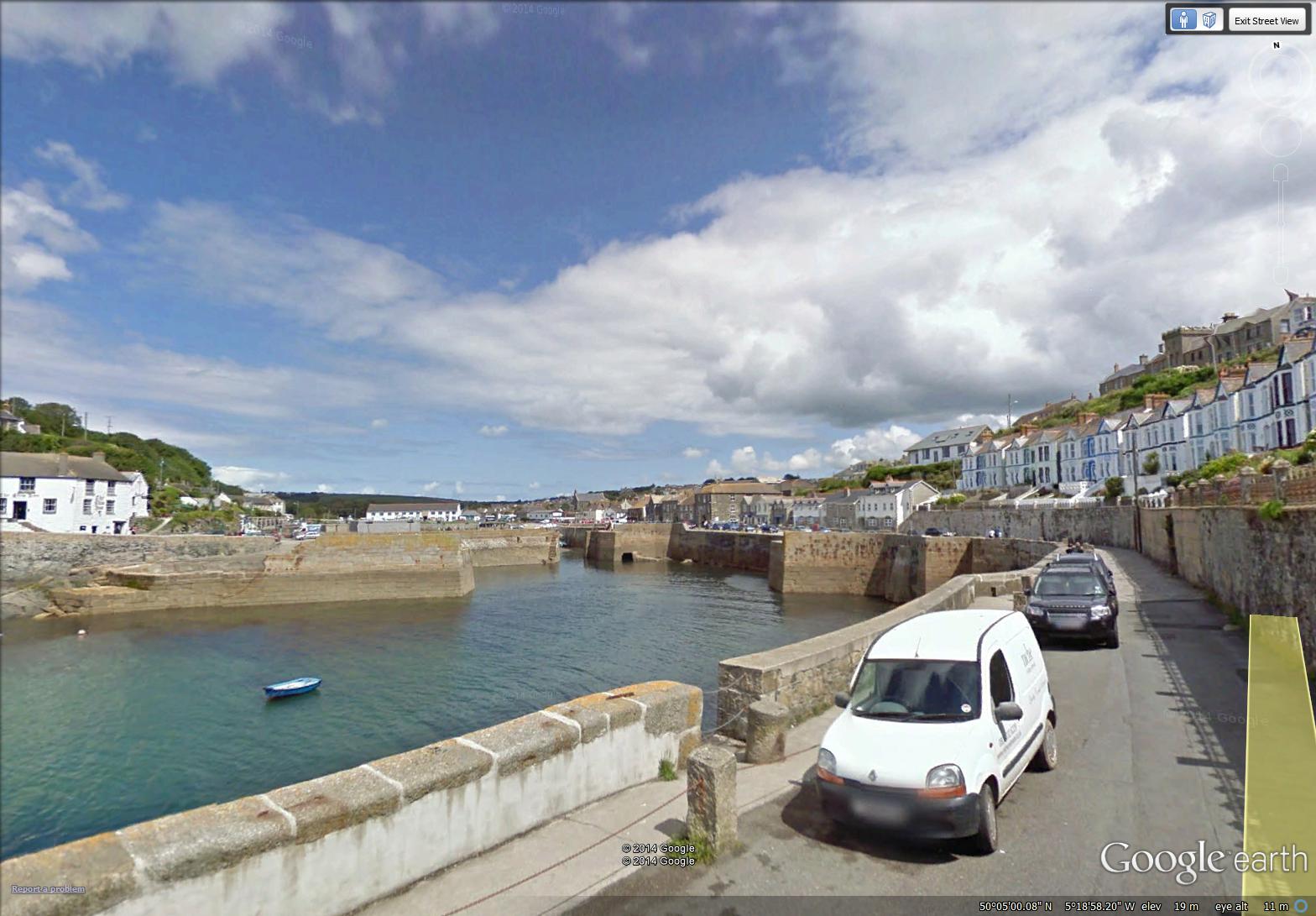
the fortified harbour of Porthleven (image from Street View)
~
A little searching on the internet found a dramatic photo (credit: Annabel May Oakley-Watson/REX) of the clock tower in the first image above, during a coastal storm … (‘Should Coastal Britain Surrender to the Tides?’, Patrick Barkham, The Guardian, February 7, 2014). http://www.theguardian.com/environment/2014/feb/07/should-coastal-britain-surrender-to-tide
~
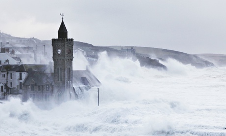
(photo credit: Annabel May Oakley-Watson/REX)
~
~
Copyright 2014 Jane Tims
along the pond
On my stationary bike last week, I travelled (virtually) along the Cornwall coast from the mouth of Loe Pond to Rinsey. During the week, I biked for 90 minutes, and saw 11 km of the Cornwall countryside.
~
The first day took me from the mouth of ‘The Loe’, along the pond to just west of Porthleven, in Shadywalk Wood.
~

from the beach at the mouth of Loe Pond to Shadywalk Wood (map from Google Earth)
~
The beach is a wide crescent of endless sand …
~
August 16, 2014 ‘beach at Loe’ Jane Tims
~
The path along ‘The Loe’ is narrow, tree-lined and shady. I saw lots of hikers and fellow bikers, but not a single car.
~

a typical part of the path along ‘The Loe’ (image from Street View)
~

August 16, 2014 ‘along Loe Pond’ Jane Tims
~
Biking along a shady lane, with no worries about traffic, thick ferny woods to one side and the sparkle of a pond on the other … a lovely way to ponder the days of summer …
~
Copyright 2014 Jane Tims
a return to Cornwall and its gates
I am back on my virtual bike trip along the coast of Cornwall. This week I have travelled 9 km from Predannack Wollas to Loe Pool for a total stationary cycling time of 75 minutes.
~
I have missed the Cornwall scenes of hedgerows and meadows, stone houses and seaside quays. Mostly I have missed seeing the gates, so it is no surprise my first watercolour for this phase of my journey is the stone pillar to a private gate.
~
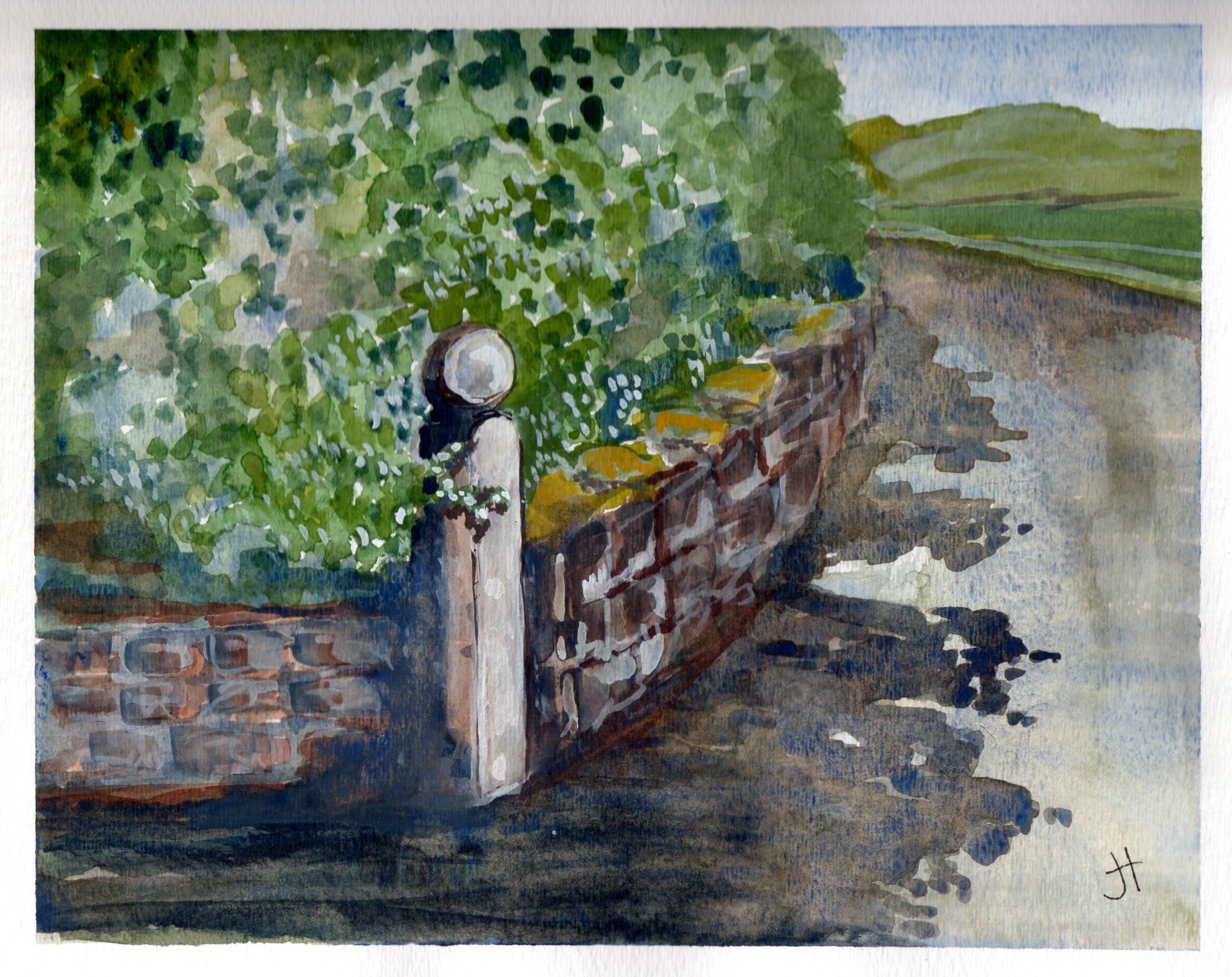
August 12, 2014 ‘stone post’ Jane Tims
~
Copyright 2014 Jane Tims
back to Cornwall
Although I have done some stationary biking since I ended my virtual trip across northern New Brunswick, I want to get back to the regular schedule I followed when I biked virtually in France and Cornwall. So I have decided to hop back on the Street View road and see some more of Cornwall.
~
In Phase 7 of my virtual cycling, I finished the southern coast of Cornwall at Landewednack and Lizard. I’ll begin Phase 9 at Predannack Wollas and cycle around the west coast of Cornwall. I’ll look forward to seeing Arthur’s Titagel and Doc Martin’s Port Isaac. Mostly, my knees will benefit from more regular exercise.
~
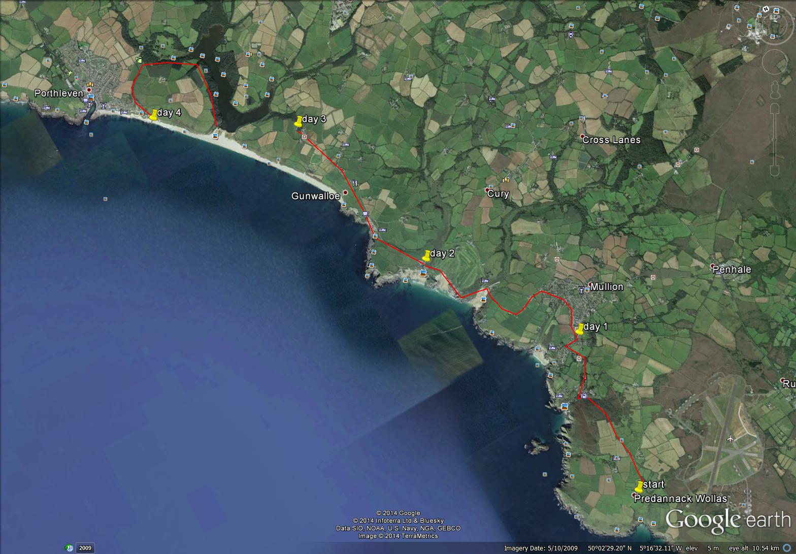
Predannack Wollas to Porthleven
~
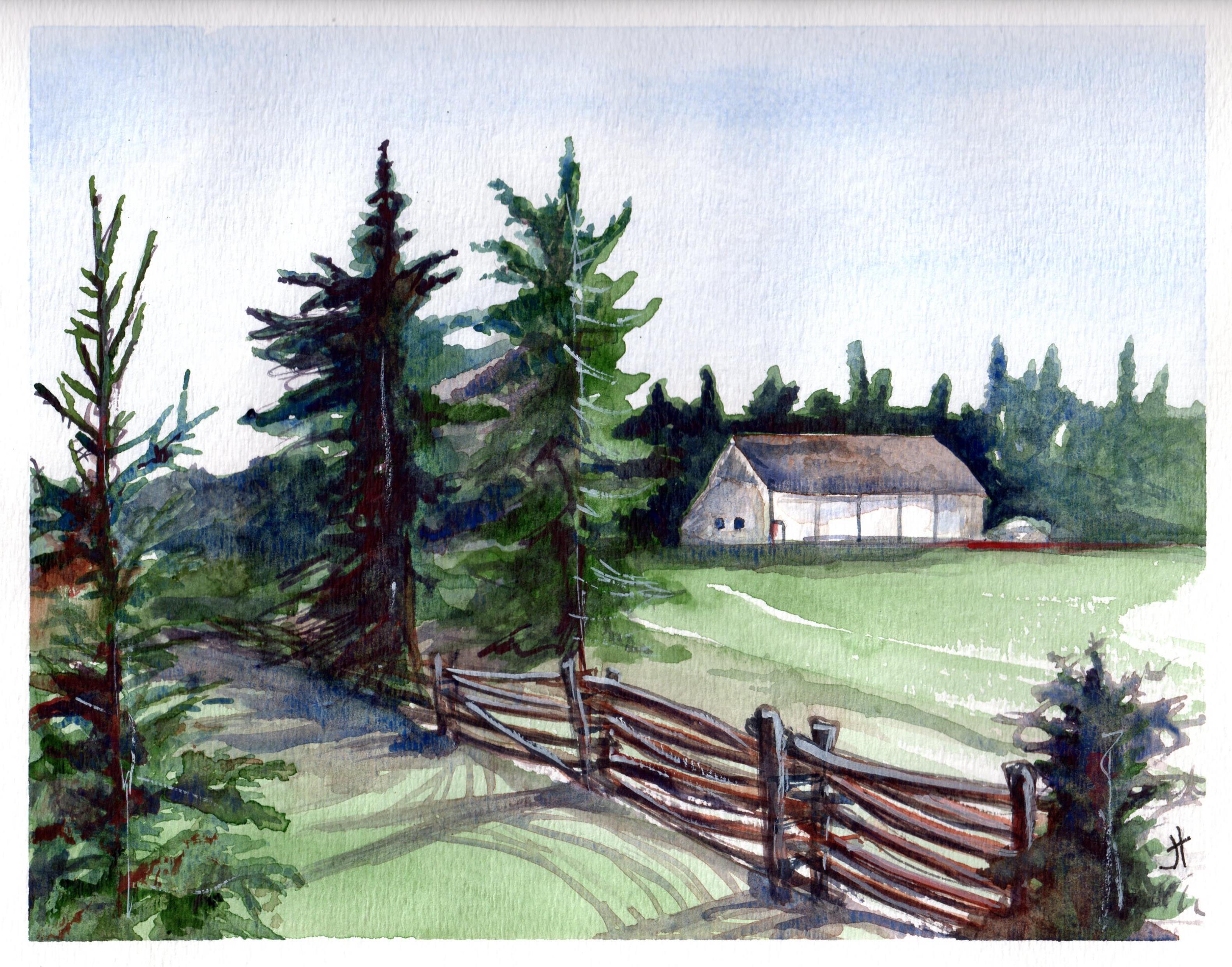
I have my first four days plotted and I start tomorrow. Just for old time’s sake, here is one of my earlier paintings from southern Cornwall …
~
~
Copyright 2014 Jane Tims
family history – the Johnson brothers
If you have followed my blog for a while, you may be wondering what has happened to my virtual biking along the northern coast of New Brunswick.
~
Well, this is what happened. As I cycled one day, I took a side road. It was a narrow road I had not travelled in quite a few years. And as I cycled, I felt drawn further and further into the past. I began to explore this past, lured by wiggling leaves that popped up as I biked along. Yes, you have guessed it … I found myself at http://www.Ancestry.ca , building a forest of family trees.
~
I discovered I could learn about my family quite quickly… thirty minutes of biking gives me time to explore an ancestor or two … I can travel back in time to the 1880 USA Census to search the byways of Wyoming or the country roads of Pennsylvania … I can discover great-grandparents I have known for some time, or great-great grandparents I have never encountered before.
~
So, for a little while, my exercise program will not be about discovering new places, but about discovering new family members. I promise to return to the present and my virtual geographic travels eventually.
~
The first people I have met on my new travels are the Johnson brothers, my great-granduncles. They are the sons of my great-great-grandfather James Johnson. My Mom was very interested in this part of our family and worked to leave us a little of their history. I have photos of most of them, including a family grouping in a sepia tin-type. The original tin-type is small, about 2″ by 3″. Tin-types are photos imprinted on a metal surface. Most tin-types are on iron, coated with black paint or lacquer. This type of photo was popular from the 1860s through to the 1910s.
~

some of the Johnson brothers in an old tin-type photo
~
The brothers were John (born 1849 ), Daniel (born 1851), James (1854), Alexander (1857), and Isaac (1866). They had two sisters Kate (born 1847) and Mary Jane (my grandmother, born 1859). There is some question about which of the brothers are in the photo, but my Mom had it figured out based on the boys’ ages, and photos of them at an older age.
~
Only a few details survive for the brothers. I know birth and death dates, as well as the names of wives and children. John, James and Alexander were farmers. John and James were adventurers and visited the west. Daniel and Isaac were doctors.
~
So much information is lost, but for now, I am enjoying small discoveries about their lives.
~
Copyright 2014 Jane Tims
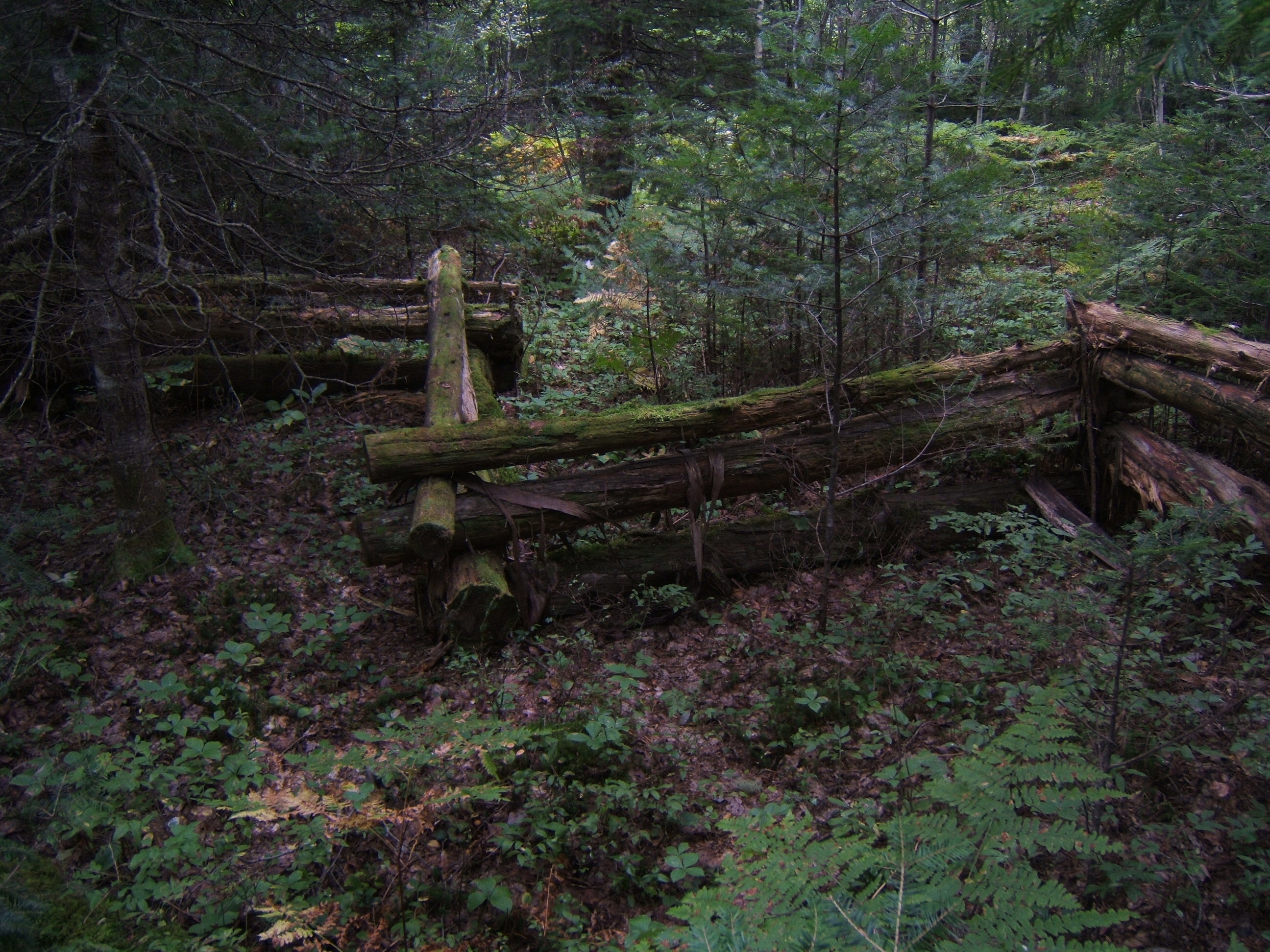
fencing us in (day 19 and 20)
When I first moved to New Brunswick, rail fences could be seen almost everywhere in rural areas. The design was simple – stacks of very long cedar logs in a zigzag without posts at the junction. The logs were piled from 3 to 4 high and were very weathered. These fences used cedar in the construction because of its natural ability to withstand rot.
~
As the years go by, these fences have gradually disappeared from the landscape. Part of this is because the fences eventually deteriorate. Also, people salvage the rails for landscaping and other projects.
~

distance travelled (map from Google Earth)
~
8-19 February 25, 2014 30 minutes (Petit-Rocher-Nord to Petit-Rocher)
8-20 February 27, 2014 30 minutes (Petit-Rocher to Petit-Rocher-Sud)
~
Although I haven’t seen the zigzag style of rail fence on my virtual bike trip along the northern New Brunswick coast, I have seen other rail fence designs. These fences are also built of cedar, but the rails are supported at the junctions by short lengths of cedar …
~

rail fence near Nash Creek (image from Street View)
~
or on a sort of ladder, consisting of two posts and cross-members …
~

rail fence near Pointe Verte (image from Street View)
~
When I was younger, sitting on a fence like any of these was on my list of favorite things to do. Today, our property is fenced with a zigzag style cedar rail fence, built by my husband who is proud to say not a nail is used in the construction …
~
zigzag rail fence round our property
~
I wonder if there are nails used in this rail fence …
~
March 5, 2014 ‘rail fence’ Jane Tims
~
Copyright 2014 Jane Tims
flags all flying (day 17 and 18)
During my virtual travelling along the north shore of New Brunswick I often see flags flying, representing the esteem of people for their country and their heritage …
~

distance travelled (map from Google Earth)
~
8-17 February 21, 2014 30 minutes (Belledune to Devereau)
8-18 February 25, 2014 35 minutes (Devereau to Petit-Rocher-Nord)
(I also took a quick sidetrip on the highway south to Madran – the beauty of travelling virtually)
~
All along the coast of northern New Brunswick, people are proud to display their flags. As I ‘cycle’ along the road I see three flag designs …
~
The red and white Canadian flag with its maple leaf …

a Canadian flag near Campbellton (image from Street View)
~
the New Brunswick flag (based on the province’s Coat of Arms and depicting a red lion and a ship) …

the yellow, red and blue New Brunswick flag showing the ship from the Coat of Arms (image from Street View)
~
and the Acadian flag …

the blue, white and red Acadian flag showing its gold star (image from Street View)
~
The Acadians are the descendants of French colonists of the 17th century who settled in Acadia (the Maritime Provinces, parts of Quebec and Maine). Today, over 1/3 of New Brunswickers are Acadian and New Brunswick is officially bilingual (French and English).
~
The Acadian flag represents Acadians all over the world. The flag is blue, white and red, like the flag of France. On the blue field is a gold star, the Stella Maris (Star of the Sea). The star represents the Virgin Mary, patron saint of the Acadians.
~
Along the north shore of New Brunswick, the colours of the Acadian flag are represented on various objects, including telephone poles in some communities …
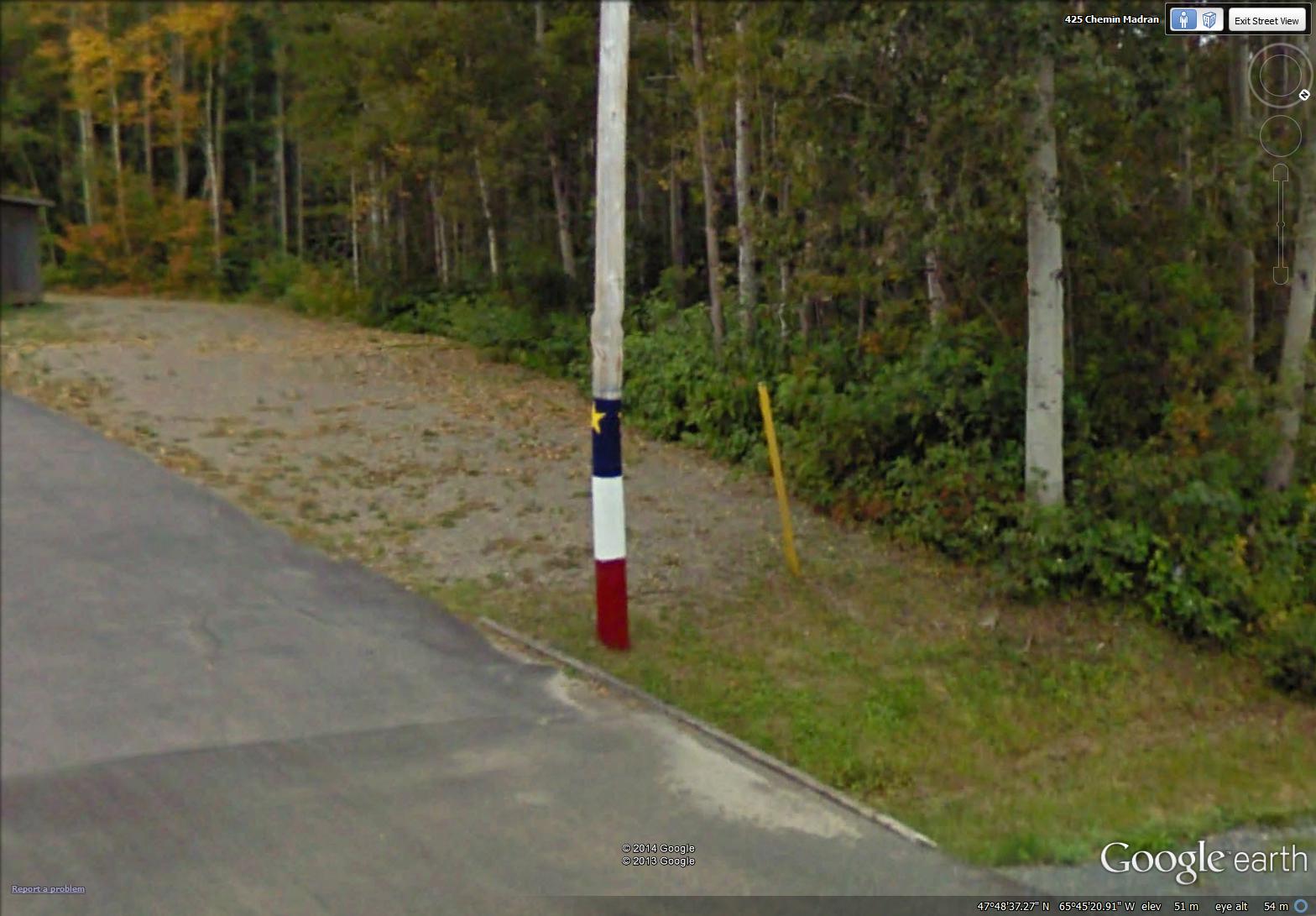
a painted telephone pole in Madran (image from Street View)
~
on lobster traps …

colours of the Acadian flag on a lobster trap (image from Street View)
~
and on rocks …

February 25, 2014 ‘roche Acadienne’ Jane Tims
~
The Acadian flag and its representations remind me how proud I am to live in a province that includes the rich culture and history of the Acadian people.
~
Copyright 2014 Jane Tims


