Posts Tagged ‘stationary cycling’
ruins by the road 6-8
~

a ruin near Saint-Martin – this wall was put to use as a community event poster – first to announce a circus and then to tell about a sale of second hand items (image from Street View)
~
 ~
~

map showing distance travelled (map from Google Earth)
~
The Ile de Ré has a long history. It is not surprising to see ruins along the way. Some, like the abbeys I have seen, have been restored. Others, probably on private land, are left to the sun and the rain …
~

a ruin of a building and wall (image from Street View)
~
Sometimes, the ruin is part of an old property wall …
~

part of an old wall (image from Street View)
~
It is hard to believe that some of these walls, hundreds of years from now, may only exist as ruins …
~

a wall covered with vines (image from Street View)
~
Best View: a deserted stone building beside the highway …
~

‘overgrown’ June 6, 2013 Jane Tims
~
Copyright Jane Tims 2013
donkeys and a walled town 6-7
~

walls of Saint-Martin (image from Street View)
~

~

map showing distance travelled (map from Google Earth)
~
My virtual bike trip on June 3 began with a surprise. Along the busiest part of the road, not far from the gates to the walled town of Saint-Martin, cars were stopping along the road to see a herd of donkeys! …
~

donkeys near Saint-Martin (image from Street View)
~
A herd of donkeys were also huddled near the moat around Saint-Martin …
~

a herd of donkeys near the entrance to Saint-Martin (image from Street View)
~
Although I didn’t travel into the town (no Street View), a bit of looking at some of the images on Google Maps showed a town of narrow cobblestone streets and a beautiful harbour area …
~

entrance to walled town of Saint Martin (image from Street View)
~
The map below shows an aerial view of the town, and the citadel to the right …
~

map of Saint-Martin (map from Google Earth)
~
In the country-side to the west, there are acres of vineyard …
~

vineyard near Saint-Martin – the poster on the ruin across the road announces an antique sale! (image from Street View)
~
and more acres of vineyard … the Internet tells me that this is part of the Pays Charentais, producing mostly white table wines …
~

future bottles of wine (image from Street View)
~
Best View: a building along the road to Saint-Martin-de-Ré … more watercolour work …
~

June 3, 2013 ‘on the road to Saint-Martin-de-Ré’ Jane Tims
~
Copyright Jane Tims 2013
a citadel and a walled town 6-6

bright whites and blue-greens near Saint-Martin (image from Street View)
~

~

map showing distance travelled (map from Google Earth)
~
Another day on the flat, flat island of Ré. I saw more poppies …
~

poppies in a field near Saint-Martin (image from Street View)
~
huge vineyards …
~

a large vineyard (image from Street View)
~
and more vineyards …
~

a vineyard near Saint-Martin (image from Street View)
~
Although Street View doesn’t allow too close a look, I reached the fortified town of Saint-Martin-de-Ré. The major feature was the wall, around the citadel …
~

white wall around citadel at Saint-Martin (image from Street View)
~
and enclosing the town of Saint-Martin …
~

walled town of Saint-Martin (image from Street View)
~
Ile de Ré has been of strategic importance throughout history and is extensively fortified. This includes the citadel at Saint-Martin-de-Ré which was built around 1620 during the Wars of Religion to protect Catholic Saint-Martin from the Protestant population of La Rochelle. The Citadel was also used as a prison in the 18th and 19th centuries …
~

map of citadel (map from Google Earth)
~
On my next bike trip, I’m looking forward to a closer look at the walled town and its population of donkeys!
~
Best View: a courtyard in La Flotte, and some practice with my watercolours …
~

May 28, 2013 ‘walled courtyard in La Flotte’ Jane Tims
~
Copyright Jane Tims 2013
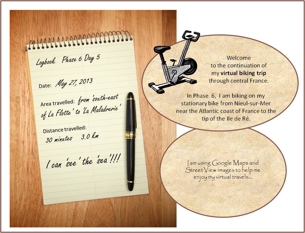
a walk along the quay 6-5

quay at La Flotte (image from Street View)
~
~

map showing distance travelled (map from Google Earth)
~
At last, vineyards! My virtual bike trip along the coast of Ile de Ré on May 27 took me past some beautiful vineyards …
~

to the right, the Abbaye des Chateliers (image from Street View)
~
In the distance, I could see the ruin of the Abbaye des Châteliers. Many of the images available for the abbey show fields of poppies – as I ‘drove’ by, a tractor was preparing the soil for the next round of bloom!
~

preparing a field for next season’s poppies (image from Street View)
~
The establishment of the abbey dates to 1150 although the exact date is unknown. The abbey was demolished and rebuilt several times … today’s ruin is 16th century. The facade of the church is almost intact, and shows the ornate enclosure of the huge windows. It was fun to explore, although in reality I was at a computer rather than admiring the stone walls in person. For more information on the Abbey, see http://www.patrimoine-histoire.fr/Patrimoine/IledeRe/Ile-de-Re-Abbaye-des-Chateliers.htm
~

vineyard with church ruin in distance (image from Street View)
~
The town of La Flotte was charming and very old. There were so many green shutters, I think they must be legislated in the town ordinance …
~

street in La Flotte with plantings and green shutters (image from Street View)
~
Flowers were planted everywhere along the street …
~

the edge of the wall along the street in La Flotte was planted with different types of flowers in bloom (image from Street View)
~
I thought the quay in La Flotte was inviting and sunny, the quinessential opportunity to wander along the dockside buildings and have a drink at one of the tables overlooking the harbour …
~

the quay in La Flotte (image from Street View)
~
Best View: a blue gate outside La Flotte … and my first effort at line and wash watercolor …
~

May 27, 2013 ‘blue gate near La Flotte’ Jane Tims
~
Copyright Jane Tims 2013
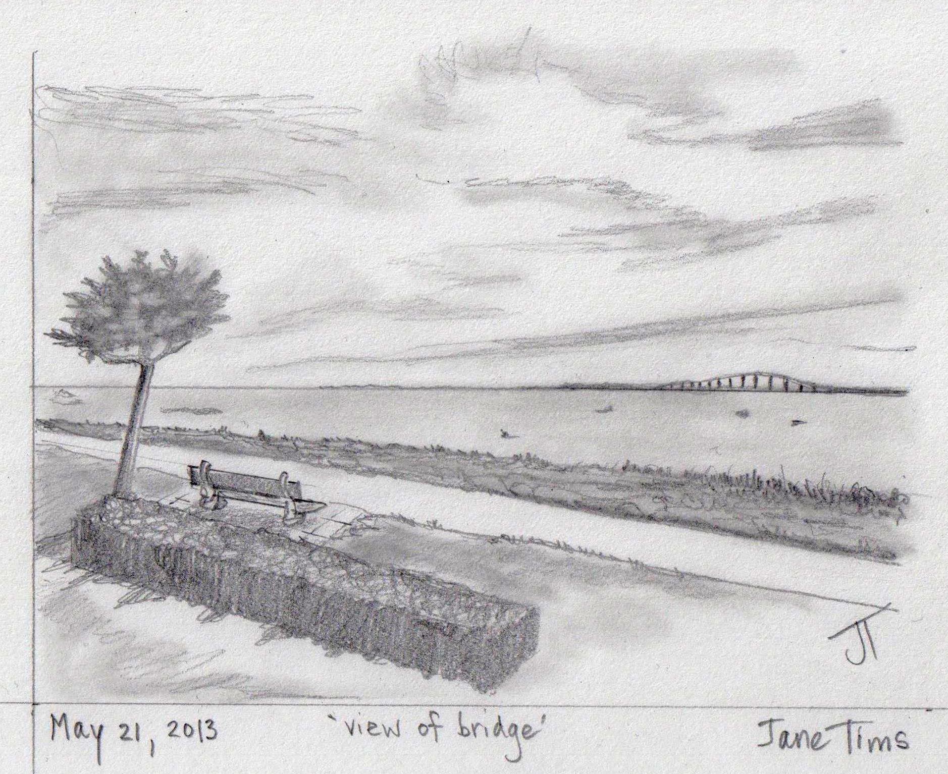
looking out to sea 6-4
~

view from Ile de Ré with the bridge in the distance (image from Street View)
~

~

map showing distance travelled (map from Google Earth)
~
I am enjoying my glimpse into the way of life on Ile de Ré. The houses include the now-familiar two-story dwellings on narrow streets. Most of the houses have painted shutters …
~

narrow street in Rivedoux-Plage (image from Street View)
~
I also see more modern houses tucked away behind fences and walls …
~

street on Ile de Ré (image from Street View)
~
Where the route runs along the ocean, there are pleasant walkways and marinas for boaters …
~

houses along Rivedoux-Plage (image from Street View)
~
There are lots of places to sit and watch the ocean. Some views overlook extensive oyster farms in the zone of the low tide …
~

~
A closer look at my route map shows the rectangular oyster-growing areas just off-shore …
~

~
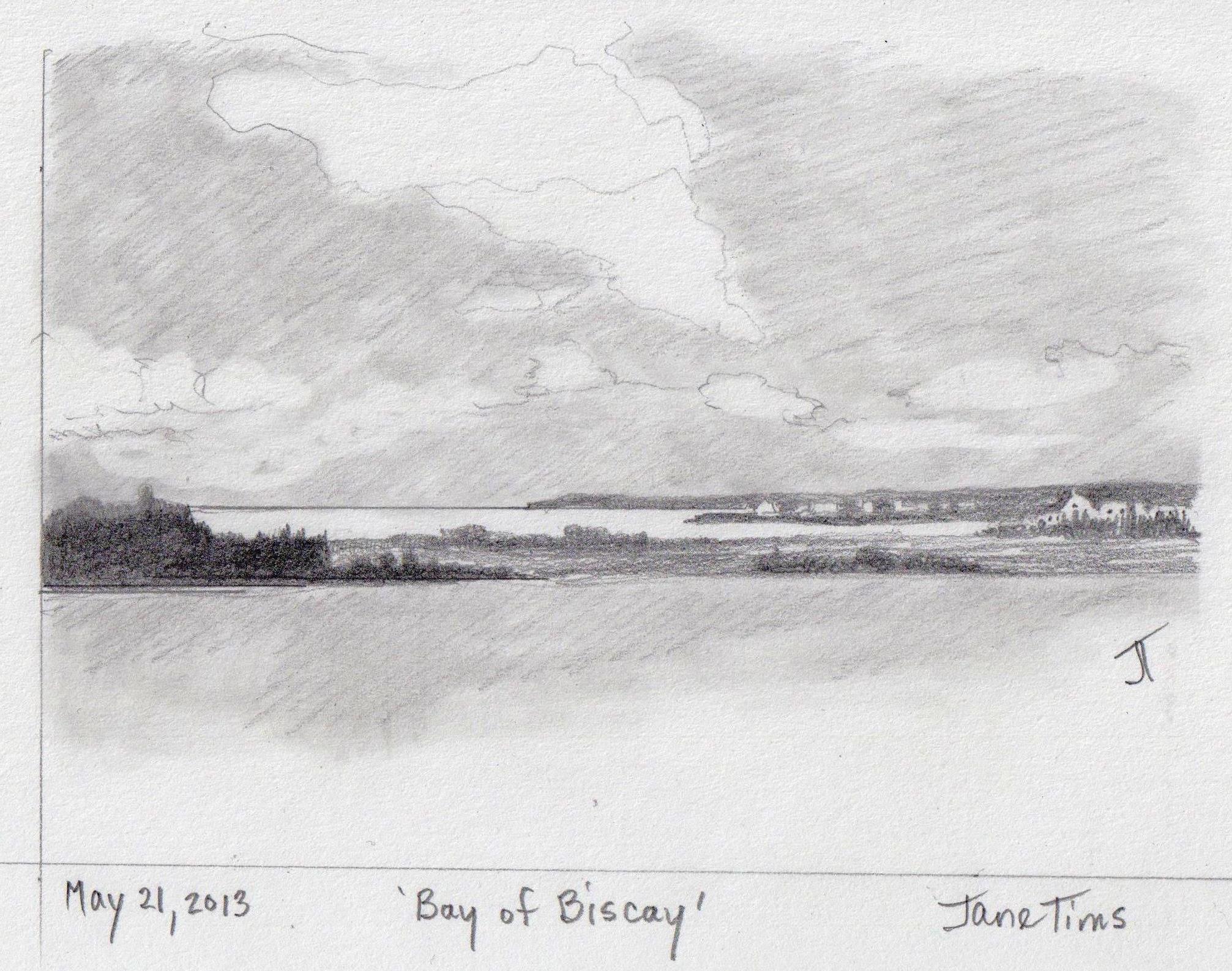
Best View: view across the Bay of Biscay toward the Ile de Ré Bridge – a place to sit and watch the ocean …
~
~
Copyright Jane Tims 2013
beaches and dunes 6-3
~

view of Ile de Ré from Bridge (image from Street View)
~

~

map showing distance travelled (map from Google Earth)
~
At last, I have arrived on Ile de Ré! I love the name Sablanceau, the first community I reached on the island … it seems to be a name made from the words ‘sand’ (le sable), ‘white’ (blanc) and ‘water’ (l’eau) …
~

beach to east of bridge (image from Street View)
~
It looks like the beaches of the island are accessible to vehicle traffic, making them vulnerable to erosion. I was glad to see boardwalks have been to constructed to reduce the impacts of foot traffic across the dunes …
~

walk way across the dune (image from Street View)
~
The island is flat and there are bike routes everywhere …
~

bike route along the beach (image from Street View)
~
It must be nice to live directly across the road from such a beautiful beach, but the traffic must be annoying …
~

houses along the Sablanceau beach (image from Street View)
~
Best View: dunes of Sablanceau …
~

~
Copyright Jane Tims 2013
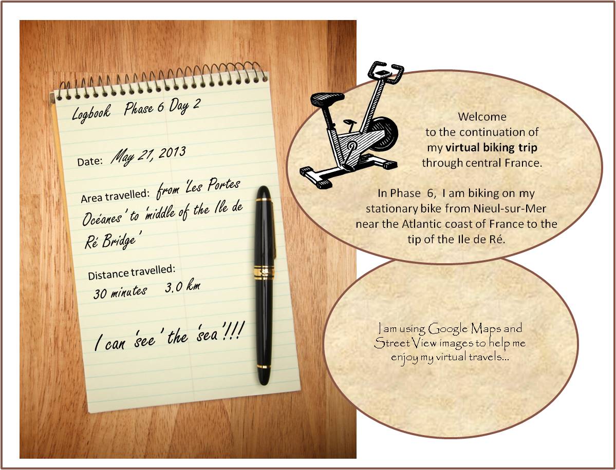
on the Bridge to Ile de Ré 6-2
~

on the bridge to Ile de Ré – lots of traffic (image from Street View)
~
~

map showing distance travelled (map from Google Earth)
~
On May 21, I continued my virtual ‘bike ride’, so excited to finally see the big bridge to Ile de Ré. I began with another view of the ocean. It makes me happy to know I share the Atlantic Coast with this part of France – I am just the width of the ocean and a continent away!
~

another view of that Bay of Biscay (image from Street View)
~
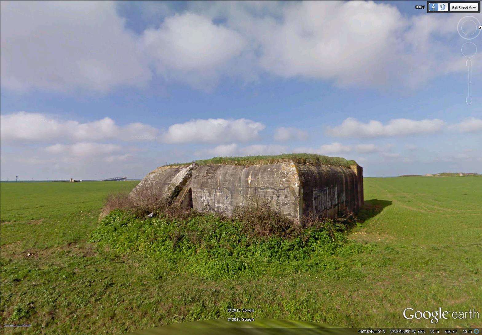
It was interesting to see World War II fortifications on this part of the coast. I usually associate these with northern France. I wouldn’t make much of a military strategist …
~
~
My first glimpse of the bridge was a small tilted structure on the horizon. This bridge reminds me of the big Confederation Bridge between New Brunswick and Prince Edward Island. The Confederation Bridge was opened in 1997 and is 13 km across. It replaces a ferry that ran there for years. The Ile de Ré Bridge is only about 3 km long, but the big curve in the structure makes it look magnificent. It was built in 1987 to replace a car ferry ( a bac) …
~

in the distance, at about 8 o’clock, you can see the Ile de Ré bridge, a small tilted bit of the horizon (image from Street View)
~
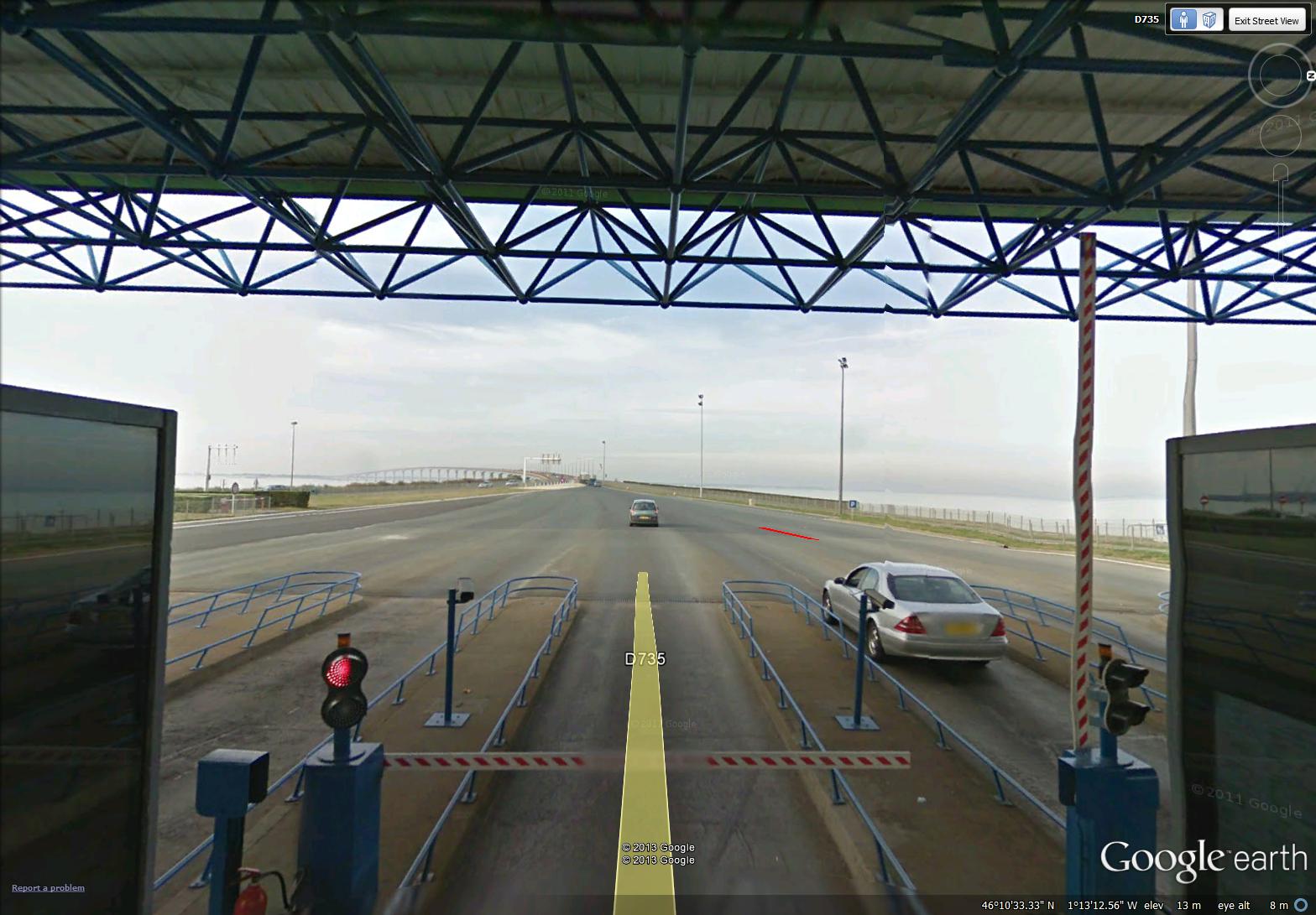
It was exciting to approach the bridge on my bike, particularly since I think bikes are free (a car paid a toll of 16 € in early 2012). The toll booth is called the Belvedere …
~

the toll booth for the Ile de Ré bridge (image from Street View)
~
I whizzed right through without paying (don’t know if I was free) …
~
~
Glad to see there were bike lanes on the bridge, coming and going …
~

bike lanes on the bridge (image from Street View)
~
I could also look back and see the cliffs along the coast of France …
~

looking back at the coast of continental France (image from Street View)
~
Best View: beaches of Ile de Ré …
~
~
Copyright Jane Tims 2013
on the way to Ile de Ré 6-1
~
")
biking towards the coast (image from Street View)
~

~

map showing distance travelled (map from Google Maps)
~
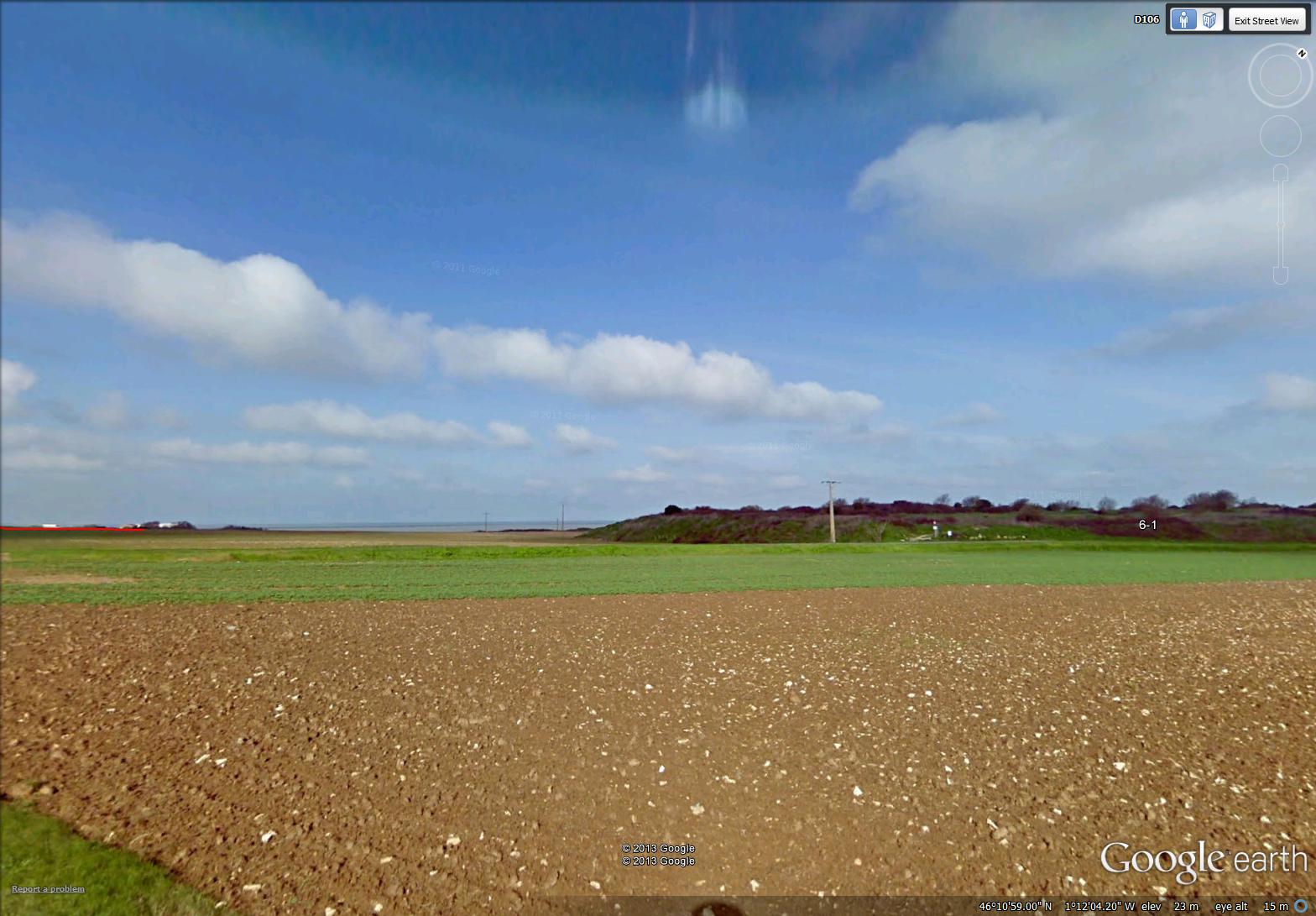
On my first day of Phase 6 of my virtual bike trip across central France, I was preoccupied with seeing the ocean (Bay of Biscay) and the coastline of France.
I stopped for a cup of tea at a small roadside bistro …
~

a small bistro in L’Houmeau (image from Street View)
~
I started to think about the vistas I have seen in France – both the old and the new …
~

Bricomarche – a chain store selling building and decorating supplies – similar to Home Depot in Canada (image from Street View)
~
I have seen the new (big grocery stores and building supply stores) as well as the old (stone houses and shops) …
~

street in L’Houmeau (image from Street View)
~
On some corners, I see a mix of the new and the soon to be obsolete. This scene from France reminds me – in Canada, in the last ten years, we have also seen the introduction of recycling facilities in every public parking lot, and the loss of telephone booths from almost every outside public location …

recycling bins and telephone booths in L’Houmeau (image from Street View)
~
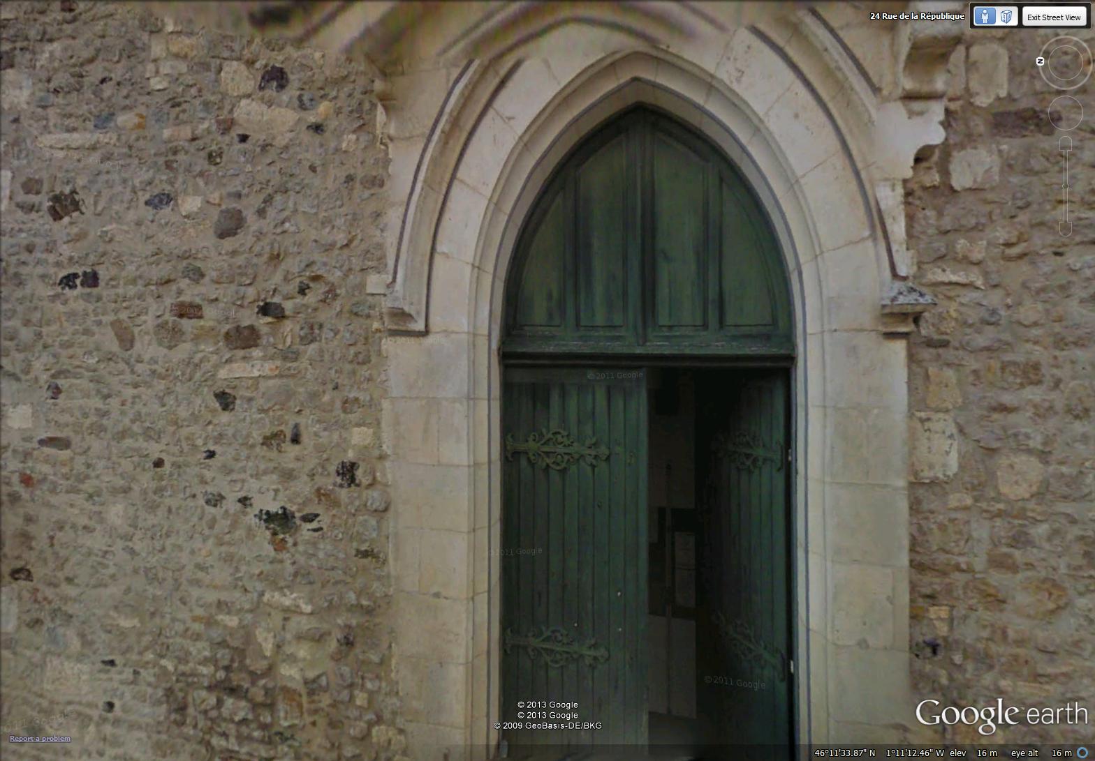
Of all the old things I saw today, I loved this old green door with its elaborate hinges, the door to a church in L’Houmeau …
~
~
At last, I saw the ocean, a strip of blue on the horizon just outside Les Portes Océanes …
~
~
Best View: my first glimpse of the coastline and the Bay of Biscay …
~
~
Copyright Jane Tims 2013
asking for directions 5-12
~
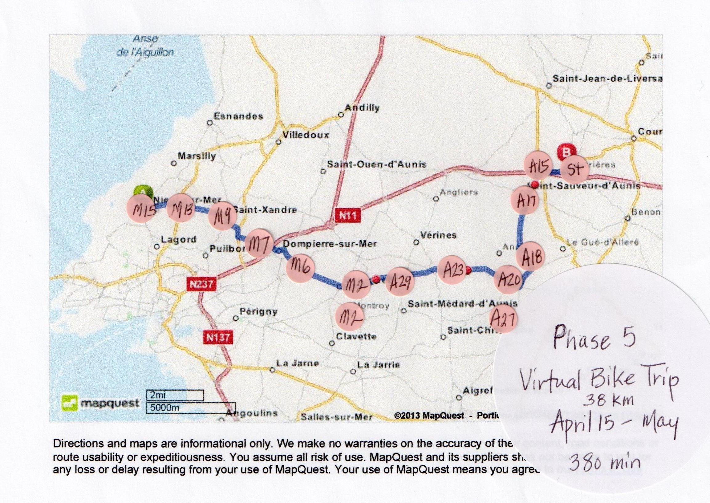
On May 15, I completed Phase 5 of my virtual bike trip through central France!
~
~
As a life-long avoider of exercise, it is hard for me to believe I have kept this up for almost 4 months. I have cycled a total of 155 km on my stationary bike. And, although I have never been to France, I feel like I have explored the landscape of part of central France.
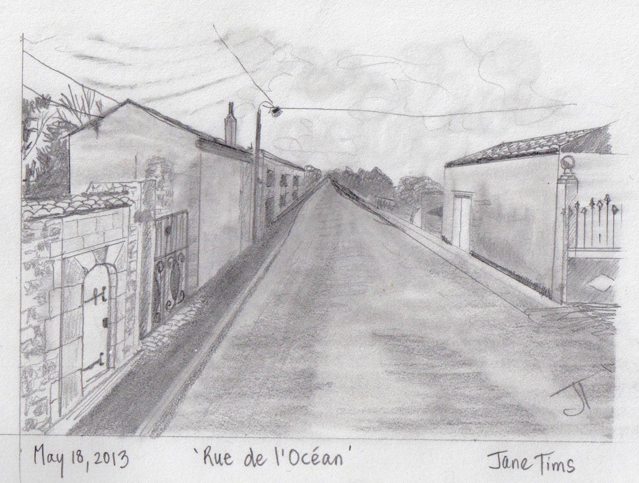
~

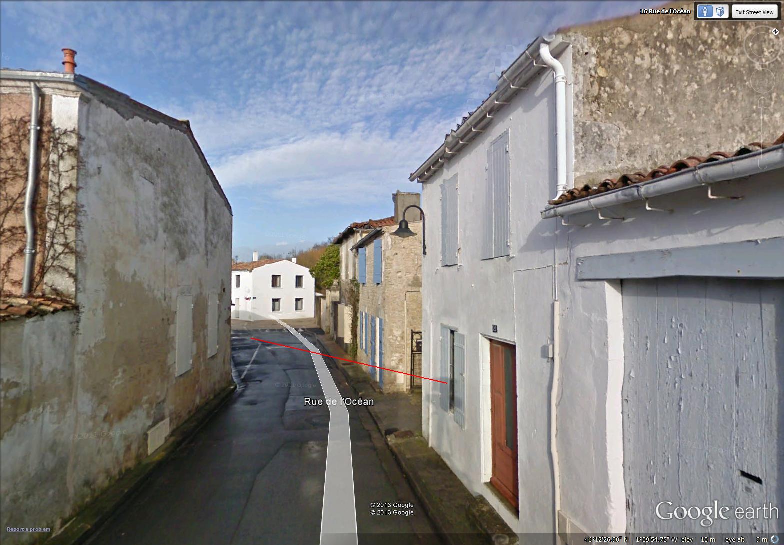
Rue de l’Ocean (image from Street View)
~

~
~
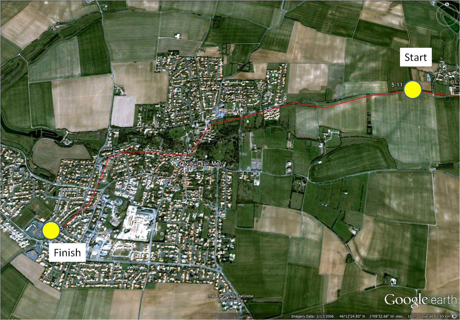
Believe it or not, this was the first time I actually got lost on my virtual bike trip. The Rue de l’Océan in Nieul-sur-Mer is narrow and seems to go forever, taking twists and turns. It is easy to take the wrong turn when you are moving along in Street View …
~
~
Part of my difficulty – I asked these chickens for directions. They did their best, clucking at me. I don’t speak chicken, so I must have misunderstood, and zigged when I should have zagged …
~

~
I also asked a fellow cyclist for directions, but he was late for his work (he carried his work tools behind him in a little cart), and in a bit of a hurry. Although he tried to point me in the right direction, I didn’t really understand his local accent …
~

~
In the end, I found my way by following the direction of the clouds in the mackerel sky …
~
 ~
~
Best View: Rue de l’Océan …
~
~
This completes Phase 5 of my journey. In Phase 6, I will reach the Atlantic Ocean (Bay of Biscay) and travel across a huge bridge to the island of Ré. If you love the ocean as much as I do, stay with me and follow along on your own virtual bike!!!!
~

~
Copyright Jane Tims 2013
gates 5-11
~
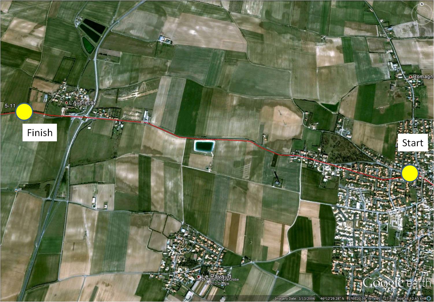
On my virtual bike journey of May 13, with only one more day to go before I complete Phase 5, I seemed to notice the ‘gates’ more than any other landscape feature. Sometimes, as in Saint-Xandré, three gates occur in a very short distance …
~

three gates in Saint-Xandre (image from Street View)
~

~
~
Some gates seem so mysterious. This gate, also in Saint-Xandré, must lead to the narrow end of a property …
~

gate on the narrow edge of a property (image from Street View)
~
A quick look at the map shows how the gate leads to a substantial park-like area …
~

map of park-like area beyond gate – the gate is at the very tip of the property, toward the lower part of the photo (map from Google Maps)
~
Some gates are very elegant and lead to beautiful homes with large courtyards …
~

elegant gate (image from Street View)
~
This gate was also quite grand and was paired with a charming gate for people …
~

gates for cars and humans (image from Street View)
~
My favorite gate was in a wall along a country road. There is no evidence this gate is used. The map shows there is no road, not even a cart track beyond the gate …
~

unused gate (image from Street View)
~
Best View: memory of a gate in Lusignan, at the very start of my virtual bike journey, back in January …
~

~
Copyright Jane Tims 2013


