a covered bridge – the Marven Bridge, Kings County, New Brunswick
In late June, we drove to Sussex to do some errands. On the way back, we drove off the highway to find the covered bridge over the Belleisle Creek (Kings County). This bridge is known as the Marven Bridge and is listed as Belleisle Creek #2 in the April 1992 pamphlet ’Covered Bridges in New Brunswick’ (no author indicated). This means there was once another covered bridge crossing the Belleisle Creek but it is now gone.
The Marven Bridge was built in 1903. It is 79′ long with a span of 71′. The roadway width is 15′ 8″, and the load limit is 10 t. The maximum clearance is 15′ 8″.
The bridge is on a relatively good road in a steep valley. The blackberries were blooming in profusion along the road near the entryway to the bridge.
Inside the bridge, there is damage to the window openings where boards have been kicked out beside and below the windows. Otherwise the bridge is in good condition. We didn’t stop to look at carvings inside the bridge, but I saw a lot of graffiti as we crossed, including a giant ‘2012’.
We didn’t visit this bridge in 1992 as part of our Covered Bridge Project for Canada’s 125th anniversary. However, my husband remembers going fishing there many years ago.
I was disappointed to discover we did not bring the camera on this drive, but I did a quick sketch on site and a painting when we arrived home. I hope you like it!!!
~

June 26, 2013 ‘Marven Covered Bridge, Kings County’ Jane Tims
~
Copyright Jane Tims 2013
a mysterious mechanism 6-13

salt ponds on Ile de Re (image from Street View)
~

~
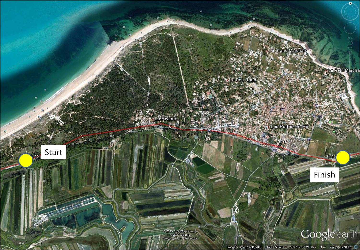
map showing distance travelled … the rectangular salt ponds on Ile de Re are visible (map from Google Earth)
~
On this second-to-last day of my virtual travels through France, I found a mystery. The disadvantage of travelling far away from the images you see is, you can’t stop and ask when you see something you don’t understand. As I drove along the salt ponds dominating the eastern part of Ile de Ré, I saw a circular structure. It was corral-like and at first I thought it must be a corral for a horse. But, closer observation suggests another purpose …
~

circular ‘corral’ … click the photo to enlarge and see the internal mechanism … rectangular salt ponds are visible in the background (image from Street View)
~
The clues are these:
1. the structure is circular
2. a fence surrounds the structure, suggesting need to contain an animal or something else
3. on second look, the fence is more like a wall, perhaps able to contain some substance, perhaps even a liquid
4. a horse trailer is parked in the yard
5. a grass-free track surrounds the structure
6. the corral is not empty, but contains a complex structure, including an elevated ‘pipe’ near the middle, and two long horizontal poles supported by wires
7. at the end of each pole is a flat, paddle-like structure
~
I have a theory about this mysterious device. I think it is a horse-driven mechanism for collecting salt.
~
My theory: salt water is pumped into the structure, a horse is used to turn the paddles through the water and salt is collected on the paddles.
~
Although I searched on the Internet, I could not find any reference to this method of collecting salt.
~
On Ile de Ré, salt is typically collected from large rectangular salt ponds called ‘pans’. The salt is formed as the sun and wind ‘lift’ the salt from the water. The collection process is very labour-intensive. People stand on the narrow grassed dividers between ponds and ‘rake’ the fleur de sel (top layer of crystallised salt), collecting it into large salt piles. Fleur de sel is more expensive than table salt because of the complexity of the harvest. It is often sold in jars, is moist and contains sand which gives it a grey color. Some Ile de Ré salt has a pink tint, from its phytoplankton content!
~

~
Do you know what the circular corral is used for? Do you think I have solved the mystery???
~
Best View: a house covered with white roses …
~
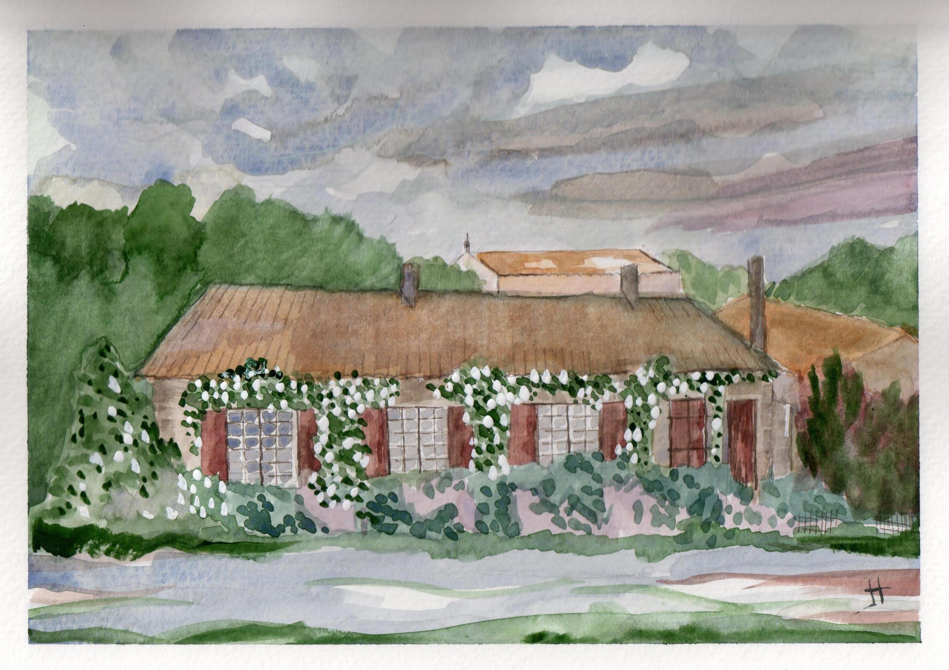
June 25, 2013 ‘house with white roses’ Jane Tims
~
Copyright 2013 Jane Tims
forested dunes 6-12
~
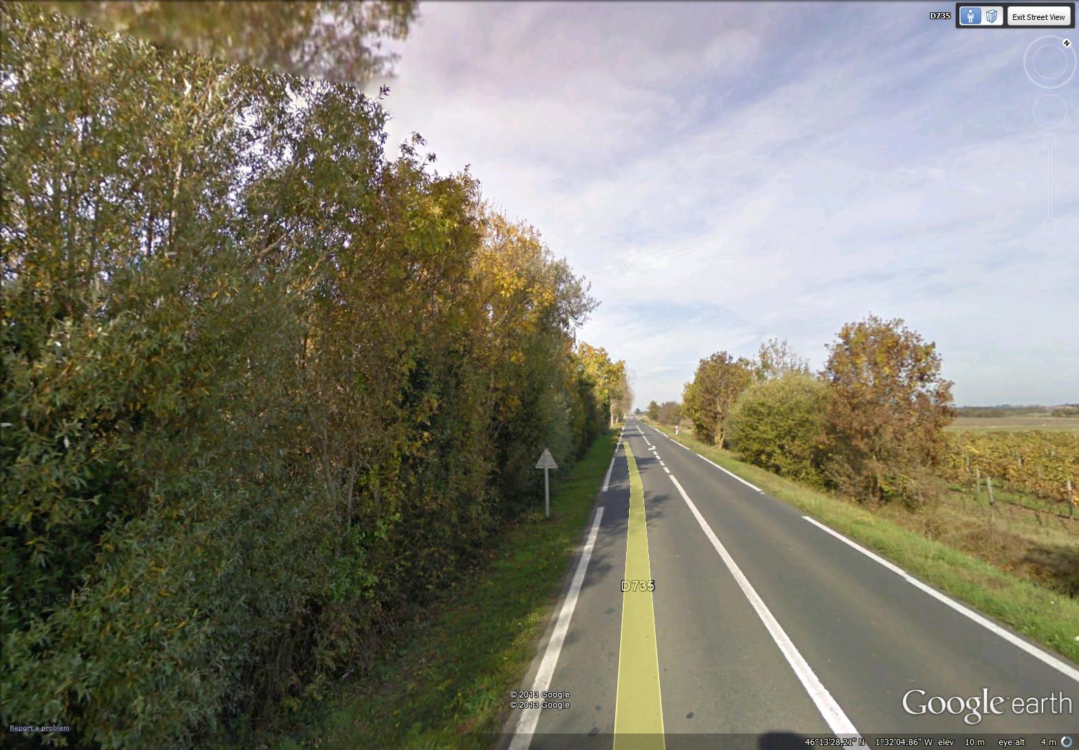
long empty roads (image from Street View)
~

~

~
My virtual bike trip on day 12 of Phase 6 took me along a very uninteresting length of highway. Other, more interesting roads showed on the map, but Street View just didn’t go there. The houses along the way were screened by long stretches of walls …
~

miles of walls (image from Street View)
~
Sometimes the walls were covered in graffiti …
~

miles of graffiti-covered walls (image from Street View)
~
When I turned to travel along the beach, the first house I saw was a charming cottage named ‘Solitude’ …
~
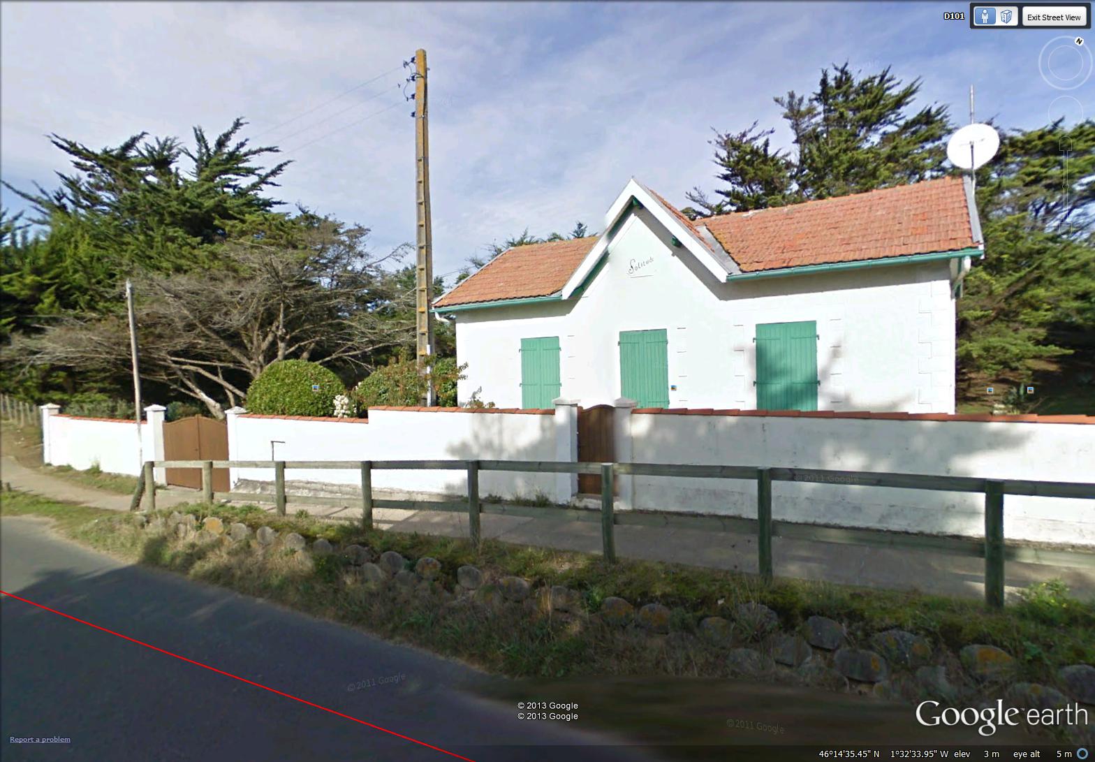
cozy cottage named Solitude (image from Street View)
~
The rest of the route along the beach was obscured by trees. Although it meant I couldn’t see the beach, a forested dune is actually an environmental goal. There is lots of evidence that the eventual natural state of a dune is forest. In New Brunswick, we have only three forested dunes. Usually erosion of the grassed dune occurs long before forest is able to establish itself …
~

forested dune along the north shore of Ile de Ré (image from Street View)
~
Best View: a view across the salt marsh ponds near Le Gillieux ….
~

June 25, 2013 ‘salt marsh on Ile de Re’ Jane Tims
~
Copyright Jane Tims 2013
seaweed for gardens and vines for trees 6-11
~
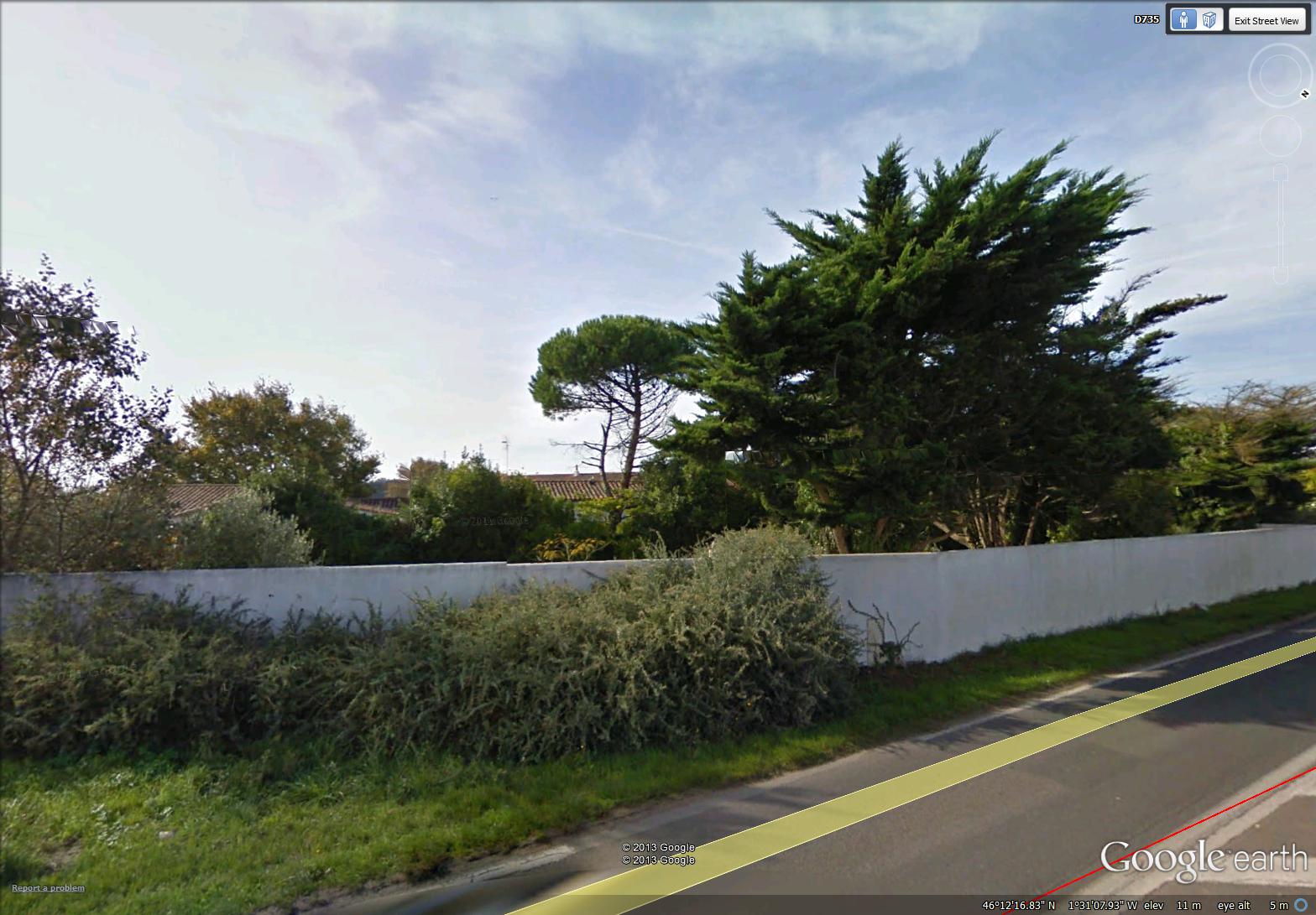
greenery in a walled yard (image from Street View)
~

~

map showing distance travelled (map from Google Earth)
~
I am nearing the end of Phase 6 of my virtual cycling trip through central France, but I am seeing so many interesting things, it is hard to look forward to the end. Today I saw a man digging seaweed into his garden. He had spread the seaweed uniformly across his garden and was slowly digging it into the soil …
~

man digging seaweed into the garden (image from Street View)
~
I am interested in gardening, so of course, I stopped to talk …
Jane: Bonjour. ‘Qu-est-ce que vous ajoutez au jardin???’ (‘Hello! What is it you are digging into your garden?’)
Gardener: ‘Bonjour. Ce sont des algues marines! Il sont très bon pour le sol.’ (‘Hello. I am adding seaweed. It is very good for the soil.’)
Jane: ‘Bon pour le sol? C’est vrai?’ (‘Good for the soil. Is that true?’)
Gardener: ‘Mais oui! Ils ajoutent la nourriture et les matières organiques aux sol!’ (‘Of course! They add nutrients and organic matter to the soil!’)
Jane: ‘D’où est-ce que vous avez obtainer ces algues marines?’ (‘Where did you get the seaweed?’)
Gardener: ‘Ah, juste à côté de l’ocean! Ils ne coûtent rien!’ (‘Ah, just by the ocean!’ It’s free!!!’)
~
Using seaweed on gardens is common on this side of the Atlantic Ocean also. For example, in his book Vineyard Chill (Scribner, New York, 2008), Phillip R. Craig opened his mystery novel with a family going to the beach to gather seaweed for their garden on Martha’s Vineyard.
~
There was lots of evidence of gardening and green thumbs on this part of my bike drive across Ile de Ré …

greenhouses on Ile de Ré (image from Street View)
~
Best View: old trees, their trunks covered with vines (I loved doing this watercolor so much, I tried three versions) …
~
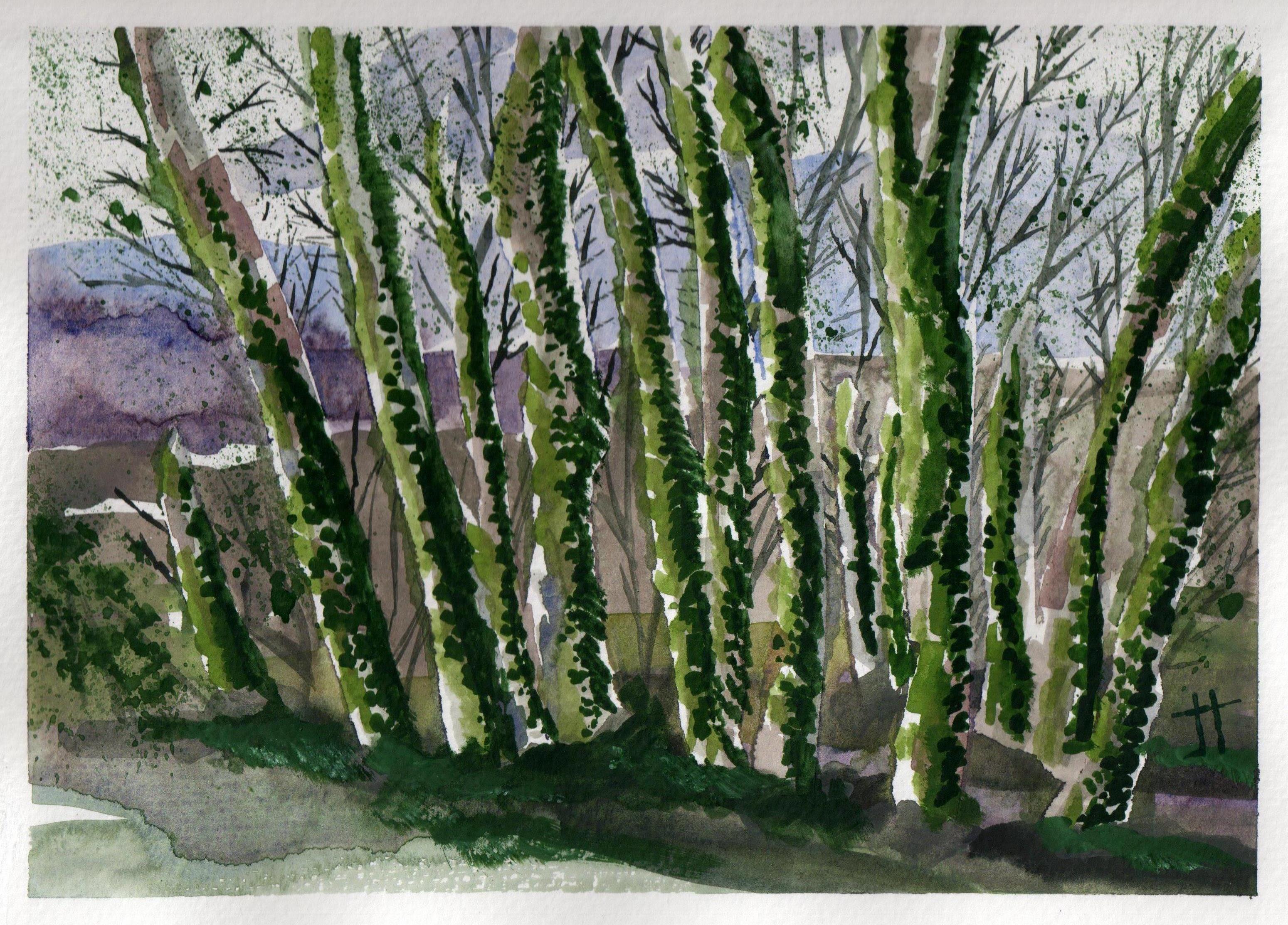
June 17, 2013 ‘vine-covered trees #1’ Jane Tims
~

June 17, 2013 ‘vine-covered trees #2’ Jane Tims
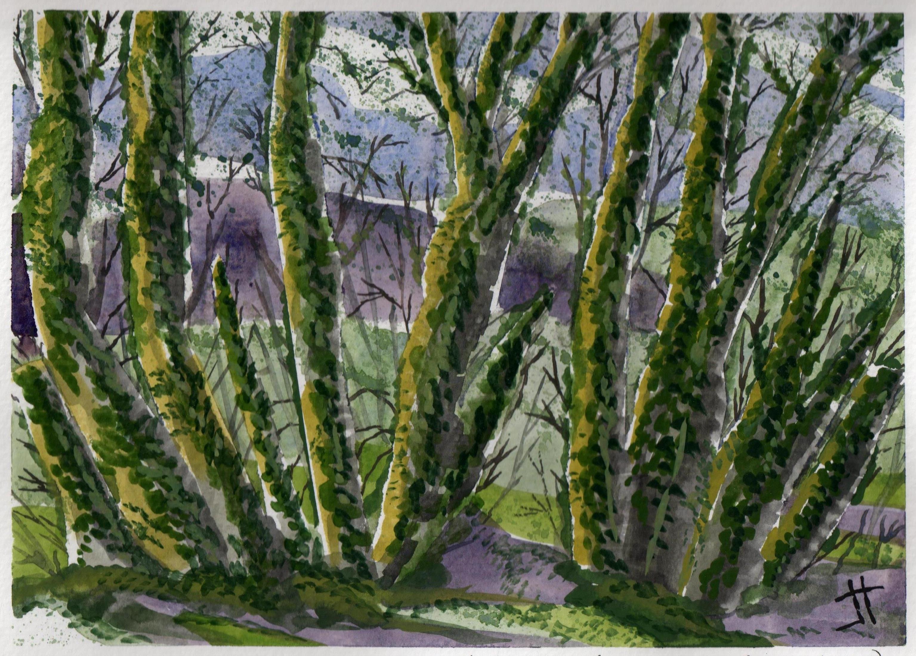
June 18, 2013 ‘vine-covered trees #3’ Jane Tims
~
This is the view that inspired the paintings …
~

vine-covered trees (image from Street View)
~
Copyright Jane Tims 2013
trying to glimpse the beach 6-10
~

pines inland of beach on Ile de Ré (image from Street View)
~

~
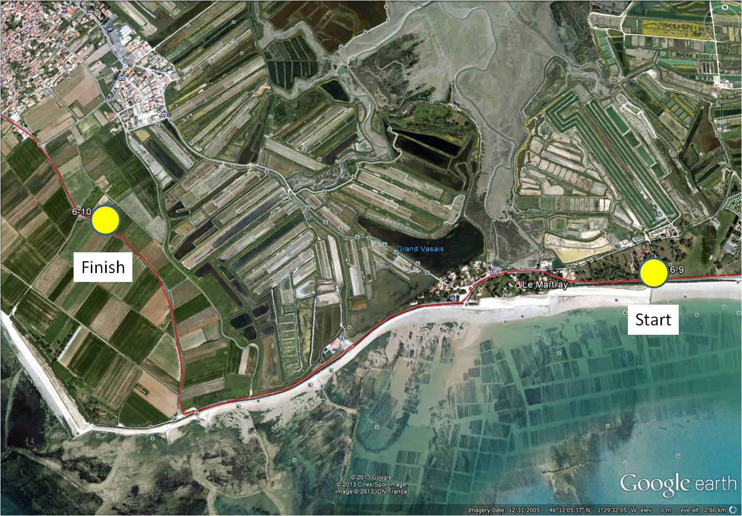
map showing distance travelled (map from Google Earth)
~
Biking from one town to the next on Ile de Ré, I know the beach and the ocean are just ‘over there’, but a berm, a dune and a sea-wall prevent any good views …
~
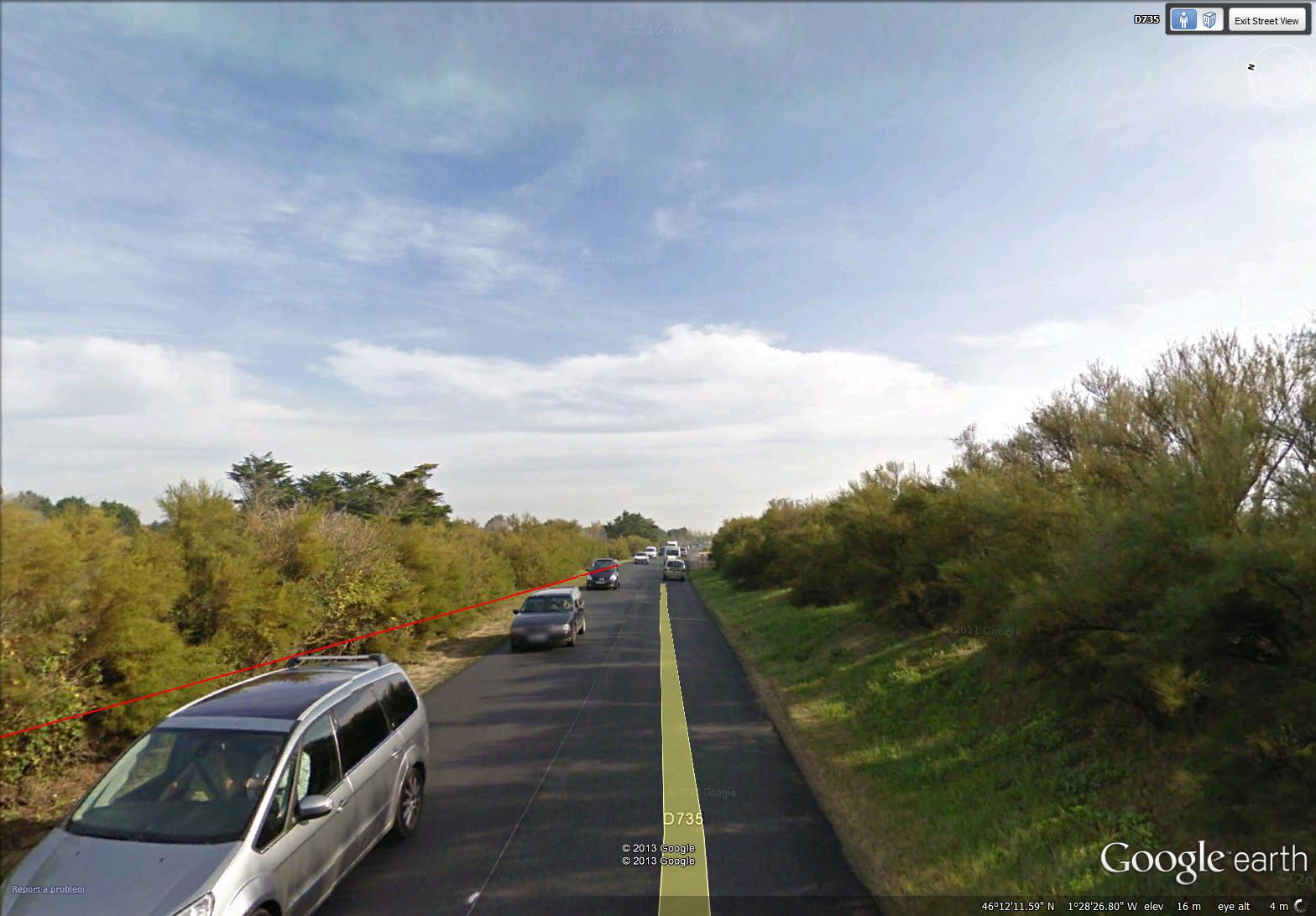
road along beach near Le Martray on Ile de Ré – beach is across the berm to the right (image from Street View)
~
Once in a while, I catch a glimpse of the beach through a private yard …
~
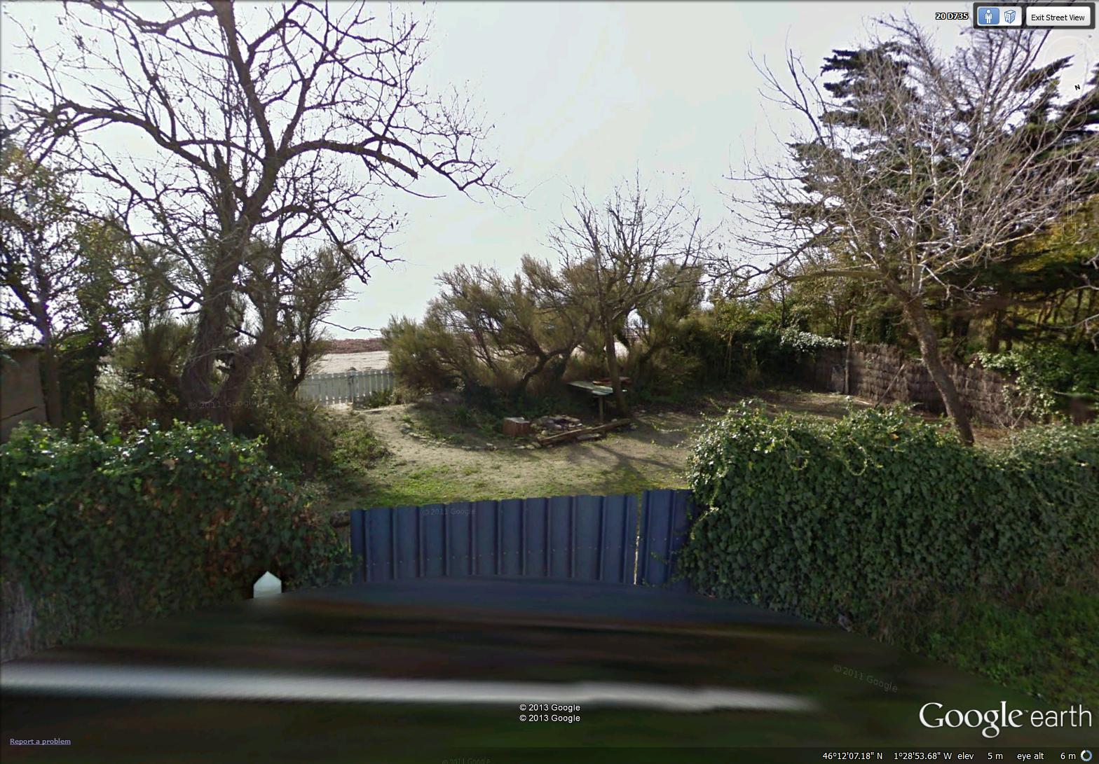
glimpse of beach (image from Street View)
~
On the right side of the road, facing inland, I have excellent views of the salt marsh …
~

salt marsh (image from Street View)
~
A large area of these marshes are dedicated to producing salt …
~
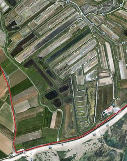
map showing rectangular salt reclaiming areas (map from Google Earth)
~
I also see the extensive vineyards I have encountered elsewhere on the island …
~
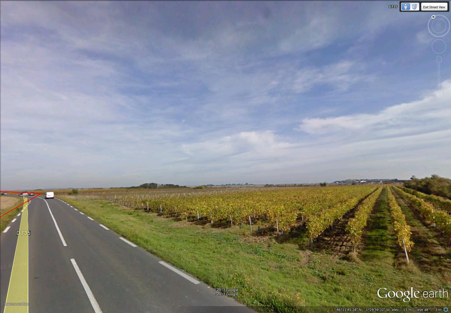
rows of vines in vineyards near Ars-en-Ré (image from Street View)
~
Best View: grapes ripe on the vine …
~

‘grapes’ June 5, 2013 Jane Tims
~
Copyright Jane Tims 2013
side roads 6-9
~
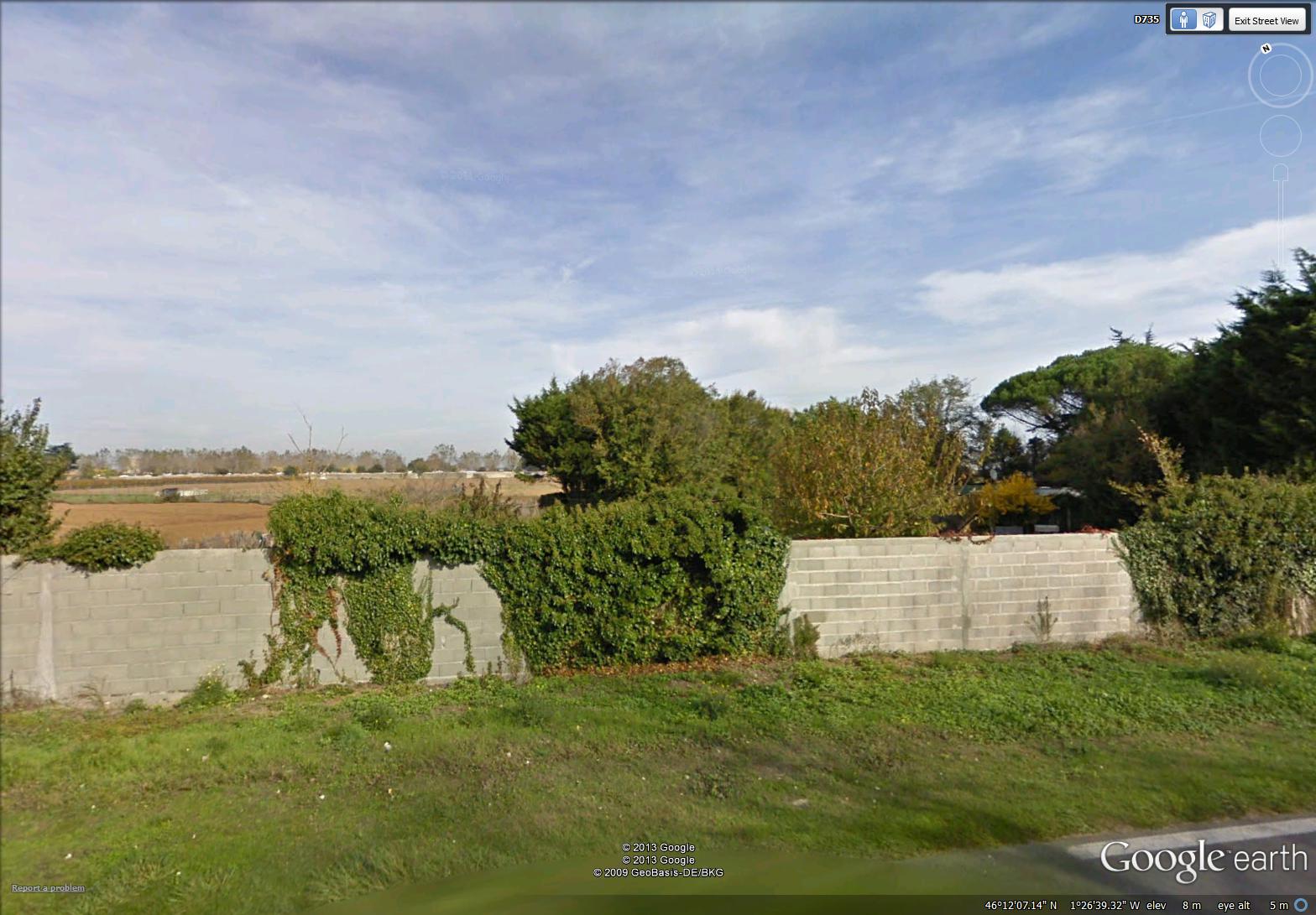
vines on a wall near La Prises (image from Street View)
~

~
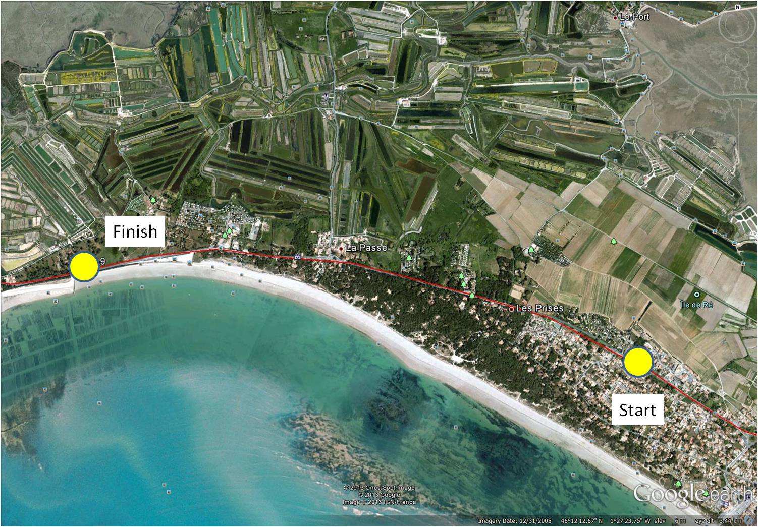
map showing distance travelled (map from Google Earth)
~
Any time we go for a drive in the countryside, I always wonder where the side roads lead. It is the same on my virtual bike trip in France. One of the limitations of virtual travel is that I cannot just get off my bike and walk down an interesting side road.
Sometimes Street View gives a very good idea of what I would find if I walked down one of those roads. Perhaps a mansion and beautifully kept grounds …
~

beautiful grounds (image from Street View)
~
Sometimes the way is mysterious and I can only imagine what must lie beyond the view …
~
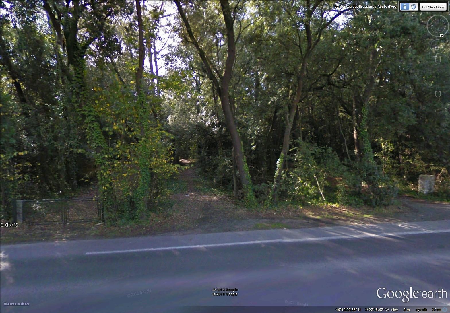
two side roads, side by side (image from Street View)
~
Sometimes there is just a glimpse of a yard or a house …
~

I wonder what lies beyond the white gate (image from Street View)
~
Sometimes I know that beyond my view is a broad beach of white sand and the sound of the ocean …
~
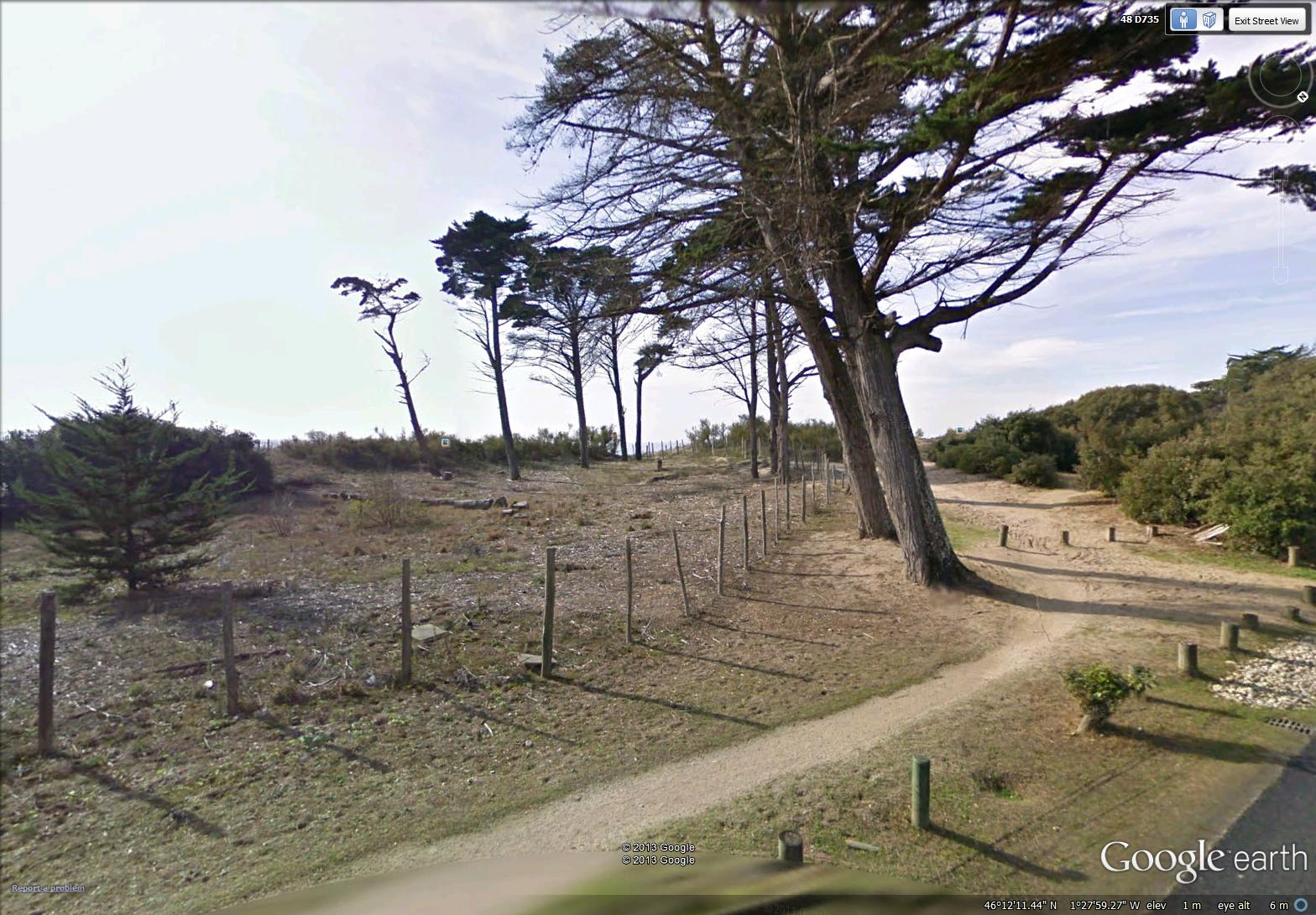
access to the sea near La Passe (image from Street View)
~
Best View: side road behind a white gate …
~

June 13, 2013 ‘road beyond the gate’ Jane Tims
~
Copyright Jane Tims 2013
ruins by the road 6-8
~

a ruin near Saint-Martin – this wall was put to use as a community event poster – first to announce a circus and then to tell about a sale of second hand items (image from Street View)
~
 ~

map showing distance travelled (map from Google Earth)
~
The Ile de Ré has a long history. It is not surprising to see ruins along the way. Some, like the abbeys I have seen, have been restored. Others, probably on private land, are left to the sun and the rain …
~

a ruin of a building and wall (image from Street View)
~
Sometimes, the ruin is part of an old property wall …
~

part of an old wall (image from Street View)
~
It is hard to believe that some of these walls, hundreds of years from now, may only exist as ruins …
~

a wall covered with vines (image from Street View)
~
Best View: a deserted stone building beside the highway …
~

‘overgrown’ June 6, 2013 Jane Tims
~
Copyright Jane Tims 2013
donkeys and a walled town 6-7
~

walls of Saint-Martin (image from Street View)
~

~

map showing distance travelled (map from Google Earth)
~
My virtual bike trip on June 3 began with a surprise. Along the busiest part of the road, not far from the gates to the walled town of Saint-Martin, cars were stopping along the road to see a herd of donkeys! …
~

donkeys near Saint-Martin (image from Street View)
~
A herd of donkeys were also huddled near the moat around Saint-Martin …
~

a herd of donkeys near the entrance to Saint-Martin (image from Street View)
~
Although I didn’t travel into the town (no Street View), a bit of looking at some of the images on Google Maps showed a town of narrow cobblestone streets and a beautiful harbour area …
~

entrance to walled town of Saint Martin (image from Street View)
~
The map below shows an aerial view of the town, and the citadel to the right …
~

map of Saint-Martin (map from Google Earth)
~
In the country-side to the west, there are acres of vineyard …
~

vineyard near Saint-Martin – the poster on the ruin across the road announces an antique sale! (image from Street View)
~
and more acres of vineyard … the Internet tells me that this is part of the Pays Charentais, producing mostly white table wines …
~

future bottles of wine (image from Street View)
~
Best View: a building along the road to Saint-Martin-de-Ré … more watercolour work …
~

June 3, 2013 ‘on the road to Saint-Martin-de-Ré’ Jane Tims
~
Copyright Jane Tims 2013
a citadel and a walled town 6-6
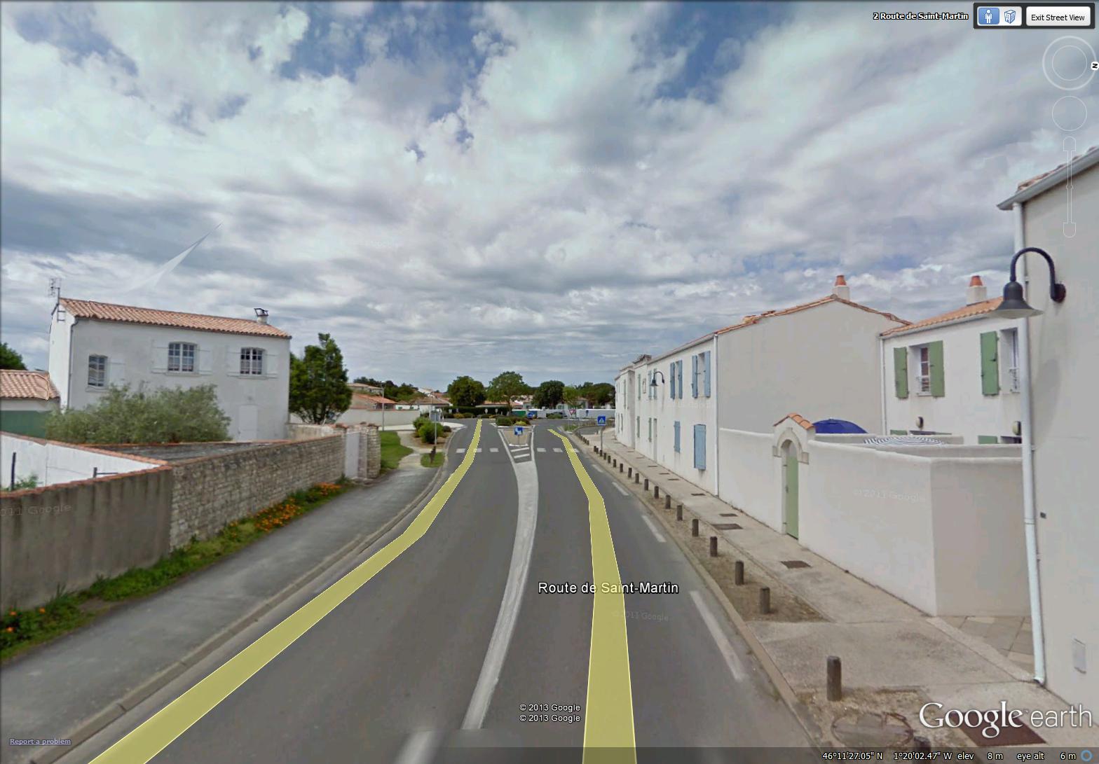
bright whites and blue-greens near Saint-Martin (image from Street View)
~

~
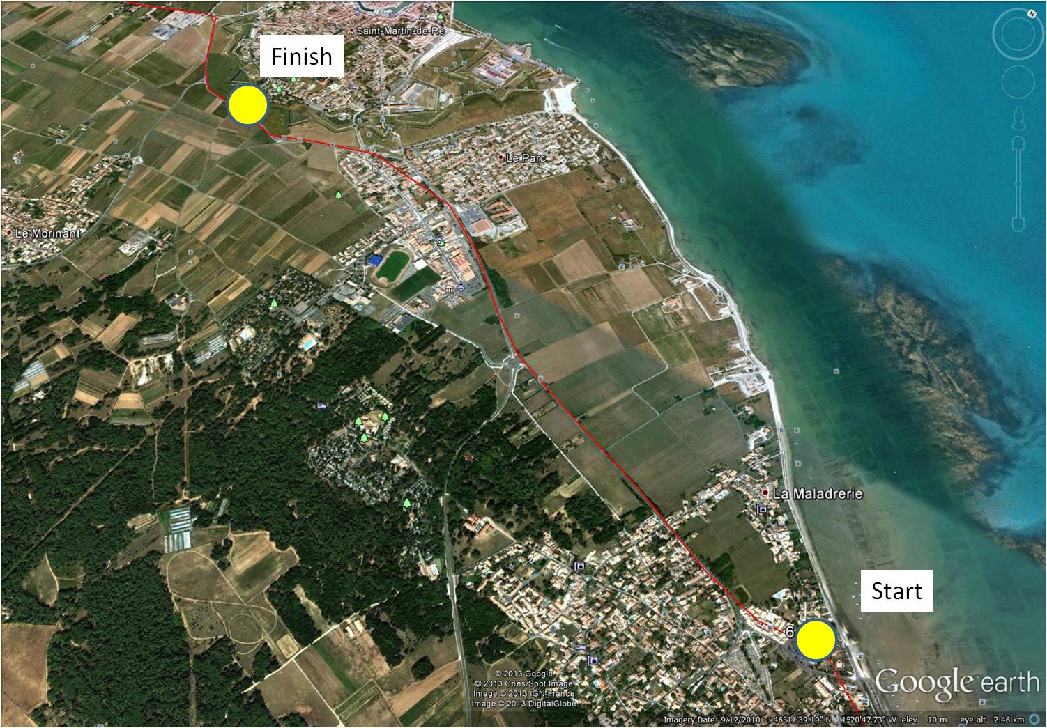
map showing distance travelled (map from Google Earth)
~
Another day on the flat, flat island of Ré. I saw more poppies …
~

poppies in a field near Saint-Martin (image from Street View)
~
huge vineyards …
~
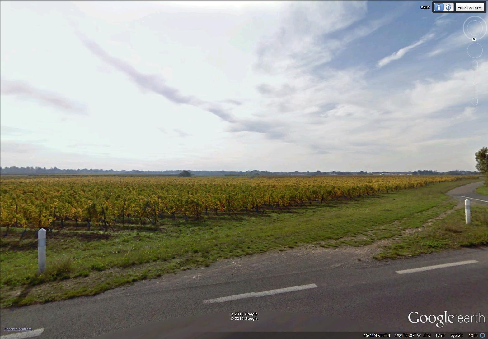
a large vineyard (image from Street View)
~
and more vineyards …
~

a vineyard near Saint-Martin (image from Street View)
~
Although Street View doesn’t allow too close a look, I reached the fortified town of Saint-Martin-de-Ré. The major feature was the wall, around the citadel …
~

white wall around citadel at Saint-Martin (image from Street View)
~
and enclosing the town of Saint-Martin …
~

walled town of Saint-Martin (image from Street View)
~
Ile de Ré has been of strategic importance throughout history and is extensively fortified. This includes the citadel at Saint-Martin-de-Ré which was built around 1620 during the Wars of Religion to protect Catholic Saint-Martin from the Protestant population of La Rochelle. The Citadel was also used as a prison in the 18th and 19th centuries …
~

map of citadel (map from Google Earth)
~
On my next bike trip, I’m looking forward to a closer look at the walled town and its population of donkeys!
~
Best View: a courtyard in La Flotte, and some practice with my watercolours …
~
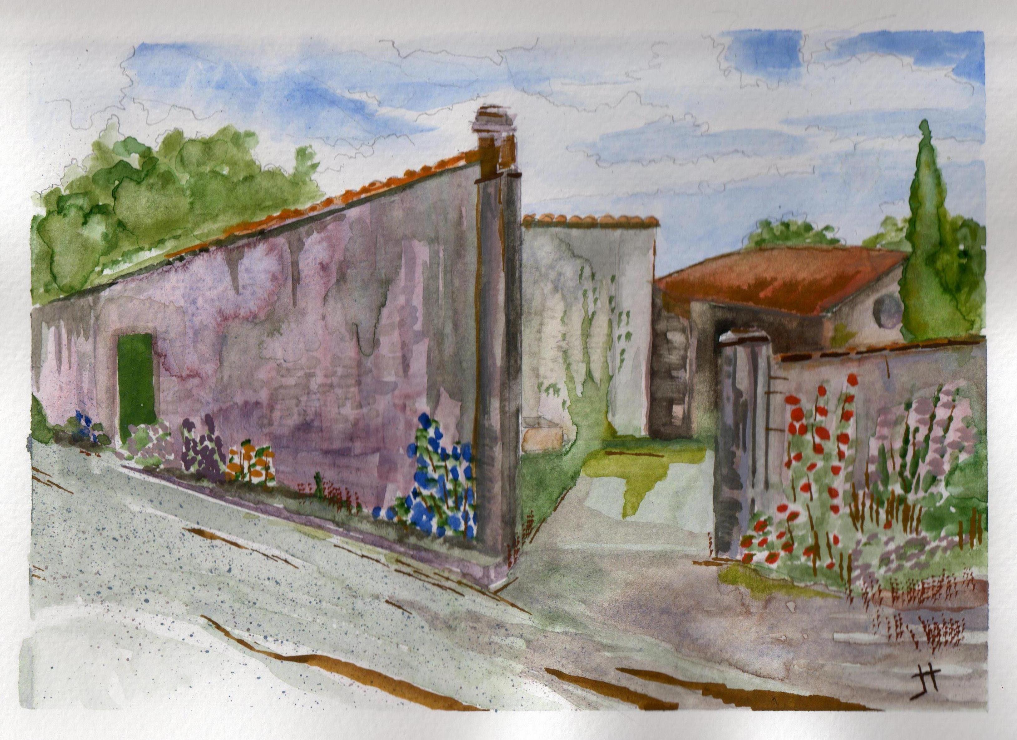
May 28, 2013 ‘walled courtyard in La Flotte’ Jane Tims
~
Copyright Jane Tims 2013
a walk along the quay 6-5

quay at La Flotte (image from Street View)
~

~
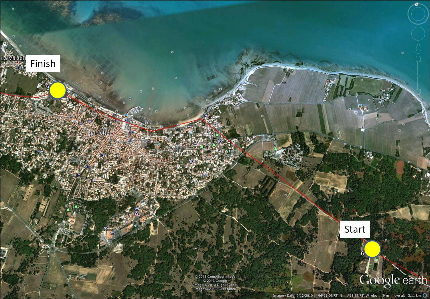
map showing distance travelled (map from Google Earth)
~
At last, vineyards! My virtual bike trip along the coast of Ile de Ré on May 27 took me past some beautiful vineyards …
~

to the right, the Abbaye des Chateliers (image from Street View)
~
In the distance, I could see the ruin of the Abbaye des Châteliers. Many of the images available for the abbey show fields of poppies – as I ‘drove’ by, a tractor was preparing the soil for the next round of bloom!
~
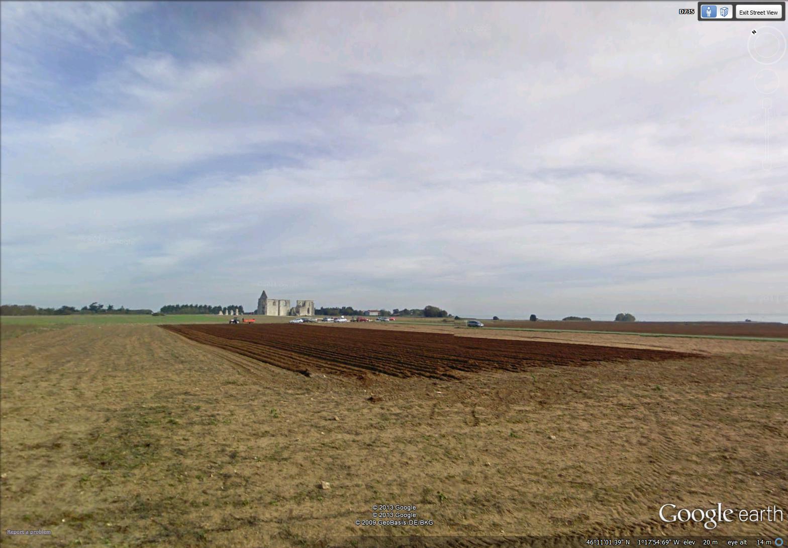
preparing a field for next season’s poppies (image from Street View)
~
The establishment of the abbey dates to 1150 although the exact date is unknown. The abbey was demolished and rebuilt several times … today’s ruin is 16th century. The facade of the church is almost intact, and shows the ornate enclosure of the huge windows. It was fun to explore, although in reality I was at a computer rather than admiring the stone walls in person. For more information on the Abbey, see http://www.patrimoine-histoire.fr/Patrimoine/IledeRe/Ile-de-Re-Abbaye-des-Chateliers.htm
~
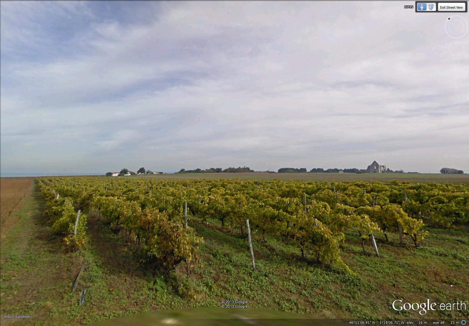
vineyard with church ruin in distance (image from Street View)
~
The town of La Flotte was charming and very old. There were so many green shutters, I think they must be legislated in the town ordinance …
~
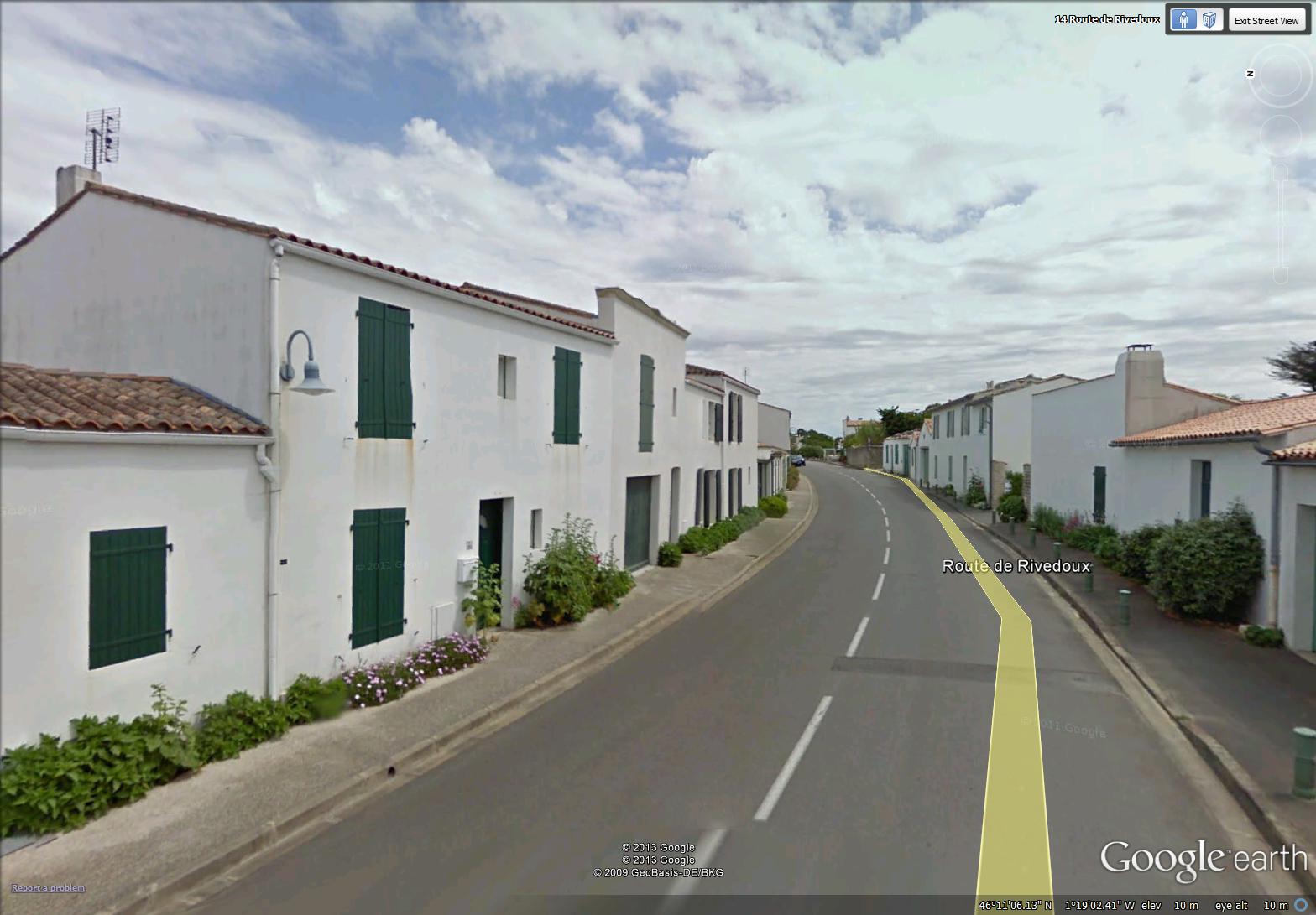
street in La Flotte with plantings and green shutters (image from Street View)
~
Flowers were planted everywhere along the street …
~

the edge of the wall along the street in La Flotte was planted with different types of flowers in bloom (image from Street View)
~
I thought the quay in La Flotte was inviting and sunny, the quinessential opportunity to wander along the dockside buildings and have a drink at one of the tables overlooking the harbour …
~

the quay in La Flotte (image from Street View)
~
Best View: a blue gate outside La Flotte … and my first effort at line and wash watercolor …
~

May 27, 2013 ‘blue gate near La Flotte’ Jane Tims
~
Copyright Jane Tims 2013