Archive for the ‘my exercise plan’ Category
a ford in the river 5-3
~

houses in Le Gué d’Alleré (image from Street View)
~
~

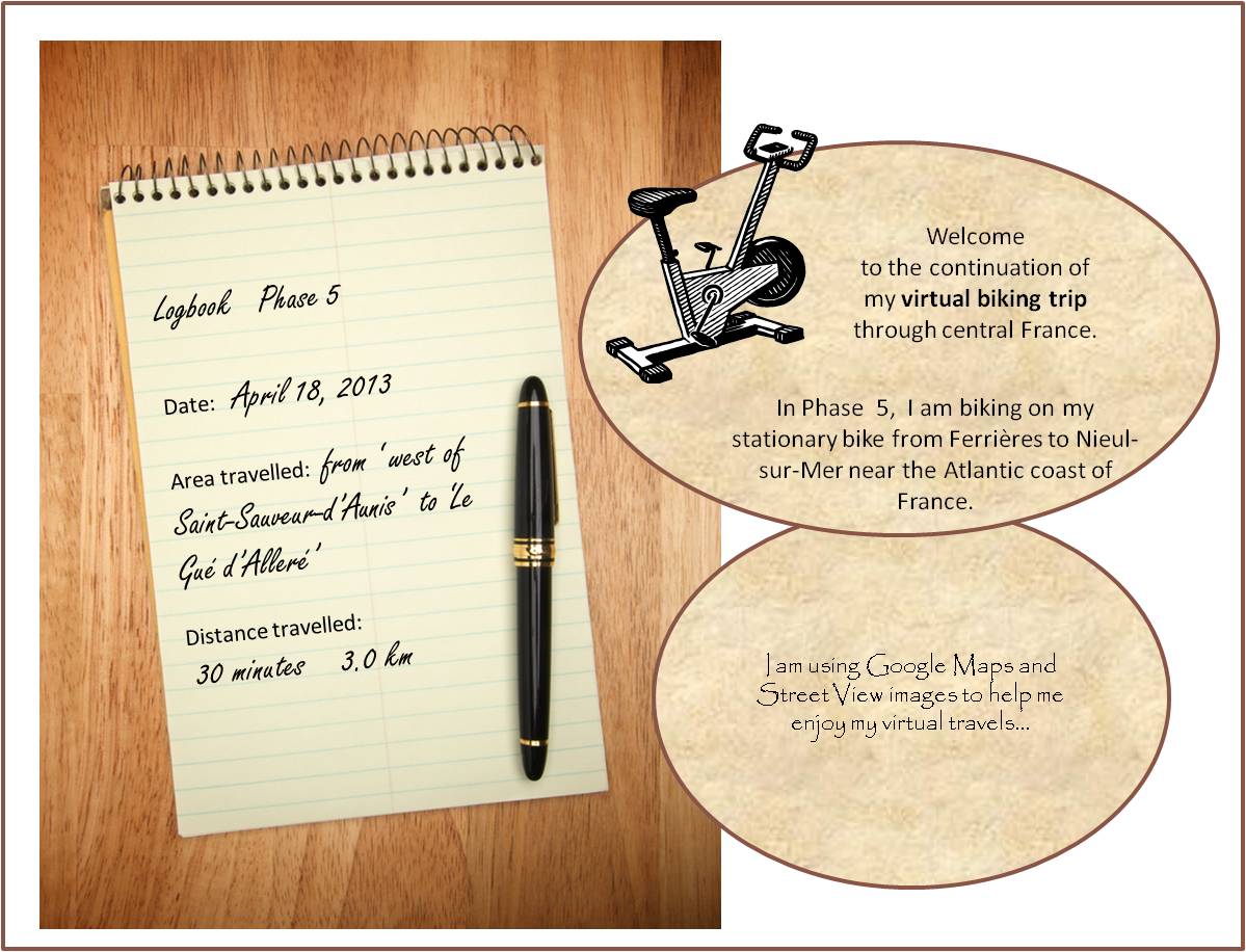
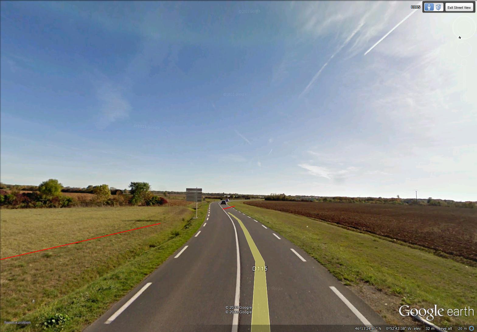
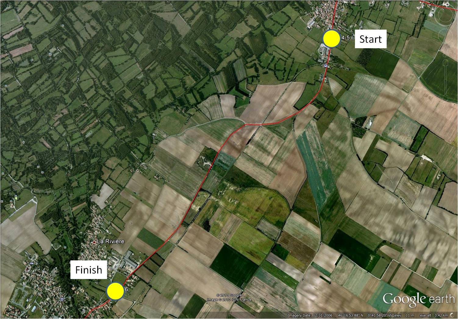
map showing distance travelled (map from Google Maps)
~
April 18’s virtual bike ride took me through the town of Le Gué d’Alleré. A ‘gué’ is a place on a river where the water is shallow enough to allow easy passage, in other words, a ford.
The river in Le Gué d’Alleré was so shallow, it had no water at all. I know this river sometimes holds water since there is an image embedded in Street View showing the river full of water!
~

river in Le Gué d’Alleré (image from Street View)
~
When I was young, we often visited my grandfather’s farm in Nova Scotia. One of the places I remember well was the ford across the stream at the end of his road. The water was shallow at this spot and people from the community would bring their cars to the ford to wash them. It would not have been good for the environment. Soap suds and leaking oil and gasoline would pollute the downstream water, probably harming the aquatic life, including the fish people liked to catch.
~
~
ford
~
at the intersection
of the lane and the County Road,
a ford crossed the stream–
flat stones and riffles
~
in the shade of serviceberry and maple
we watched as distant cousins
washed their cars,
all suds and Daisies
~
then took clean cars
further down the road
(further down the stream),
for an hour of fishing
~
~
~
Best View: an image from my memory …
~

~
Copyright Jane Tims 2013
back streets, alleys and dead ends 5-2
~

back street in Saint-Sauveur-d’Aunis (image from Street View)
~
~

map showing distance travelled (map from Google Maps)
~
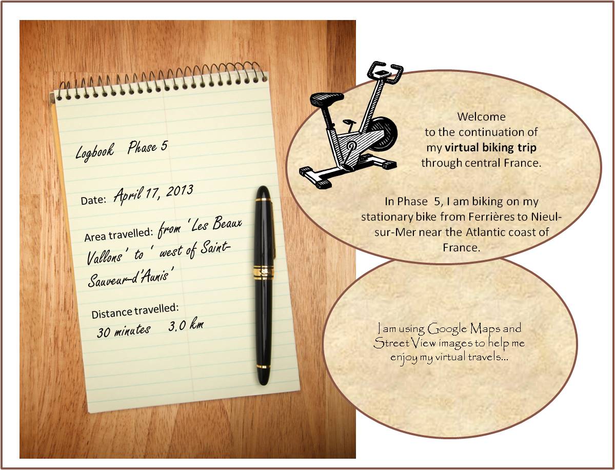
On the second day of Phase 5 of my virtual bike trip toward the Atlantic coast of central France, I think I was on every possible type of road. I began on the highway and almost immediately decided it was too boring …
~
~
At the next turn, I took a detour into the village of Saint-Sauveur-d’Aunis. With its charming yards and flower gardens, it was much more interesting …
~

charming yard in Saint-Sauveur-d’Aunis (image from Street View)
~
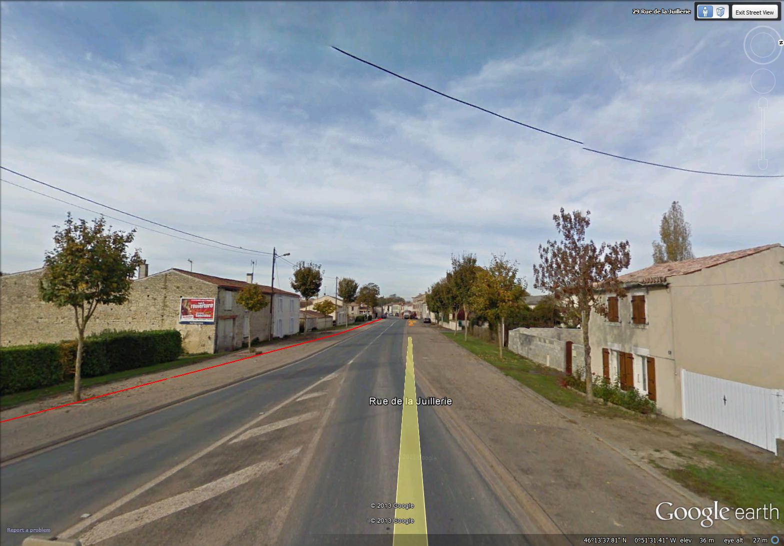
Once I had peddled into the village as far as possible, I turned into a narrow side street. I tried hard not to peek into the windows as I drove by …
~

side street in Saint-Sauveur-d’Aunis (image from Street View)
~
Everywhere in France I have encountered side roads labelled ‘Impasse de … ‘. When I saw ‘Impasse du Moulin Corneau’ in Saint-Sauveur-d’Aunis, I looked up the word and found ‘impasse’ means ‘dead end’ or ‘blind alley’ …
~

Impasse du Moulin Corneau, meaning ‘Corneau Mill Dead End’ (image from Street View)
~
In another part of the village, I saw an alley running between adjacent houses. In fact, it was not an alley at all, but access to a house set far back from the main street. Where I lived as a child, our street had a back alley. It was very convenient, used for garbage pick-up and to access the rear of our property. Back alleys are almost non-existent in our towns in New Brunswick. I think they are considered a waste of land, but, in fact, they serve a useful purpose …
~
")
narrow alley in the village of Saint-Sauveur-d’Aunis (image from Street View)
~

back alley behind the house where I grew up … when I lived there, the back alley was not paved … I used to skip beside the power pole to the left (image from Street View)
~
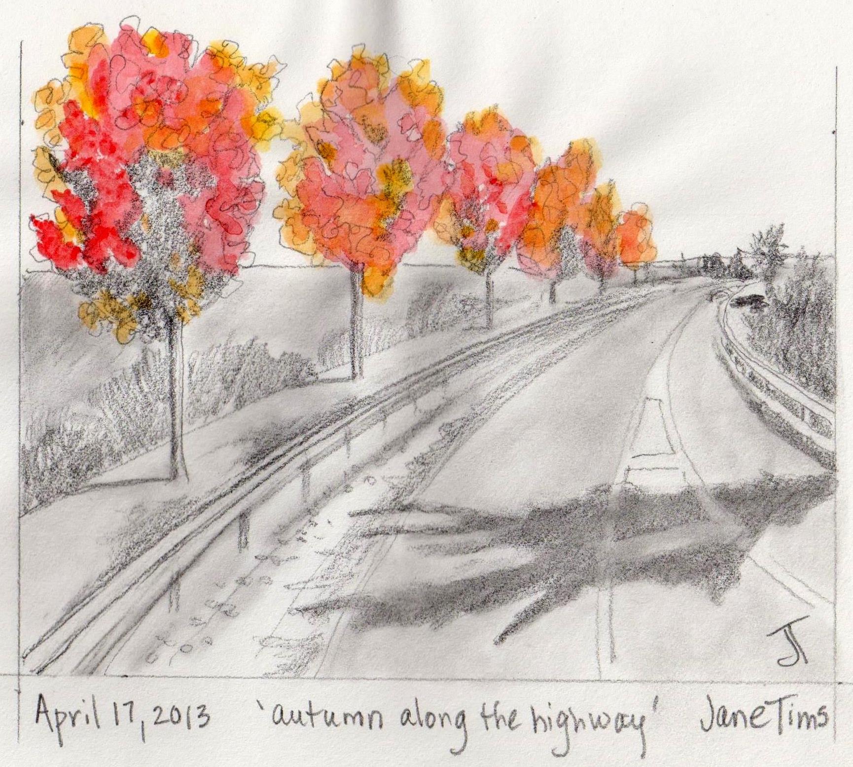
Best View: trees in autumn splendor beside the main highway …
~
~
Copyright Jane Tims 2013
more encounters with poppies 5-1
~

houses in the town of Ferrieres – shutters and white curtains (image by Street View)
~

~

map showing distance travelled (map from Google Maps)
~
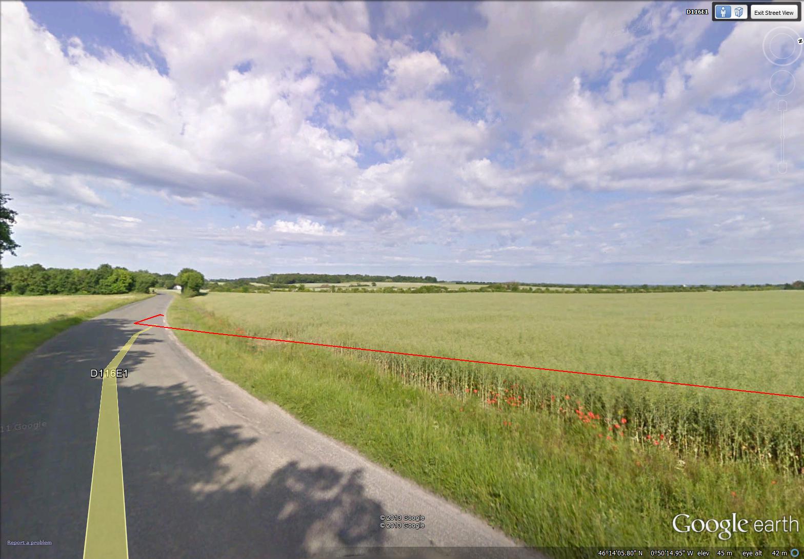
On my virtual bike trip on April 15, I cycled through the countryside to the east of the town of Ferrières. It seemed to take forever to reach the first corner in the road. This part of France is very flat and you can see what is ahead of you for miles …
~

~
When I reached the corner at last, I was so happy …
~
~
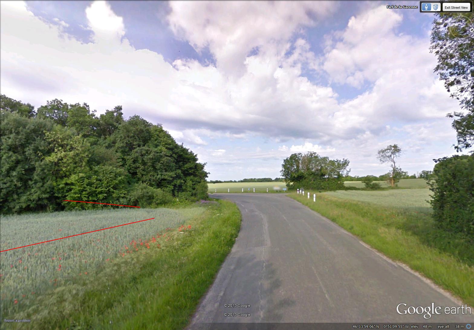
I could see poppies in the ditch at the edge of the grain field, so I looked back and saw the closest thing yet to a whole field of poppies. If you Google images for ‘field of poppies’, you will see some beautiful examples of the many poppy fields in France. Sparse though it was, this is the best field of poppies I have ever ‘seen’ …
~

a field of poppies and grain – most of the poppies are along the road or deep in the field just left of center (image from Street View)
~
Afterward, I followed my poppy-colored bike path into the town of Ferrières. This town seems to have more space than other towns I have ‘visited’ in central France …
~
~
I must have been tired during my bike trip, because it was very hard not to stop and buy a scooter or motorbike at the roadside dealership …
~
~
This is the first day on my virtual bike trip that I have been tired and not very motivated. I know from previous bouts of exercise that quitting can be far too easy.
Since I began my stationary cycling trip ‘through’ central France, I have kept at it for two and a half months, exercising once in every two or three days.
I have been motivated by a number of things: looking forward to my next virtual adventure, reporting on my Blog about my progress, and choosing a subject and doing my pencil drawing.
I am also newly encouraged by my last blood work which shows both my cholesterol and my triglycerides considerably improved. So today, I am heading back down to my tiny exercise room to see some new sights in central France. Perhaps there is a huge field of poppies just around the corner!!!!
~
Best View: shade along the country road…
~

~
Copyright Jane Tims 2013
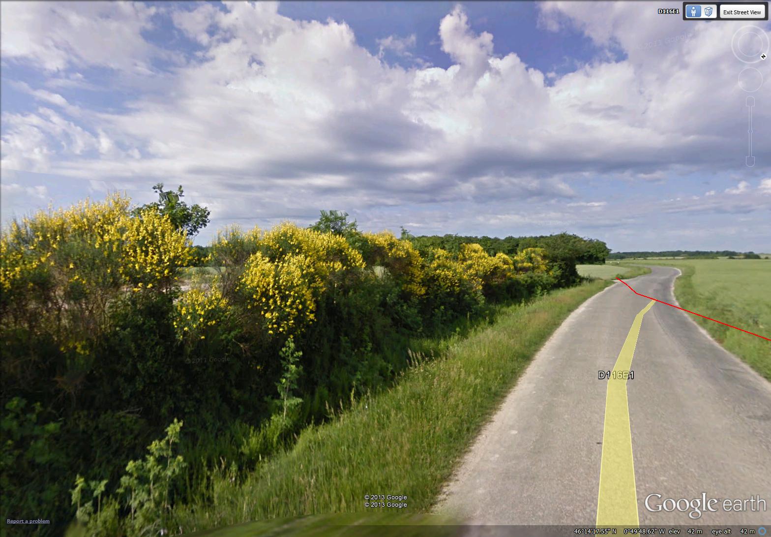
wildflowers along the road
~

~
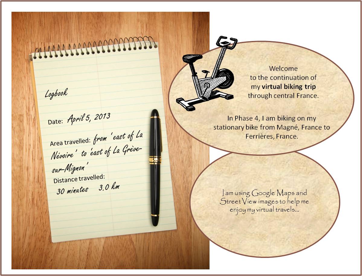
I have completed Phase 4 of my virtual bike ride through France! My entire ride (Phase 1, 2, 3 and 4) since January 30, 2013 has taken me from Lusignan to Ferrières for a total of 116 km or 1155 minutes (19.2 hours).
~

~
The last bike ride of Phase 4 took me through the countryside east of Ferrièrres …
~

~

~
The theme seemed to be one of wildflowers. I saw Queen Anne’s Lace, Fireweed, and, best of all, Poppies, along the edge of the fields …
~
~
I also saw a roadside shrub in yellow bloom. Since the images were taken in May, I think these flowers were Gorse …
~
~
I also saw a flock of sheep grazing in a pasture …
~

~
Best View: a flower garden in Courçon …
~
 ~
~
For Phase 5 of my trip, I plan to cycle from Ferrières to Nieul-sur-Mer, near the Atlantic Coast of France. Hope you will stay with me on my journey!
~

~
Copyright Jane Tims 2013
lamposts and wirescape
~

lovely lampposts in Angire (image from Street View)
~

~

map showing distance travelled (map from Google Maps)
~
On my virtual bike trip on April 8, I was impressed with the beautiful lampposts in Angiré …
~

streetscape and lamposts in Angiré (image from Street View)
~
French villages have their share of lampposts, telephone poles and wires. ‘Wirescape’ is such a normal part of life, I don’t usually see it at all. But, just look up …
~

wirescape back in Magne (image from Street View)
~
Years ago, I took a landscape evaluation course in university, and as an idealistic student, I was quite negative about the wires and poles that clutter our landscape views. I have mellowed, though, and now I wonder if wires above us help to enclose us and make us feel safe in our urban environments. Perhaps wirescape will gradually disappear as our technology becomes more wireless.
~

wirescape near Saint-Sabine (image from Street View)
~
Best View: intersection – blue shutters and blue sky, no overhead wires …
~

~
Copyright Jane Tims 2013
sculpting land and trees
~

sculptured trees in La Grève-sur-Mignon (image from Street View)
~
~

map showing distance travelled (map from Google Earth)
~
During my virtual travels in France, I have noticed the way nature has been modified to suit people. We do this in North America too, pruning trees to take elaborate shapes, pulling weeds and planting domesticated plants, modifying the edges of lakes to be more ‘beach-like’, straightening watercourses, and so on.
~
In France, I have particularly noticed how canal-like the watercourses are in the area of La Venise Verte. This is a result of the area’s history. When the marshes of the Marais Poitevin were settled, people needed dry land to farm and live. In the tenth century, there was a huge effort to dig canals and reclaim the land. The result is the canal system I am seeing on my virtual bike ride. The waterways are straight and their banks are steep. Canals intersect at right angles …
~

intersecting waterways (image from Street View)
~
Other elements of the natural landscape are also shaped by human hands. For example, older trees are pruned to take on unnatural shapes. This may be in order to rejuvenate older trees by encouraging new growth. It may also be for aesthetics …
~

some weirdly pruned trees near Balanger
~
A man was out pruning these trees as I ‘drove’ by …
~

man working on trees near Balanger – he has removed all the sucker branches on the tree nearest the camera (image from Street View)
~
I saw some of the most bizarre of these pruned trees in Niort …
~

weird trees in Niort (image from Street View)
~
I have no idea which tree species these are. they could be willow, or even olive …
~
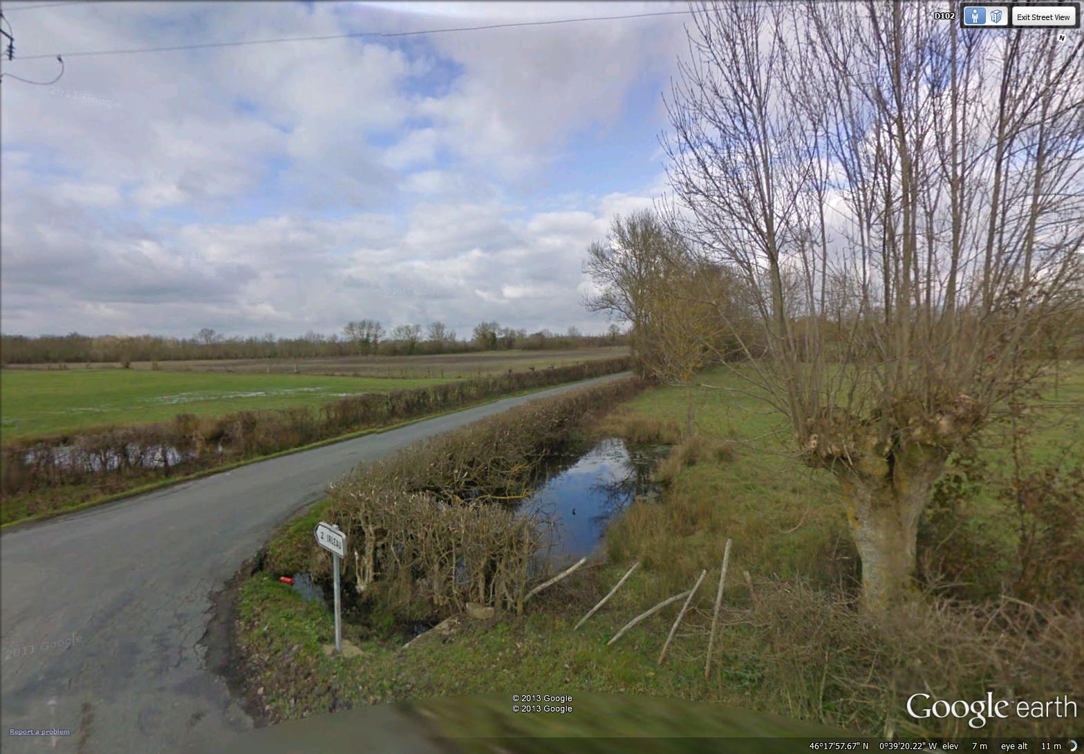
severely pruned tree in rural area near Irleau
~
Do you know which species of tree is being pruned?
~
Best View: pruned trees near La Grève-Sur-Mignon …
~

~
Copyright Jane Tims 2013
bringing nature into the town
~

rows of trees and flowers along la Place de la Mairie in Saint-Hilaire-la-Palud (image from Street View)
~

~

map showing distance travelled (map from Google Maps)
~
On my virtual bike trip on April 3, the images made me think about how we bring nature into our cities and towns (or allow it to stay!). Sometimes, the only bit of nature is a stray weed, growing in a crack in the pavement…
~

streetscape in Grande Rue, Saint-Hilaire-la-Palud – actually, there is lots of greenery in other parts of the town (image from Street View)
~
Sometimes, property owners try to leave trees, only to have them toppled – perhaps a wind storm blew through Saint-Hilaire-la-Palud …
~

toppled tree (image from Street View)
~
Sometimes people bring the country into the town – all part of eating local …
~

this is the first time I have seen chickens in a yard in a town on my virtual bike tour (image from Street View)
~
Of course, I have seen a lot of vegetable gardens in France, planted in every available corner …
~

vegetable garden in Saint-Hilaire-la-Palud (image from Street View)
~
Best View: a small yard overflowing with greenery in Saint-Hilaire-la Palud…
~
~
Copyright Jane Tims 2013
fields of green and marble statues

fields of green on the road to Saint-Hilaire-la-Palud (image from Street View)
~

~
~
On April 1, I biked along the road to La Rivière and Saint-Hilaire-la-Palud. Lots of green fields and flat land …
~

~
At an intersection, I saw a shrine, indicating the strong Catholic roots of the area. I have seen these shrines at several locations in central France on my virtual travels. Sometimes the shrine is a crucifix …
~

shrine on road to Saint-Hilaire-la-Palud (image from Street View)
~
sometimes a statue of Christ …
~

a statue of Christ at corner near La Roche (image from Street View)
~
Sometimes the shrine shows a Saint. In Maillezais is a statue of Mary holding the body of her son Jesus in her lap, after the Crucifixion. It is similar to the famous 15th century statue of the Pietà by Michelangelo…
~

statue in Maillezais of Mary holding Jesus in her lap – the image is not easy to see, but Google ‘Pieta’ to see the beautiful statue by Michelangelo (image from Street View)
~
Best View: entry to a field by a vine-covered building…
~
~
Copyright Jane Tims 2013
a side trip to an old abbey
~

wall around abbey in Maillezais (image from Street View)
~

~

map showing distance travelled (map from Google Maps)
~
On March 29, I completed my side trip to see the Abbaye St Pierre in Maillezais. Maillezais is a charming town with the narrow streets I am growing used to…
~

street in Grande Bernegoue (image from Street View)
~
Not much greenery in this town – this vine looks like it is hanging on by a thread…
~

vine struggling to survive (image from Street View)
~
The Abbey St Pierre was certainly worth the virtual side trip. It was built in 989 AD on an island, a rocky outcrop, in the Marais Poitevin (the Poitevin Marsh). The Benedictine Abbey and Cathedral were destroyed in 1562 during fighting between French Catholics and Protestants.
~
At the entryway to the Abbey grounds is an old building, one of a few still standing on the site…
~

view of entryway to Abbey (image from Street View)
~
The aerial view of the grounds shows the extent of the Abbey …
~

map of abbey – the standing cathedral ruins are the dotted area and the grey wall to the upper edge of the ‘dots’ (former cathedral pillars) (map from Google Maps)
~
The ruins of the abbey form a majestic silhouette above the walls surrounding the site…
~

ruins of cathedral (image from Street View)
~
Best View: the silhouette of the Abbey
~

~
Copyright Jane Tims 2013
marigolds, roses and stone
~

red gate north of Grande Bernegoue (image from Street View)
~

~

map showing distance travelled (map from Google Earth)
~
On March 27, I biked through the countryside…
~

rural area east of Grande Bernegoue (image from Street View)
~
I stopped briefly in a small village called Grande Bernegoue…
~

Grande Bernegoue (image from Street View)
~
I passed an interesting building in Grande Bernegoue, with many of the features of old buildings in this part of France. It’s made of stone, with a clay tile roof. The walls have projections to support an addition that has been removed. Empty niches may once have held beams. Iron ‘X’s are embedded in the walls, part of a system to fortify stonework. In this case, an old entryway has been filled in with stone.
~

old stone building (image from Street View)
~
I stopped ‘for the night’ at a stable beside the road. There seemed to be no one about…
~

stable (image from Street View)
~
but a closer look showed me I was not alone…
~

beside the stable, to the right, is a big black draft horse (image enlarged from Street View)
~
Best View: roses and marigolds in bloom in Grande Bernegoue…
~

~
Copyright Jane Tims 2013


