a close look at the landscape (day 4)
On day 4 of my virtual travels in northern New Brunswick, I continued to follow the Restigouche River …
~

~
8-4 January 11, 2014 30 minutes 3.0 km (McLeods to Maple Green)
~
I love the topography of the area. As I’ve said before, the mountains here are part of the northern Appalachians. These mountains were created about 480 million years ago and were gradually eroded to a flat plain. Then, upheaval of the earth’s crust gave us the undulating hills and mountains we see today.
~
Today on my virtual bike trip, I could see one of these features, a low dark hill on the right of the horizon.
~
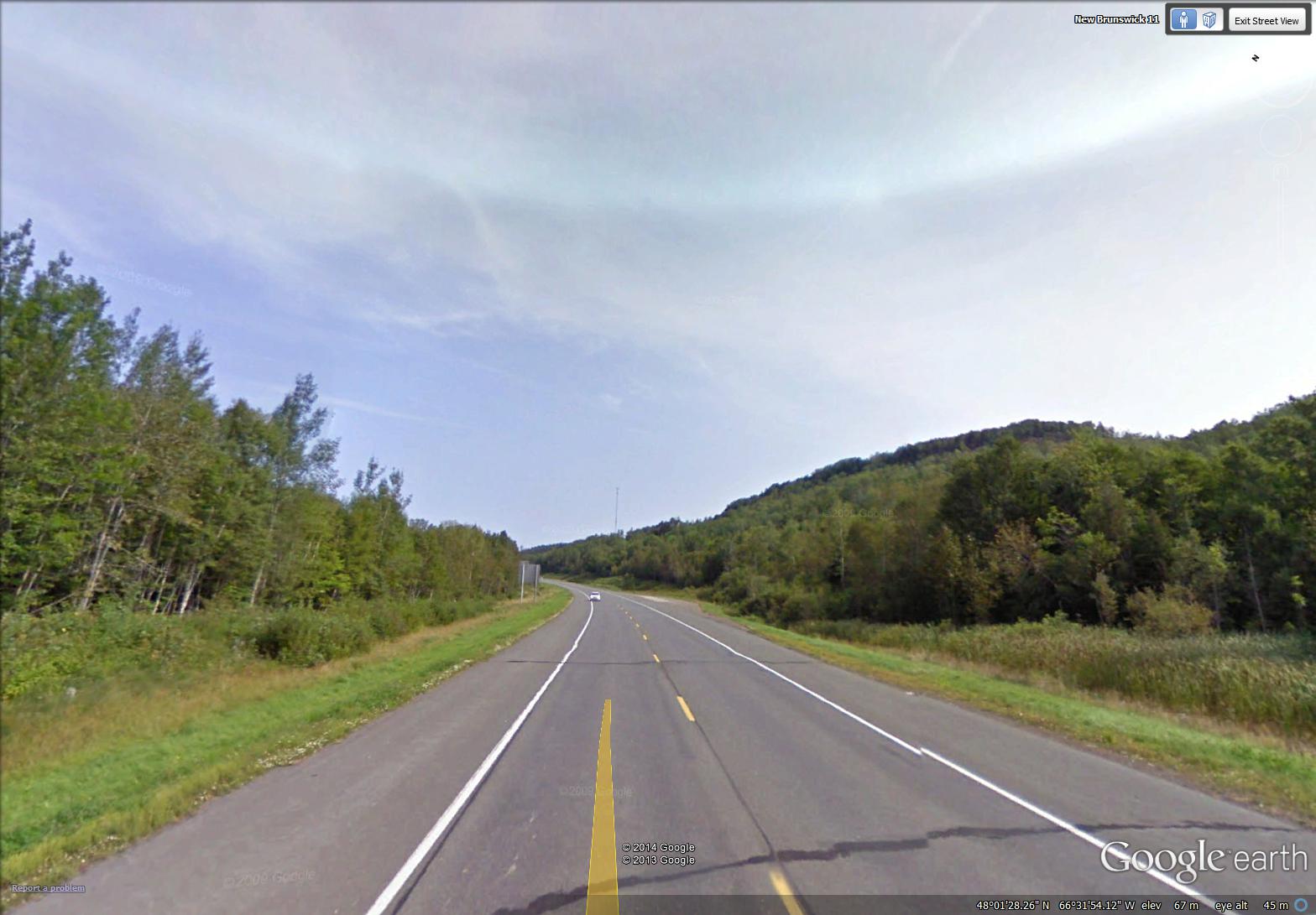
mountain along the highway near Maple Green (image from Street View)
~
I think it is interesting to look for these elements of landscape on the satellite map – I found this feature easily, a dark curved escarpment, just south of Maple Green. It is a ‘mountain’ caught between the water of Porcupine Brook (flowing out of Hicks Lake) and the deposits of the Restigouche River …
~

labelled satellite image (image from Google Earth)
~
You can also look at the mountain in the ‘ground-level view’ of Google Earth. I don’t know how this ‘mountain’ was formed, but a geologist could likely tell an interesting story of its history …
~

the ‘mountain’ is in the upper right hand corner (image from Google Earth)
~
A look at the view above shows how different land owners have taken different approaches to managing their woodlands (the tan-coloured band is a strip of clear-cut forest). The property boundaries, of course, pay little attention to geology, so there are several landowners on the ‘mountain’.
~
In one respect, the property boundaries do pay attention to the landscape. As in other areas along rivers or the coast, properties were historically arranged so each land owners had access to the waterway. You can see this on the satellite image …
~

properties along the river – every owner originally had some access to the river (image from Street View)
~
and also on an old property map of the area …
~

old property map of area around Maple Green (Source: Provincial Archives of New Brunswick)
~
Sometimes, to get access to property by the river, people need long driveways. Sometimes the road has to cross the railroad …
~

January 12, 2014 ‘railroad crossing’ Jane Tims
~
Copyright 2014 Jane Tims


I'd love to hear what you think...