Posts Tagged ‘Caher River Loop’
Virtual hike along the Caher Valley Loop, Burren, Ireland
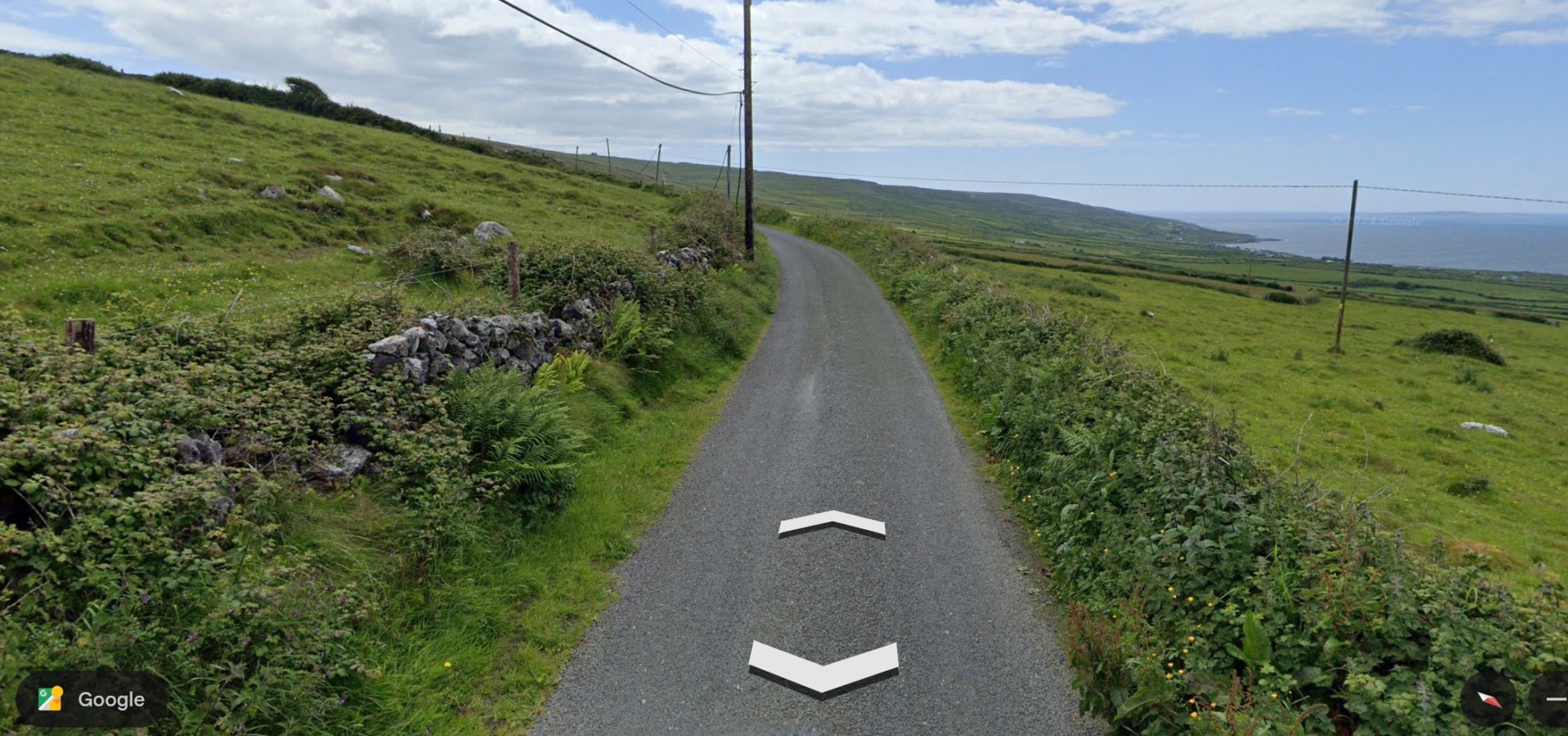
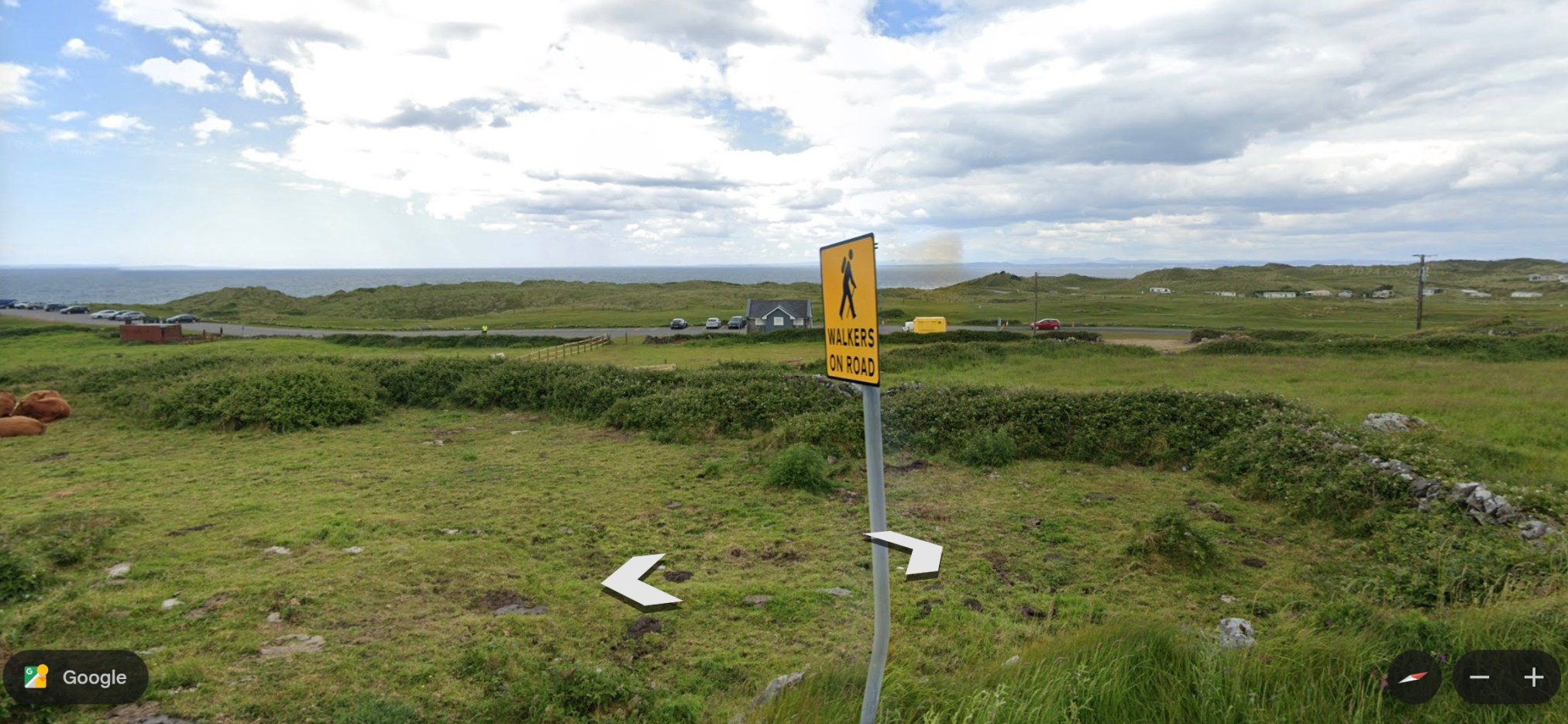
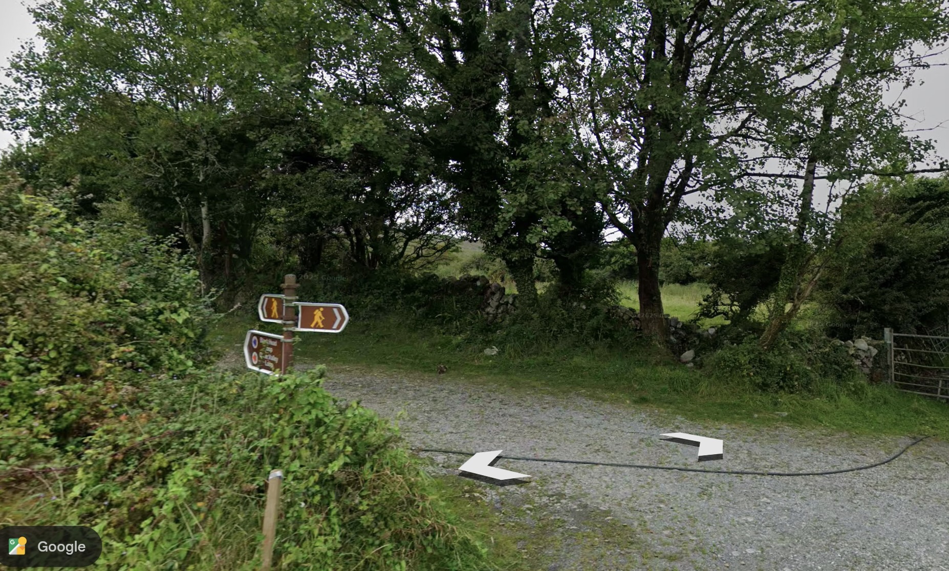
The Caher Valley Loop is a shorter trail (14.5 km), in the same area as the Burren Way (my recent post) and follows, in part, the same ‘green road.’ The trail begins along a main road, the Bôthar Leaca (translates to Flaggy Road). This climbs a hill and the ocean is visible to the right. The trail is included as Route 6 in Tony Kirby’s The Burren & the Aran Islands: A Walking Guide.
~
~
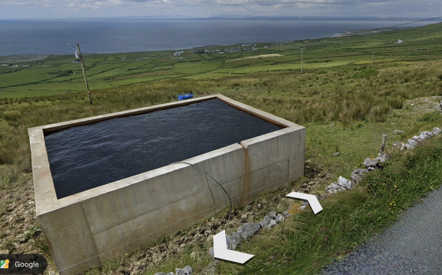
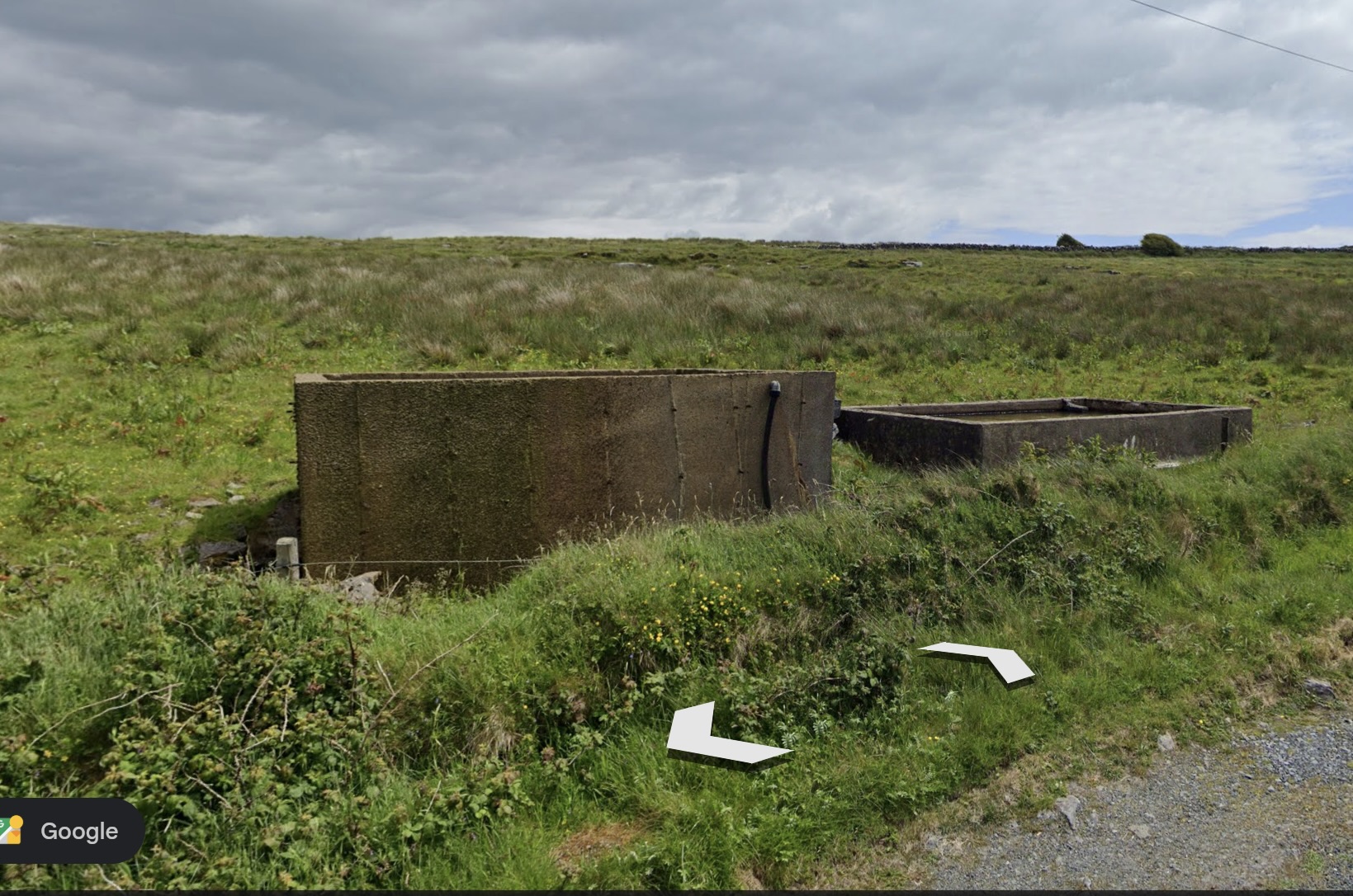
I was puzzled by a couple of structures along the road. My husband says these are cisterns or reservoirs for livestock water, fed by underground springs and streams.
~
~
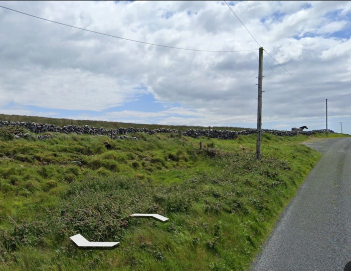
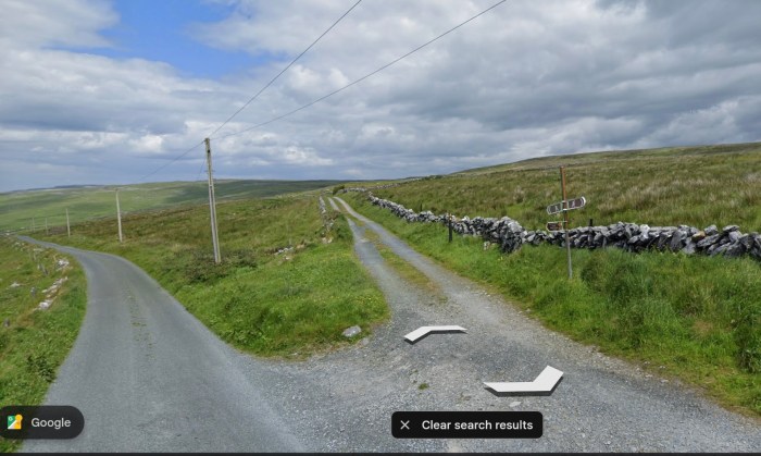
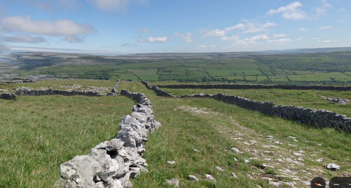
Where I met the horse on my virtual hike of the Burren Way, the trail takes a left across the same ‘green road.’ The ‘green roads’ are usually lined with stone walls and are used for livestock or hiking.
~
~
The Caher Valley Loop continues where the ‘green road’ exits to a Street View road and the trail proceeds all the way to the ocean.
~
~
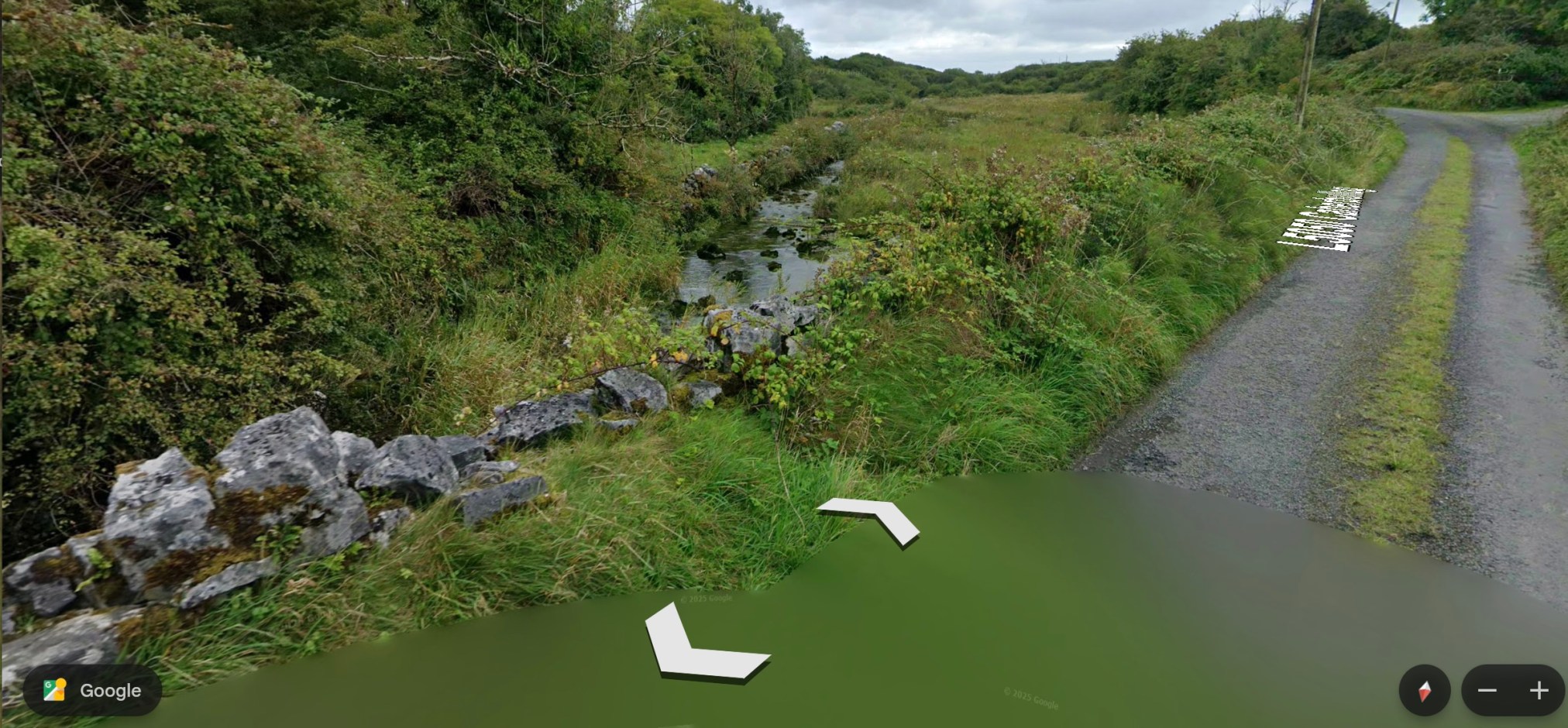
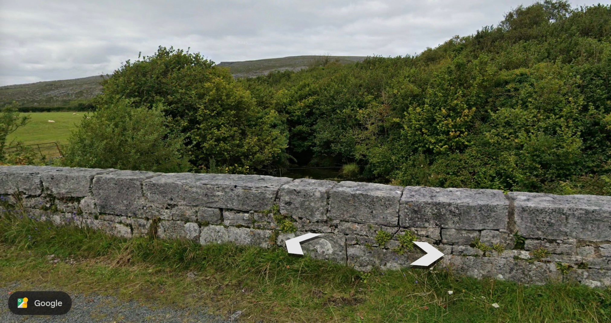
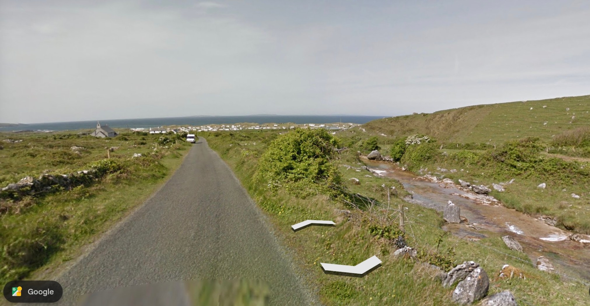
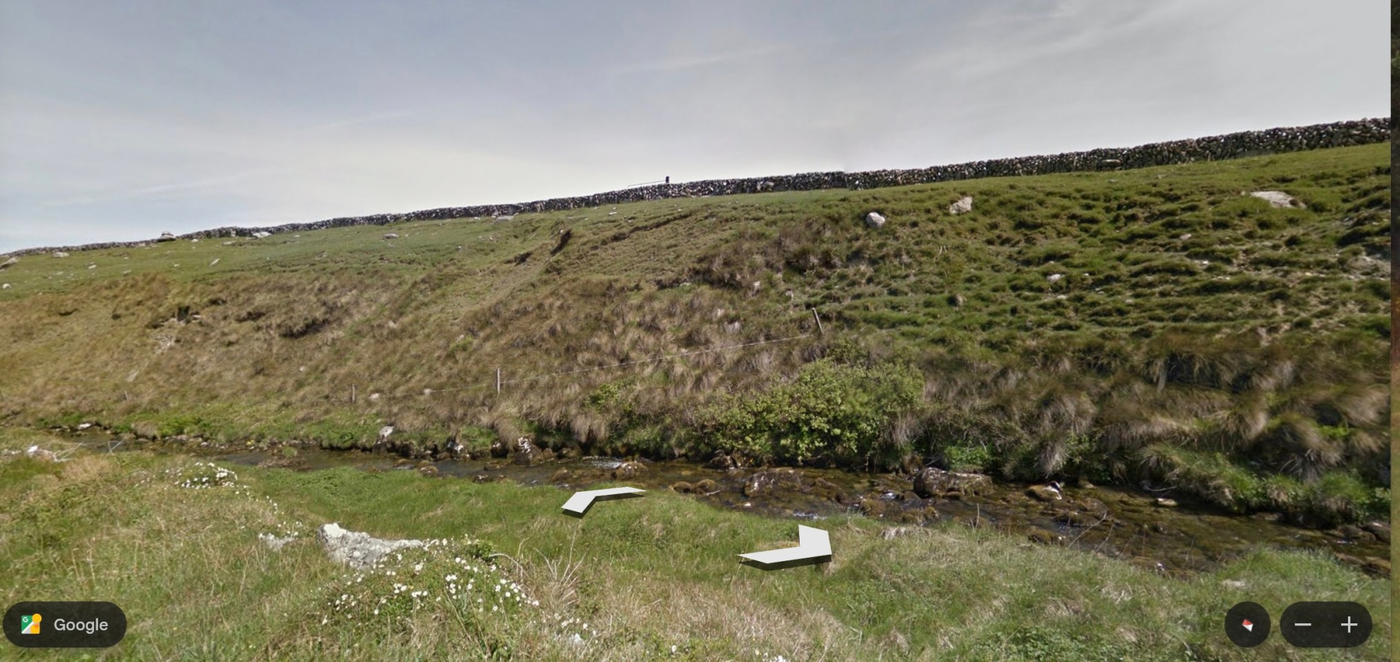
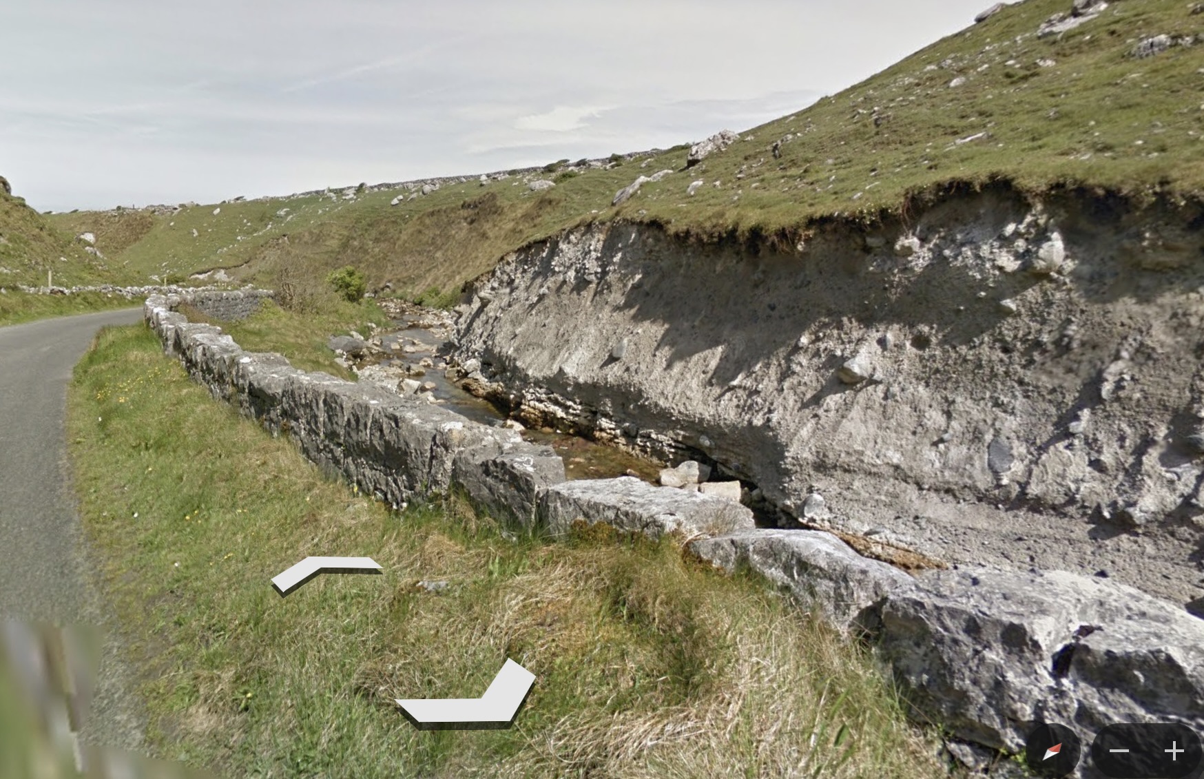
The issue of water seemed to dominate the trail. It follows the Caher River, a narrow stream, the only surface river in the area. Otherwise, water moves underground or surfaces only intermittently. This is because the limestone bedrock allows water to percolate away from the surface. The Caher River exists because of its unusual, impermeable clay riverbed. The trail crosses a couple of bridges and then leads downward to the ocean.
~
~
The terrain is very different from what I am used to—the surface soil is known to move over the limestone substrate, making it unsuitable for agriculture other than pasture. In the photos of the river, you can see the evidence of soil movement in the ‘waves’ of mobile ground and the shallow, eroding soil above the limestone.
~
~
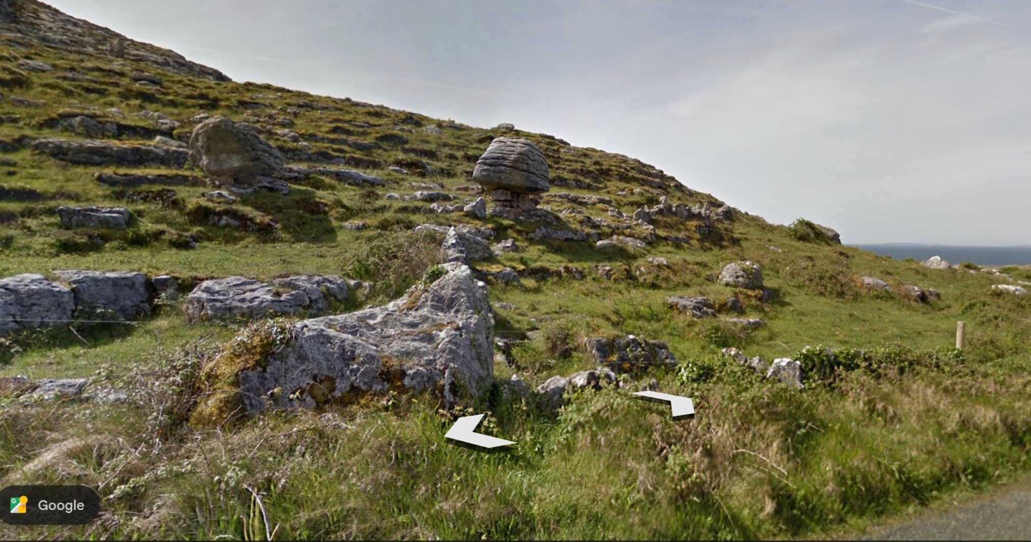
To end my virtual journey, I’ll show a photo of the local terrain and a particularly interesting ‘balancing rock’ (Source:Google Earth).
~
~
All my best,
Jane