Posts Tagged ‘hedgerows’
fields and ferry crossings
~
7-35 September 30, 2013 35 minutes 3.0 km (north of St. Just in Roseland to ferry across River Fal)
~
The thirty-fifth day of my virtual bike trip left me scrambling for an image to paint. I biked over miles of country road and although the countryside is lovely, I couldn’t seem to find an image that ‘spoke’ to me. In this end, I chose a tree along the road to Philleigh. Greens are so difficult for me – I couldn’t seem to achieve anywhere near the yellow hue of the greens in the photo …
~

inspiration for ‘countryside near Philleigh’ (image from Street View)
~

Oct. 3, 2013 ‘countryside near Philleigh’ Jane Tims
~
7-36 October 2, 2013 35 minutes 3.0 km (ferry across River Fal to Feock)
~
Ferry crossings are always fun. The Ferry across the River Fal didn’t look very different from the crossings here in New Brunswick …
~

the blue flat-decked boat is the ferry … and look at the big ship just up river (image from Street View)
~
I especially liked the house where the ferry docked on the west side of the river – lots of flowers and stone …
~
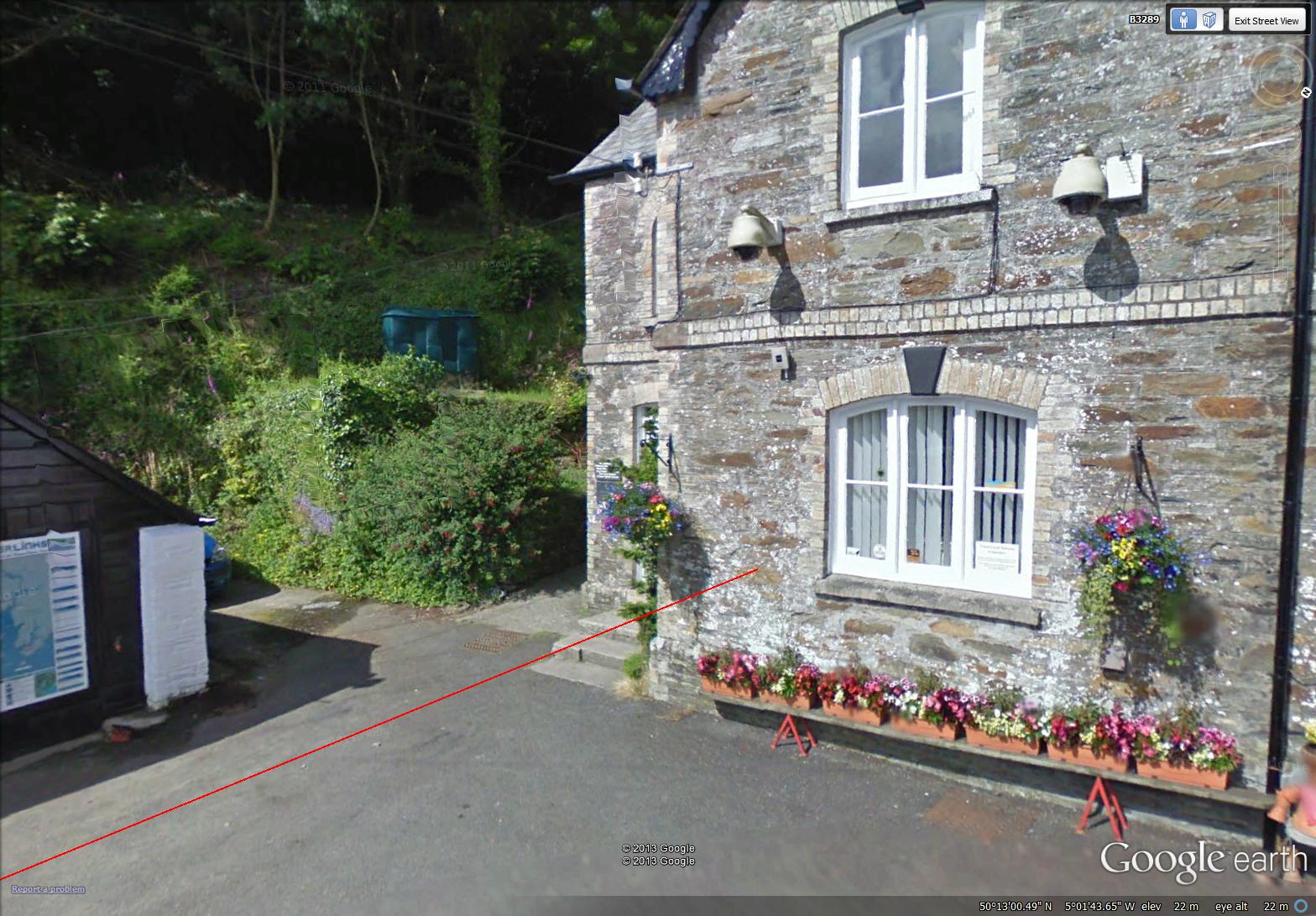
~

September 27, 2013 ‘flowers near River Fal’ Jane Tims
~
7-37 October 8, 2013 25 minutes 3.0 km (Foeck to Penpol)
~
If the thirty-fifth day of my travels was mostly fields, the thirty-seventh was mostly trees. I love the circular ‘tree tunnels’ formed along the Cornwall roads when the hedgerows are pruned. In this interpretation of one of one of those archways, I decided not to paint a single individual leaf …
~

inspiration for ‘road tunnel near Penpol’ (image from Street View)
~

October 3, 2013 ‘road tunnel near Penpol’ Jane Tims
~
Along the way, I often ‘see’ enchanting gateways. I particularly like the gates with stone post like this one near Feock …
~

October 4, 2013 ‘gate near Feock’ Jane Tims
~
Copyright 2013 Jane Tims
mudflats and hedgerows
For eight months now, I have been encouraging myself to exercise by pretending to cycle far from home. I use Street View in Google Earth to explore the countryside in parts of the world where I have never been except in imagination. From January 30, 2013 to June 28, 2013, I cycled virtually in Central France, from Lusignan to Ile de Ré. Since July 1, 2013, I have been following the coast in Cornwall, beginning in Rame. In each post, I have presented Street View images I have ‘seen’ along the road. I have also shown you the drawings and watercolours inspired by the images.
~
Change is always refreshing to me, so I am going to alter the way I report my bike trips. In part I am doing this in order to be able to do more posts in my ‘colour of the month’ series and about writing my novel. I might also return to posting some of my poems.
~
In each post, I’ll report on one or more of my days of exercise, and I will show you the drawing or watercolour and the Street View image that inspired the art. I hope you enjoy comparing the ‘real’ image with my artistic interpretation.
~

map showing distance travelled for day 32 to day 34 (map from Google Earth)
~
7-32 Sept. 24, 2013 40 minutes 3.0 km (Portscatho to Bohantha)
~
South of Portscatho, fields are separated by hedges and rows of mature trees. I loved this view of trees against the blue water of the Atlantic …
~

inspiration for ‘row of trees south of Portscatho’ (Image from Street View)
~

September 21, 2013 ‘row of trees south of Portscatho’ Jane Tims
~
7-33 Sept. 28, 2013 35 minutes 3.0 km (Bohantha to St. Mawes)
~
My virtual bike trip on September 28 took me along the Froe River at low tide. The brown mud dominated the scene and reminded me of some of the areas around Moncton, New Brunswick where we have huge differences between high and low tide and spectacular carved mudflats …
~

inspiration for ‘Froe Creek’ (image from Street View)
~

September 19, 2013 ‘Froe Creek’ Jane Tims
~
7-34 September 30, 2013 30 minutes 3.0 km (St. Mawes to St. Just in Roseland)
~
I continue to be enchanted by the way the roadside vegetation is managed in Cornwall. There are strict rules about how and when to trim the vegetation of the verges (the area between the hedge and the road surface) and the hedge. The Cornish roadside hedges are unique in having a ‘stone and turf’ structure. The hedge is basically a stone-faced earth bank, The vertical face of the hedgerow is populated by ferns and flowering plants. On top of the hedge is turf or a shrubby hedgerow. This area is often occupied by oak and other mature tree species.
~
The resulting environment provides habitat for wild life species, including the wild flowers that have been a delight along every bit of my virtual journey. When vines occupy the face of the hedge, it means the hedge has been cut back too severely.
~
For a fascinating read, have a look at the leaflet ‘Cornish Hedge Management For hedges adjacent to highways’ at http://www.cornwall.gov.uk/default.aspx?page=13777
~

inspiration for ‘road near St. Just in Roseland’ Image from Street View)
~

September 26, 2013 ‘road near St. Just in Roseland’ Jane Tims
~
I hope you have enjoyed this part of my virtual journey. Please let me know what you think when you compare my watercolours with the images that inspired them.
~
Copyright 2013 Jane Tims
peering over hedgerows 7- 10
~

Talland Bay (image from Street View)
~

~

map showing distance travelled (map from Google Earth)
~
I am beginning to realise, the Cornwall countryside is often not visible from the road, a result of the ubiquitous ‘hedgerow’ …
~

peering over hedgerows (image from Street View)
~
Fortunately, there are weird trees at intervals …
~

eerie tree near Talland (image from Street View)
~
and places where the trees make tunnels of the road …
~

narrow road and natural archway (image from Street View)
~

natural archway (image from Street View)
~
Best View: Church in Talland … I tried using pen with the watercolour … I love the big cloud … but the gravestones a bit thin and wavy …
~

July 18, 2013 ‘church in Talland’ Jane Tims
~
and the waves at Talland Bay … these waves have some frothiness compared to my painting of the beach at Millendreath (see post for August 7, 2013) …
~

July 19, 2013 ‘waves at Talland Bay’ Jane Tims
~
Copyright 2013 Jane Tims


