Virtual hike along the Black Head Loop, Burren, Ireland
For the last couple of days, I have explored, virtually, the Black Head Loop, a trail called Route 7 in Tony Kirby’s The Burren & the Aran Islands: A Walking Guide. This trail includes the same ‘green road’ included in the Caher Valley Loop and the Burren Way, described in my last two ‘Burren’ posts, but also takes in some new areas, visible in Google Earth’s Street View.
~
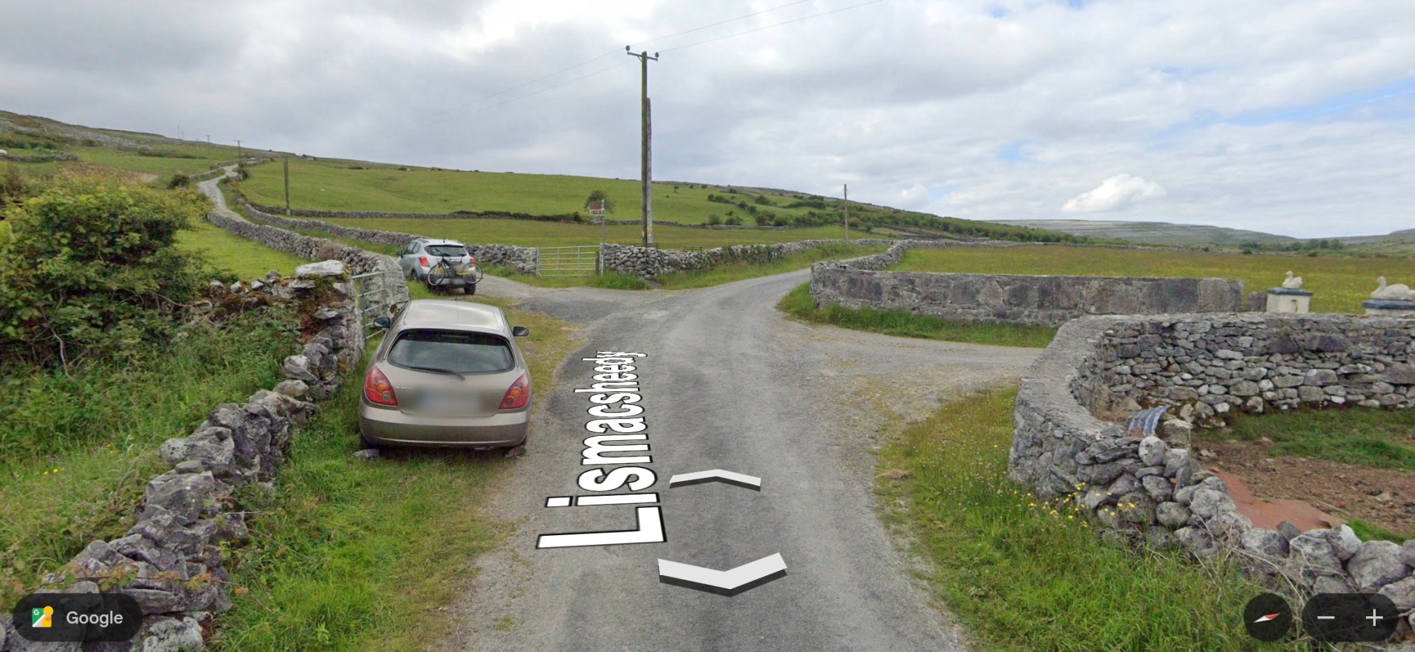
I started the trail where it intersects with the Caher River Road. The land now looks familiar to me, with expanses of green pasture land, stone fences, and the limestone pavements encountered on the Burren Way.
~
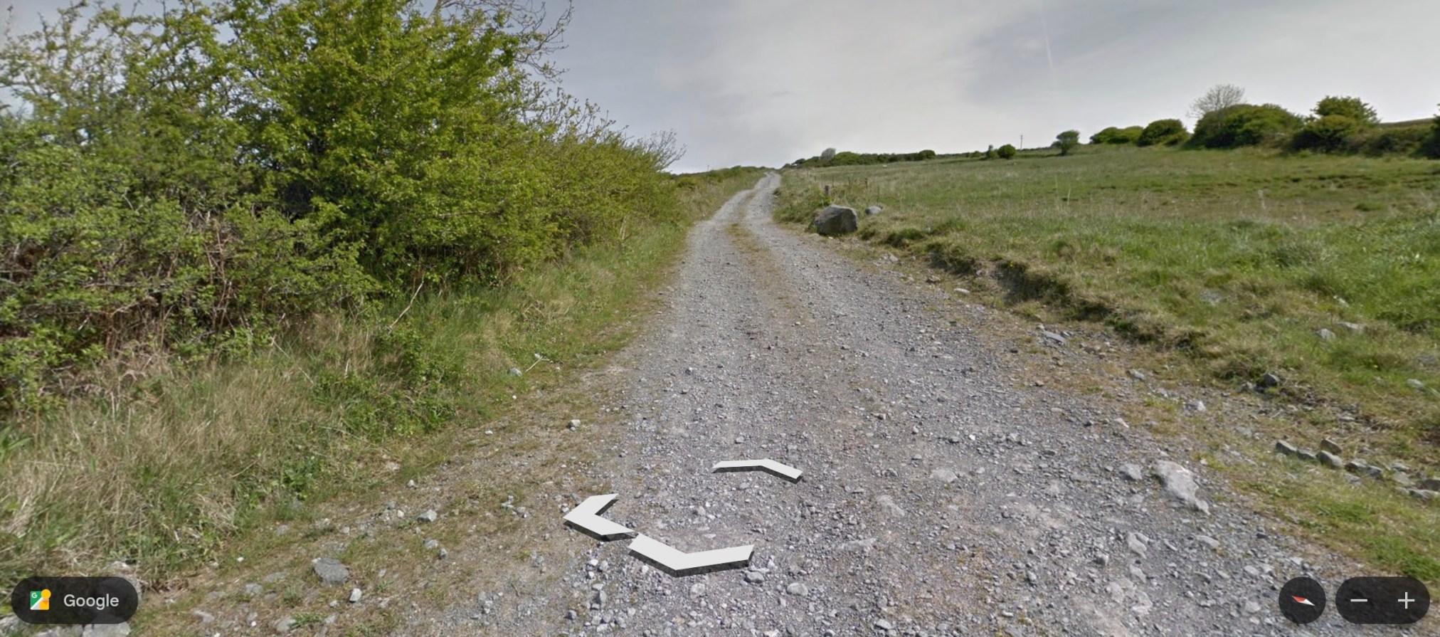
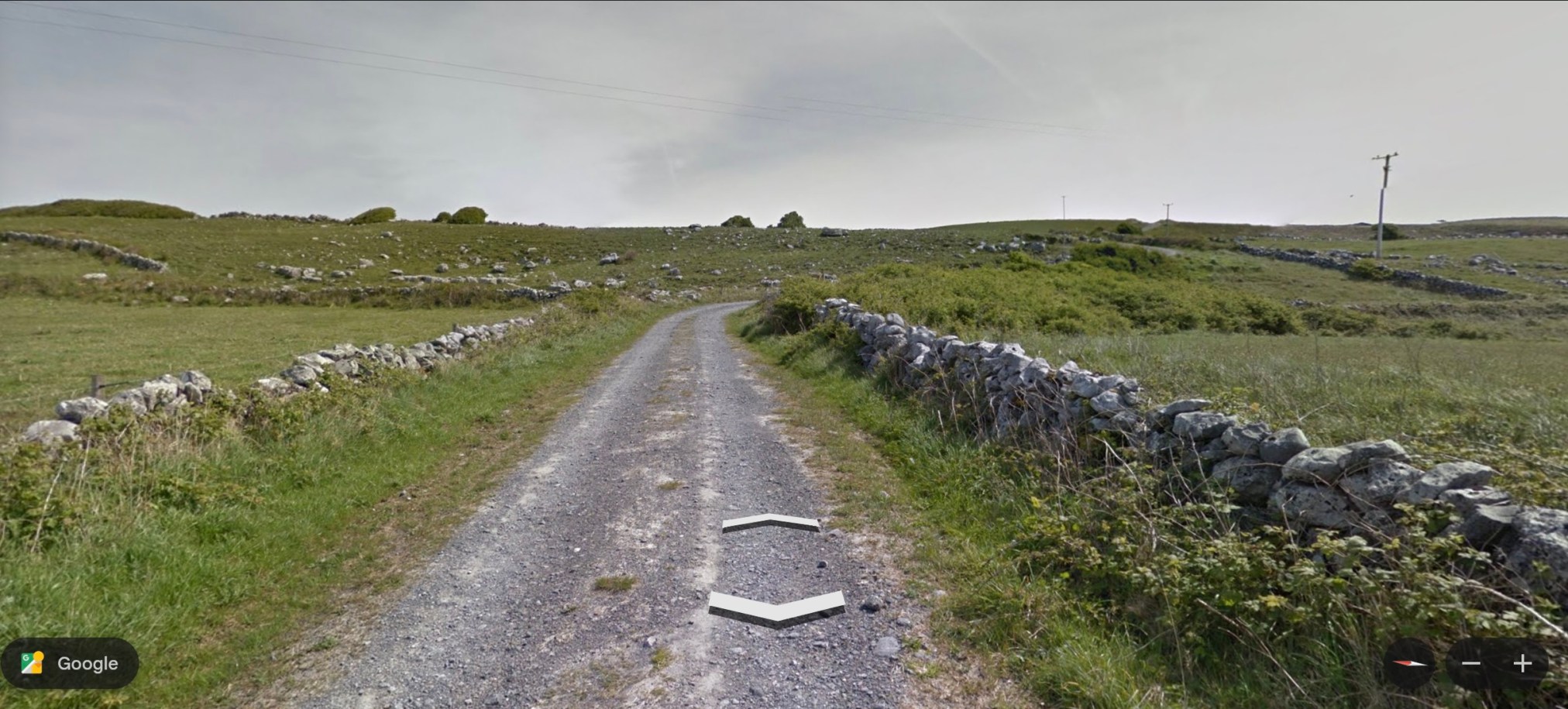
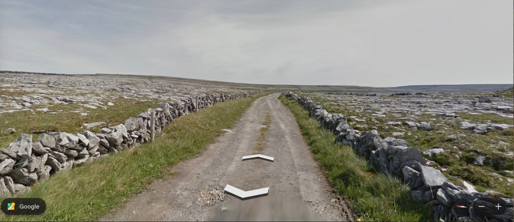
~
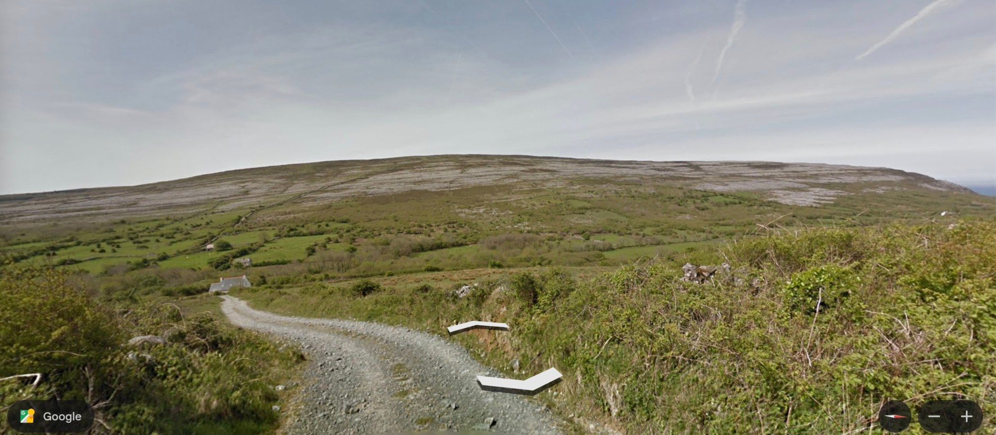
~
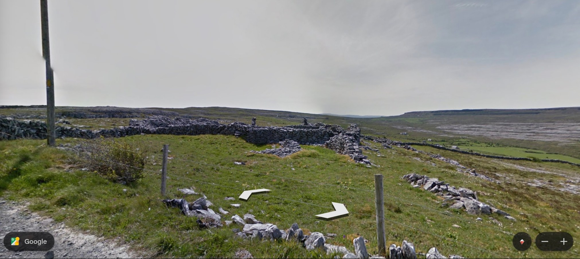
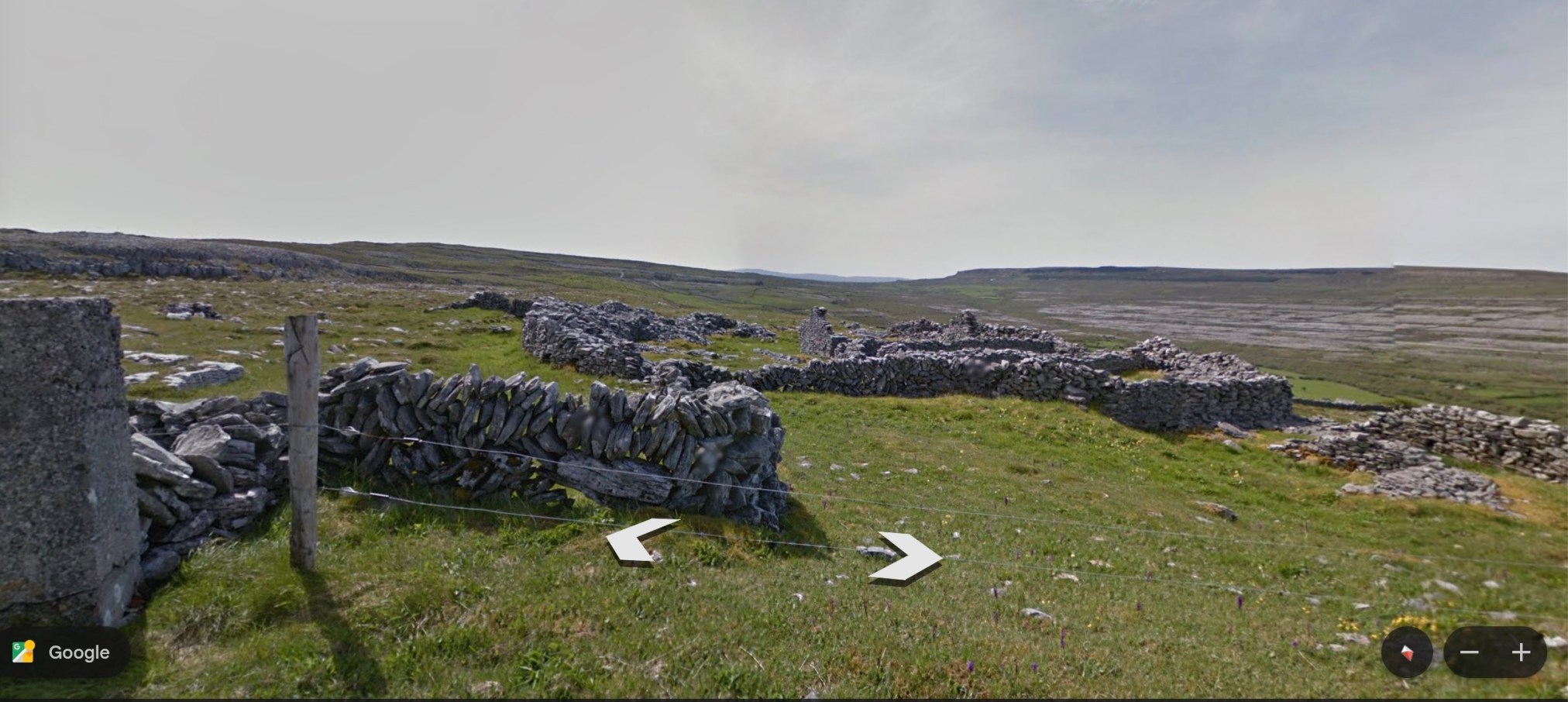
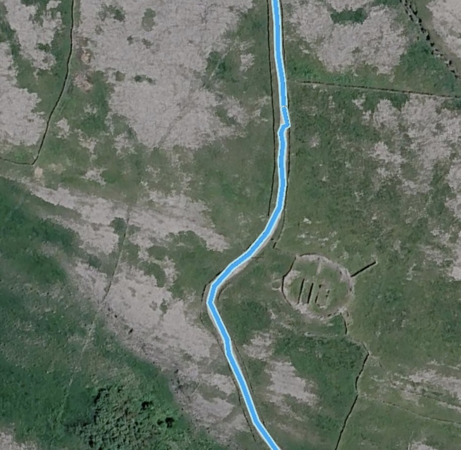
About half way along this part of the trail is a ruin, a ring known as Cathair an Arc Dorais (‘the fort of the high door’). It once housed both a church and an ale house!
~
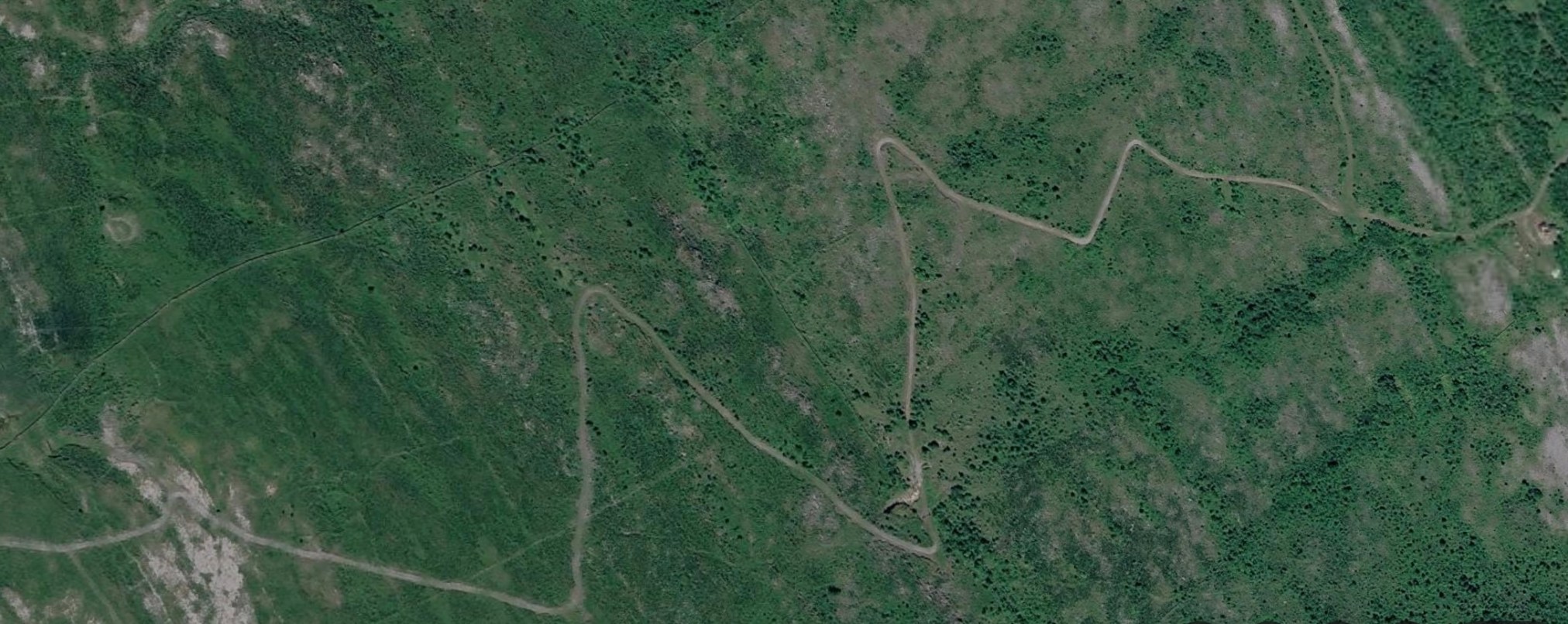
At the end of this road, the trail comes to an intersection and veers to the left towards Cappahawalla Peak. This is a zig zag ‘green road’ that has no Street View but an aerial view hints at the type of terrain.
This area is known for having an abundance and diversity of wilfdflower species. The bee orchid, pyramidal orchid, fragrant orchid and autumn lady’s tresses are all found here. Also, the very uncommon Arctic sandwort (Arenaria norvegica) which is only known from two other locations in the British Isles.
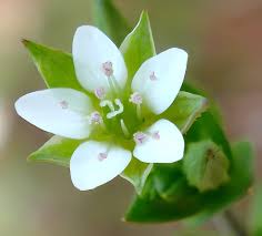
This sandwort is not included in Zoe Devlin’s Flora. She does list other sandworts including thyme-leaved sandwort (Arenaria serpyllifolia), which also grows here in New Brunswick. It is a low-growing herb with tiny white five-petalled flowers.
~
I will continue my ritual ‘walk’ along the Black Head Loop in the next post.
All my best,
Jane






I'd love to hear what you think...