Posts Tagged ‘Nottinghamshire’
virtual travel: Everton to Beckingham
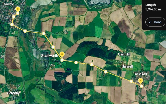
The next stretch of my virtual cycling program (to visit the villages and towns of my ‘Spavold’ ancestors) took me from Everton in Nottinghamshire, to Clayworth, to Beckingham.
~

~
| Date | From | To | Distance | Time |
| November 4 | Everton | Clayworth | 5 km | 20 minutes |
| November 5 | Clayworth | Gringly on the Hill | 4 km | 18 minutes |
| November 6 | Gringly on the Hill | Beckingham | 6 km | 20 minutes |
~
~
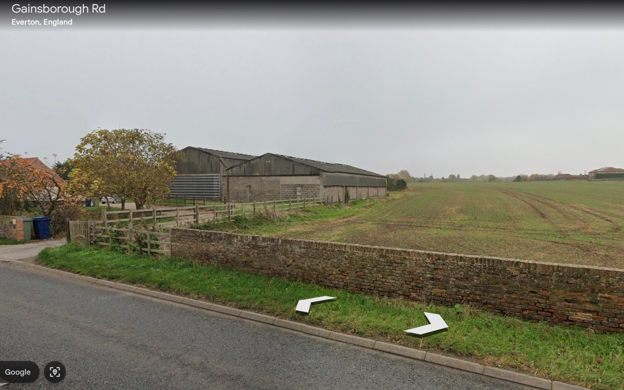
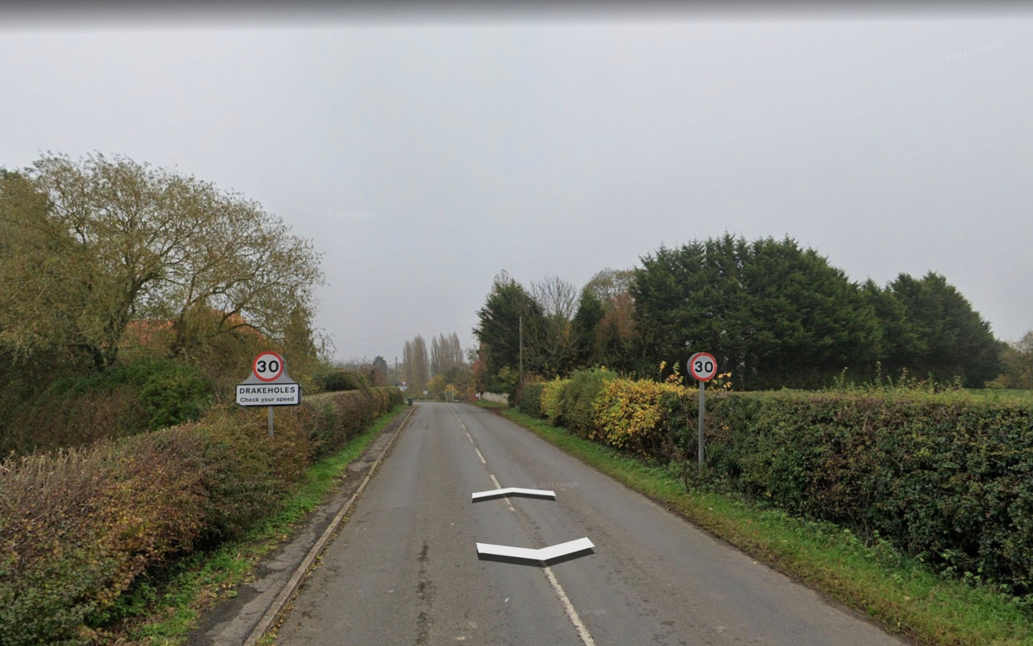
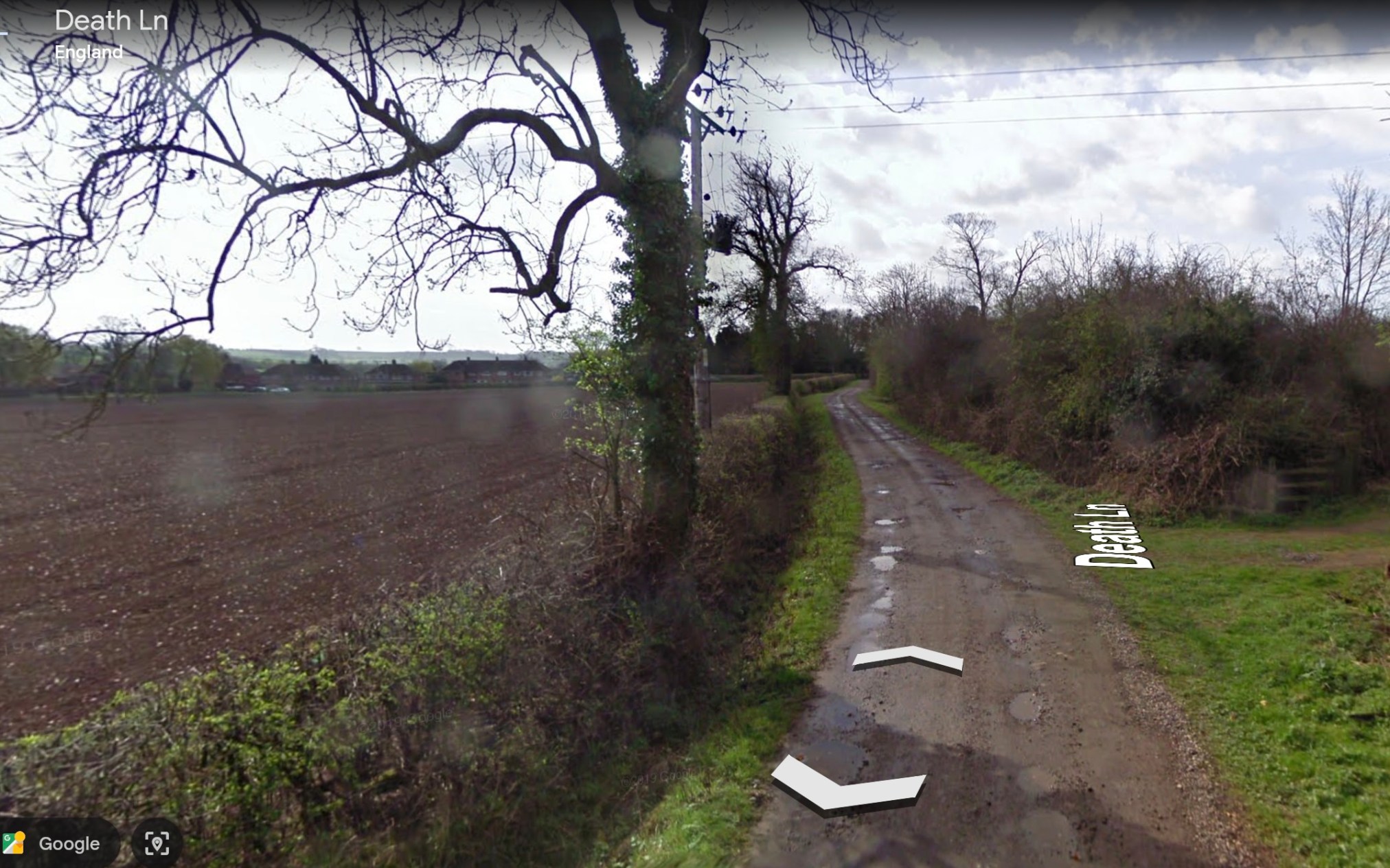
I began at Everton where the land is very flat. The area from there to Clayworth is dominated by fields and farms. The names alongtheu way are interesting… for example Drakeholes???? Death Lane???? The name Clayworth was once thought to represent the soils in the area but now it is thought to refer to a protective area of hills near the village.
~
~
~
The cycle along the road to Gringly on the Hill was flat and also agricultural. Huge fields had been planted along the road.
~

~
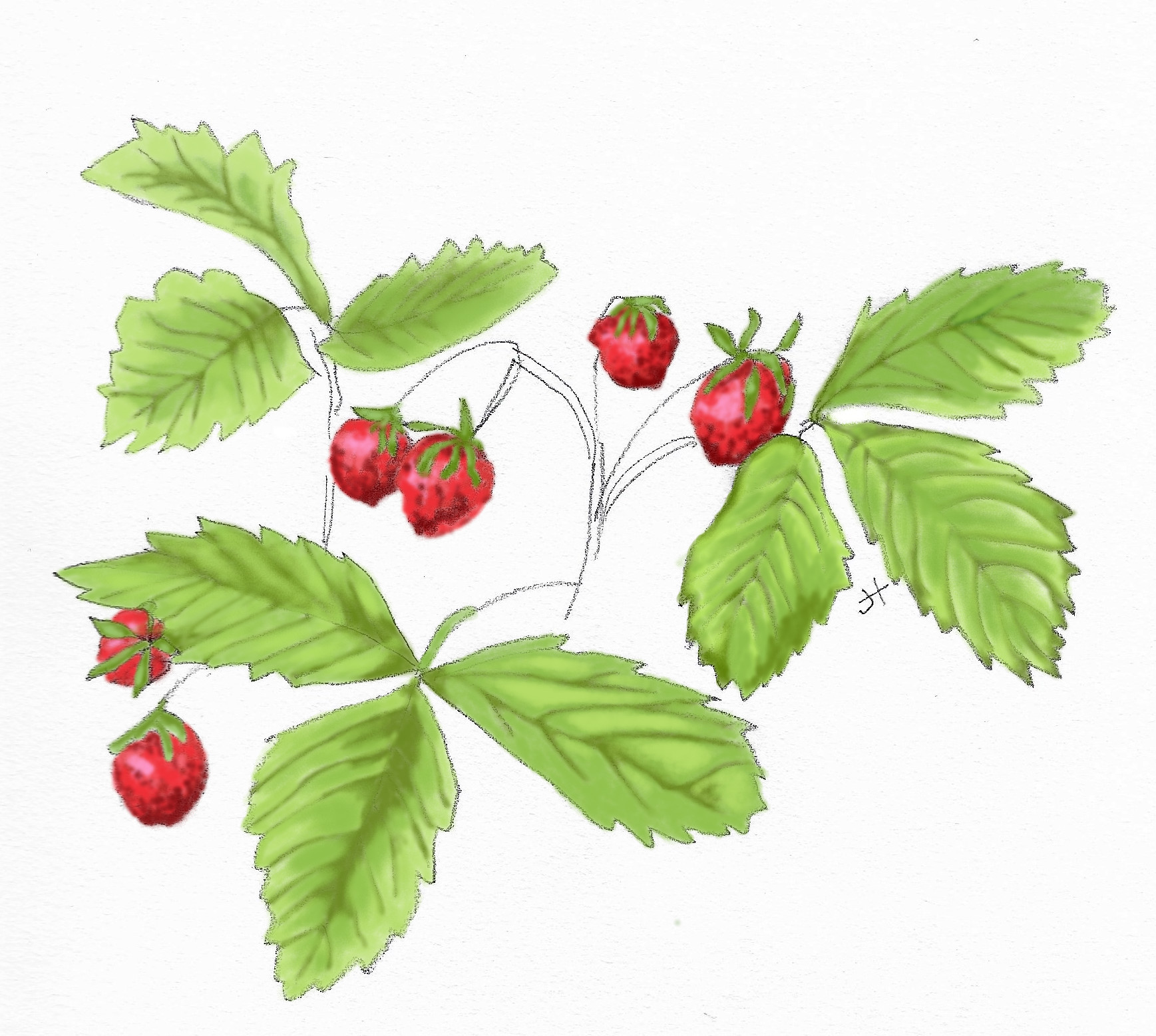
Also, there were wild pink roses in bloom along the way.
~

~
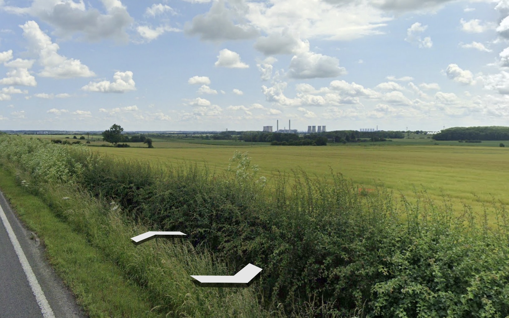
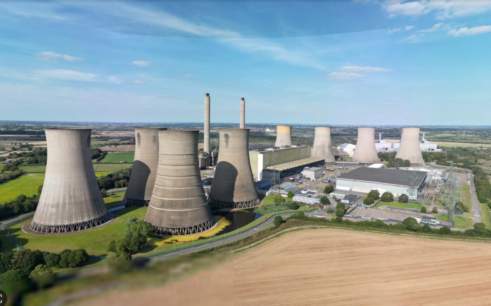
The Double highway from Gringly on the Hill to Beckingham was rather dull, except for a large industrial site on the horizon.
~
~
This turned out to be the power generating station at West Burton.
~
~
Also, in aerial view, I found a large area near North Wheatley that looked, at first, like a large solar farm. With a little reading, I now think it is more likely to be a view of extensive strawberry polytunnels … the area is known for its strawberry production and the logo for North Wheatley includes the image of a strawberry.
~

~
~
The next leg of my journey will take me to Gainsborough and Walkingerham, Lincolnshire, where three early families with the last name Spaveld/Spaven/Spavalde lived in the 1400s.
~
All my best,
Jane
Winter virtual travel: Starting off
This winter, I want to add some exercise to my days, using my stationary cylcle and Google Earth’s ‘Street View’ to travel to some of the places where my Spavold ancestors lived.
~
This week I began my virtual travels in Nottinghamshire, travelling from Bawtry to Scunthorpe and then to Everton.
~
~

~
| Date | From | To | distance | time |
| Oct. 28 | Bawtry | Scunthorpe | 2.5 km | 15 min |
| Oct. 29 | Scunthorpe | Everton | 2.5 kn | 20 min |
~
~

~
The highlight of the virtual trip was seeing the Holy Trinity Church in Everton. This is the church where many Spavolds were baptised, married, and buried. They once walked through those doors! They walked the street I followed! The church was built in 1066 and still stands almost 1000 years later!!!! The original settlement was Danish, called Eofortun.
~
The next stretch of my travels will be to Beckingham and then to Gainsborough in Lincolnshire where the earliest Spavold families lived in the 1400s.
~
All my Best,
Jane Tims (a.k.a. Jane Spavold)


